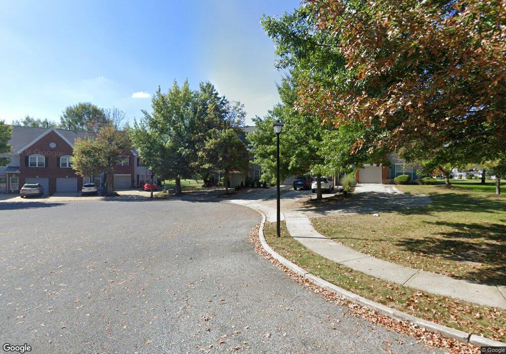
65 Greens Way Blackwood, NJ 08012
Estimated Value: $352,590 - $415,000
--
Bed
--
Bath
1,950
Sq Ft
$199/Sq Ft
Est. Value
About This Home
This home is located at 65 Greens Way, Blackwood, NJ 08012 and is currently estimated at $388,398, approximately $199 per square foot. 65 Greens Way is a home located in Camden County with nearby schools including Glen Landing Middle School, Highland Regional High School, and St. Teresa Regional School.
Ownership History
Date
Name
Owned For
Owner Type
Purchase Details
Closed on
Sep 17, 2018
Sold by
Williams Cynthia and Hample William P
Bought by
Hample William P and Hample Cynthia
Current Estimated Value
Purchase Details
Closed on
Jun 11, 2003
Sold by
Williams Cynthia
Bought by
Williams Cynthia and Hample William P
Home Financials for this Owner
Home Financials are based on the most recent Mortgage that was taken out on this home.
Original Mortgage
$158,400
Interest Rate
5.27%
Mortgage Type
Purchase Money Mortgage
Purchase Details
Closed on
Sep 24, 1993
Sold by
K Hovnanian At Valley Brook In
Bought by
Diangelo Guy and Williams Cynthia
Home Financials for this Owner
Home Financials are based on the most recent Mortgage that was taken out on this home.
Original Mortgage
$148,000
Interest Rate
6.87%
Mortgage Type
Purchase Money Mortgage
Create a Home Valuation Report for This Property
The Home Valuation Report is an in-depth analysis detailing your home's value as well as a comparison with similar homes in the area
Home Values in the Area
Average Home Value in this Area
Purchase History
| Date | Buyer | Sale Price | Title Company |
|---|---|---|---|
| Hample William P | -- | None Available | |
| Williams Cynthia | -- | -- | |
| Diangelo Guy | $156,754 | -- |
Source: Public Records
Mortgage History
| Date | Status | Borrower | Loan Amount |
|---|---|---|---|
| Previous Owner | Williams Cynthia | $158,400 | |
| Previous Owner | Diangelo Guy | $148,000 |
Source: Public Records
Tax History Compared to Growth
Tax History
| Year | Tax Paid | Tax Assessment Tax Assessment Total Assessment is a certain percentage of the fair market value that is determined by local assessors to be the total taxable value of land and additions on the property. | Land | Improvement |
|---|---|---|---|---|
| 2025 | $9,851 | $229,100 | $64,100 | $165,000 |
| 2024 | $9,556 | $229,100 | $64,100 | $165,000 |
| 2023 | $9,556 | $229,100 | $64,100 | $165,000 |
| 2022 | $9,487 | $229,100 | $64,100 | $165,000 |
| 2021 | $9,253 | $229,100 | $64,100 | $165,000 |
| 2020 | $9,253 | $229,100 | $64,100 | $165,000 |
| 2019 | $9,052 | $229,100 | $64,100 | $165,000 |
| 2018 | $9,015 | $229,100 | $64,100 | $165,000 |
| 2017 | $8,733 | $229,100 | $64,100 | $165,000 |
| 2016 | $8,545 | $229,100 | $64,100 | $165,000 |
| 2015 | $7,943 | $229,100 | $64,100 | $165,000 |
| 2014 | $7,911 | $229,100 | $64,100 | $165,000 |
Source: Public Records
Map
Nearby Homes
- 90 La Costa Dr
- 84 La Costa Dr
- 42 La Costa Dr
- 1432 Boxwood Dr
- 116 Keystone Ave
- 5 Heathrow Ct
- 10 Troon Rd
- 505 Doral Dr
- 15 Gravers Ln
- 137 Brewer Ave
- 6 Muirfield Ct
- 84 S Brookline Dr
- 1903 Doral Dr
- 10 Muirfield Ct
- 4401 Aberdeen Ln
- 1590 Ellis Ave
- 1643 Charter Oak Ave
- 115 Bradley Ct
- 212 Summit Ave
- 203 Masters Dr