6500 N Nickelplate St Louisville, OH 44641
Estimated Value: $464,000 - $496,590
5
Beds
4
Baths
3,816
Sq Ft
$127/Sq Ft
Est. Value
About This Home
This home is located at 6500 N Nickelplate St, Louisville, OH 44641 and is currently estimated at $485,148, approximately $127 per square foot. 6500 N Nickelplate St is a home located in Stark County with nearby schools including Louisville High School and St. Thomas Aquinas High School & Middle School.
Ownership History
Date
Name
Owned For
Owner Type
Purchase Details
Closed on
Nov 14, 2022
Sold by
Bullock Samuel E and Bullock Annie R
Bought by
Bullock Samuel E and Bullock Annie R
Current Estimated Value
Home Financials for this Owner
Home Financials are based on the most recent Mortgage that was taken out on this home.
Original Mortgage
$400,000
Outstanding Balance
$387,888
Interest Rate
7.08%
Mortgage Type
VA
Estimated Equity
$97,260
Purchase Details
Closed on
Aug 25, 2011
Sold by
Tignor Michael W and Tignor Lorrie A
Bought by
Bullock Samuel E
Home Financials for this Owner
Home Financials are based on the most recent Mortgage that was taken out on this home.
Original Mortgage
$255,089
Interest Rate
4.55%
Mortgage Type
FHA
Create a Home Valuation Report for This Property
The Home Valuation Report is an in-depth analysis detailing your home's value as well as a comparison with similar homes in the area
Home Values in the Area
Average Home Value in this Area
Purchase History
| Date | Buyer | Sale Price | Title Company |
|---|---|---|---|
| Bullock Samuel E | -- | Vylla Title | |
| Bullock Samuel E | $227,000 | Attorney |
Source: Public Records
Mortgage History
| Date | Status | Borrower | Loan Amount |
|---|---|---|---|
| Open | Bullock Samuel E | $400,000 | |
| Previous Owner | Bullock Samuel E | $255,089 |
Source: Public Records
Tax History Compared to Growth
Tax History
| Year | Tax Paid | Tax Assessment Tax Assessment Total Assessment is a certain percentage of the fair market value that is determined by local assessors to be the total taxable value of land and additions on the property. | Land | Improvement |
|---|---|---|---|---|
| 2025 | -- | $135,660 | $44,590 | $91,070 |
| 2024 | -- | $135,660 | $44,590 | $91,070 |
| 2023 | $3,841 | $96,740 | $35,560 | $61,180 |
| 2022 | $3,888 | $96,740 | $35,560 | $61,180 |
| 2021 | $3,900 | $96,740 | $35,560 | $61,180 |
| 2020 | $3,324 | $88,800 | $32,900 | $55,900 |
| 2019 | $3,338 | $88,820 | $32,910 | $55,910 |
| 2018 | $3,329 | $88,820 | $32,910 | $55,910 |
| 2017 | $2,944 | $77,710 | $26,010 | $51,700 |
| 2016 | $2,879 | $77,710 | $26,010 | $51,700 |
| 2015 | $2,887 | $77,710 | $26,010 | $51,700 |
| 2014 | $1,599 | $95,760 | $26,020 | $69,740 |
| 2013 | $2,252 | $95,760 | $26,020 | $69,740 |
Source: Public Records
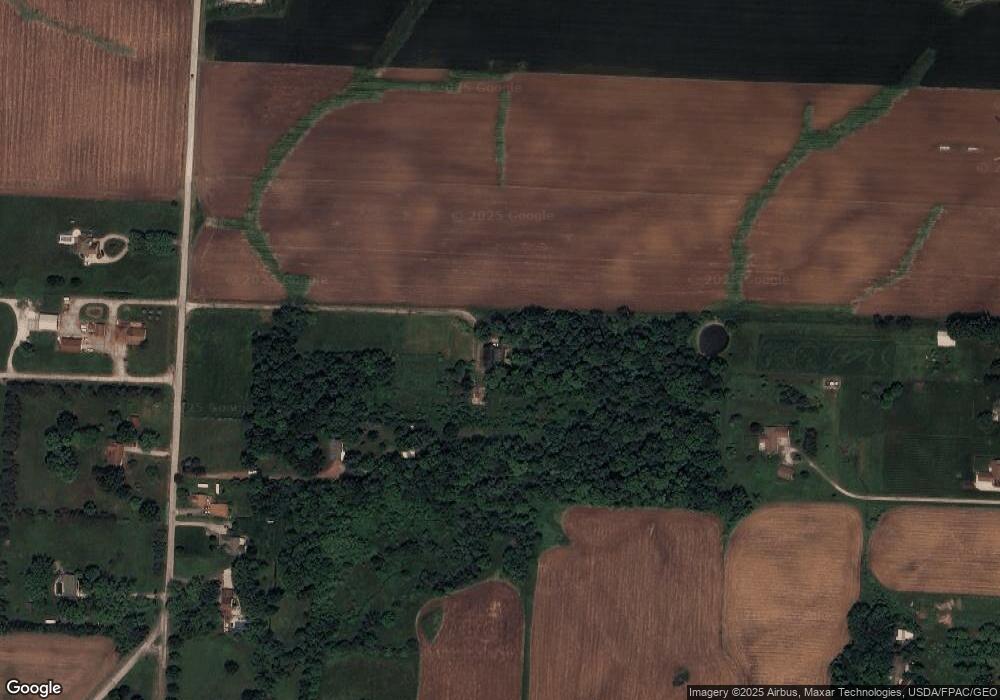
Map
Nearby Homes
- 6052 N Nickelplate St
- 5495 Meese Rd NE
- 5765 Maplegrove St
- 7844 Morningstar Dr
- 2015 E Main St
- 910 Crosswyck Cir
- 1170 Winding Ridge Ave
- 316 E Reno Dr
- 5474 Ravenna Ave
- 203 Brookfield St
- 0 Michigan Blvd
- 428 Honeycrisp Dr NE
- 3047 Mcintosh Dr NE
- 432 Honeycrisp Dr NE
- 2962 Mcintosh Dr NE
- 2963 Mcintosh Dr NE
- 430 Honeycrisp Dr NE
- 2957 Mcintosh Dr NE
- 524 Glenbar St
- 0 Glenbar St
- 6440 N Nickelplate St
- 6441 Joliat Ave
- 6394 N Nickelplate St
- 6398 N Nickelplate St
- 6370 N Nickelplate St
- 6503 N Nickelplate St
- 6415 N Nickelplate St
- 6535 N Nickelplate St
- 6172 Schloneger Dr
- 6152 Schloneger Dr
- 6373 N Nickelplate St
- 6373 Nickel St
- 6160 Schloneger Dr
- 6461 Joliat Ave
- 6415 Joliat Ave
- 6501 Joliat Ave
- 6291 Joliat Ave
- 6337 Joliat Ave
- 6337 Joliat Ave
- 6300 N Nickelplate St