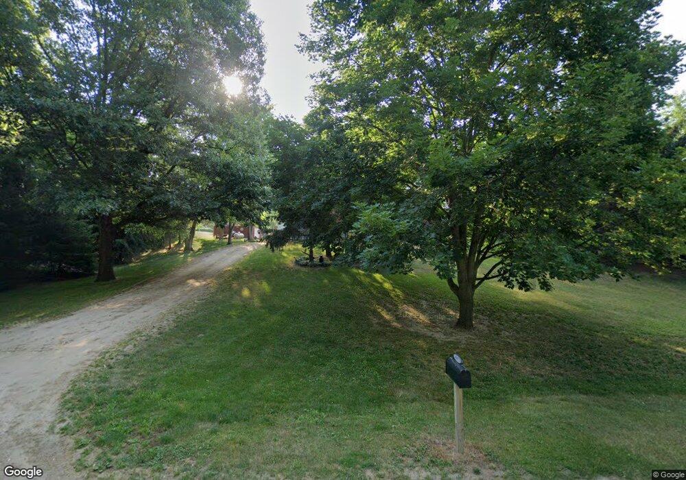
65071 Big Hill Rd Sturgis, MI 49091
Estimated Value: $161,461 - $270,000
--
Bed
1
Bath
864
Sq Ft
$252/Sq Ft
Est. Value
About This Home
This home is located at 65071 Big Hill Rd, Sturgis, MI 49091 and is currently estimated at $217,865, approximately $252 per square foot. 65071 Big Hill Rd is a home located in St. Joseph County with nearby schools including Burr Oak Elementary School and Burr Oak High School.
Ownership History
Date
Name
Owned For
Owner Type
Purchase Details
Closed on
Nov 3, 2020
Sold by
Kline Diane E and Thrasher Diane E
Bought by
Kline Diane E and Kline Roger E
Current Estimated Value
Purchase Details
Closed on
Oct 4, 2003
Sold by
Scheetz Lou Ann and Lauseng Judy
Bought by
Thrasher Diane E
Purchase Details
Closed on
Sep 16, 2003
Sold by
Scheetz Lou Ann and Lauseng Judy
Purchase Details
Closed on
Jul 18, 1995
Sold by
Gest Howard and Gest Doris
Bought by
Thrasher Diane E
Create a Home Valuation Report for This Property
The Home Valuation Report is an in-depth analysis detailing your home's value as well as a comparison with similar homes in the area
Home Values in the Area
Average Home Value in this Area
Purchase History
| Date | Buyer | Sale Price | Title Company |
|---|---|---|---|
| Kline Diane E | -- | None Available | |
| Thrasher Diane E | -- | -- | |
| -- | -- | -- | |
| Scheetz Lou Ann | -- | -- | |
| Thrasher Diane E | -- | -- |
Source: Public Records
Tax History Compared to Growth
Tax History
| Year | Tax Paid | Tax Assessment Tax Assessment Total Assessment is a certain percentage of the fair market value that is determined by local assessors to be the total taxable value of land and additions on the property. | Land | Improvement |
|---|---|---|---|---|
| 2025 | $942 | $75,300 | $10,200 | $65,100 |
| 2024 | $407 | $70,100 | $12,000 | $58,100 |
| 2023 | $388 | $59,400 | $6,900 | $52,500 |
| 2022 | $0 | $52,300 | $6,900 | $45,400 |
| 2021 | $829 | $50,100 | $6,900 | $43,200 |
| 2020 | $820 | $45,200 | $6,500 | $38,700 |
| 2019 | $804 | $40,500 | $6,000 | $34,500 |
| 2018 | $745 | $39,900 | $6,000 | $33,900 |
| 2017 | $722 | $36,700 | $36,700 | $0 |
| 2016 | -- | $40,500 | $40,500 | $0 |
| 2015 | -- | $38,200 | $0 | $0 |
| 2014 | -- | $39,100 | $39,100 | $0 |
| 2012 | -- | $36,800 | $36,800 | $0 |
Source: Public Records
Map
Nearby Homes
- V/L White Pine Dr
- 28195 Blackberry Ln
- 27810 Maystead Rd
- 28123 Timberly Dr
- 66223 Grey Lake Rd
- 0 V L M66- 102+ - Unit 24045986
- 27304 Oak Dr
- 66109 Hideaway Ln
- 1100 Sherwood Forrest Trail
- 814 N Lakeview Ave
- 708 N Centerville Rd
- 612 N Prospect St
- 610 N Prospect St
- 502 E Jerolene St
- 607 George St
- 609 Sturgis St
- 418 Center Ave
- 805 N Nottawa St
- 404 Susan Ave
- 602 Jean Ave
- 65239 Big Hill Rd
- 29169 Maystead Rd
- 28797 Maystead Rd
- 65093 Big Hill Rd
- 65145 Big Hill Rd
- 28833 Maystead Rd
- 28853 Maystead Rd
- 65025 Big Hill Rd
- 28889 Maystead Rd
- 28543 Maystead Rd
- 28501 Maystead Rd
- 28531 Maystead Rd
- 28469 Maystead Rd
- 28469 Maystead Rd
- 28469 Maystead Rd
- 28469 Maystead Rd
- 28547 Maystead Rd
- 28469 Maystead Rd
- 28451 Maystead Rd
- 28549 Maystead Rd