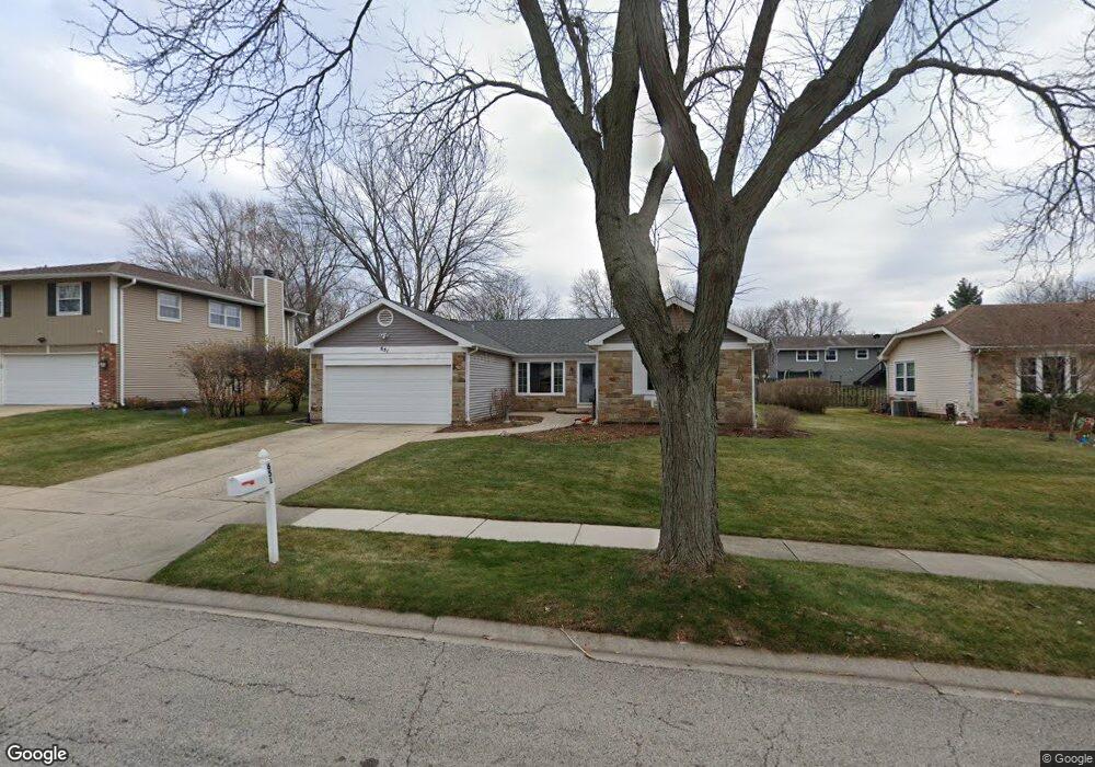
651 Butterfield Dr Algonquin, IL 60102
High Hill Farms NeighborhoodEstimated Value: $375,000 - $388,000
3
Beds
2
Baths
1,810
Sq Ft
$211/Sq Ft
Est. Value
About This Home
This home is located at 651 Butterfield Dr, Algonquin, IL 60102 and is currently estimated at $381,160, approximately $210 per square foot. 651 Butterfield Dr is a home located in McHenry County with nearby schools including Westfield Community School, Kenneth E Neubert Elementary School, and United Junior High School.
Ownership History
Date
Name
Owned For
Owner Type
Purchase Details
Closed on
Nov 13, 2023
Sold by
Schroeder Paul M and Schroeder Victoria T
Bought by
Paul M Schroeder Revocable Living Trust and Victoria T Skarie-Schroeder Revocable Living
Current Estimated Value
Purchase Details
Closed on
Aug 16, 2017
Sold by
Grecco Connie
Bought by
Schroeder Paul M and Skarie Schroeder Victoria T
Home Financials for this Owner
Home Financials are based on the most recent Mortgage that was taken out on this home.
Original Mortgage
$220,190
Interest Rate
3.96%
Mortgage Type
New Conventional
Create a Home Valuation Report for This Property
The Home Valuation Report is an in-depth analysis detailing your home's value as well as a comparison with similar homes in the area
Home Values in the Area
Average Home Value in this Area
Purchase History
| Date | Buyer | Sale Price | Title Company |
|---|---|---|---|
| Paul M Schroeder Revocable Living Trust | -- | None Listed On Document | |
| Schroeder Paul M | $227,000 | Heritage Title Co |
Source: Public Records
Mortgage History
| Date | Status | Borrower | Loan Amount |
|---|---|---|---|
| Previous Owner | Schroeder Paul M | $220,190 |
Source: Public Records
Tax History Compared to Growth
Tax History
| Year | Tax Paid | Tax Assessment Tax Assessment Total Assessment is a certain percentage of the fair market value that is determined by local assessors to be the total taxable value of land and additions on the property. | Land | Improvement |
|---|---|---|---|---|
| 2024 | $7,120 | $99,020 | $23,449 | $75,571 |
| 2023 | $6,744 | $88,561 | $20,972 | $67,589 |
| 2022 | $7,040 | $88,087 | $21,044 | $67,043 |
| 2021 | $6,749 | $82,064 | $19,605 | $62,459 |
| 2020 | $6,569 | $79,159 | $18,911 | $60,248 |
| 2019 | $6,406 | $75,765 | $18,100 | $57,665 |
| 2018 | $6,099 | $69,991 | $16,721 | $53,270 |
| 2017 | $4,681 | $65,936 | $15,752 | $50,184 |
| 2016 | $4,943 | $61,842 | $14,774 | $47,068 |
| 2013 | -- | $61,211 | $13,783 | $47,428 |
Source: Public Records
Map
Nearby Homes
- 721 Brentwood Ct
- 615 Harper Dr
- 1235 Fairmont Ct
- 102 Center St
- 266 Grandview Ct
- 909 Roger St
- 16 Brian Ct
- 1431 Essex St
- 0 River Dr N Unit MRD12473279
- 809 Menominee Dr
- 807 Menominee Dr
- 420 N Harrison St
- 1 N Hubbard St
- SWC Talaga and Algonquin Rd
- 700 Fairfield Ln
- 900 Windstone Ct
- LOT 3 Blackhawk Dr
- 710 Braewood Dr
- 338 Hiawatha Dr
- 135 Arquilla Dr
- 641 Butterfield Dr
- 661 Butterfield Dr
- 640 Chestnut Ct
- 630 Chestnut Ct
- 650 Chestnut Ct Unit 1
- 631 Butterfield Dr
- 660 Butterfield Dr
- 650 Butterfield Dr
- 670 Butterfield Dr
- 620 Chestnut Ct
- 640 Butterfield Dr
- 621 Butterfield Dr
- 701 Butterfield Dr
- 700 Chestnut Ct
- 635 Chestnut Ct
- 610 Chestnut Ct
- 655 Clearview Ct
- 625 Chestnut Ct
- 645 Chestnut Ct
- 630 Butterfield Dr