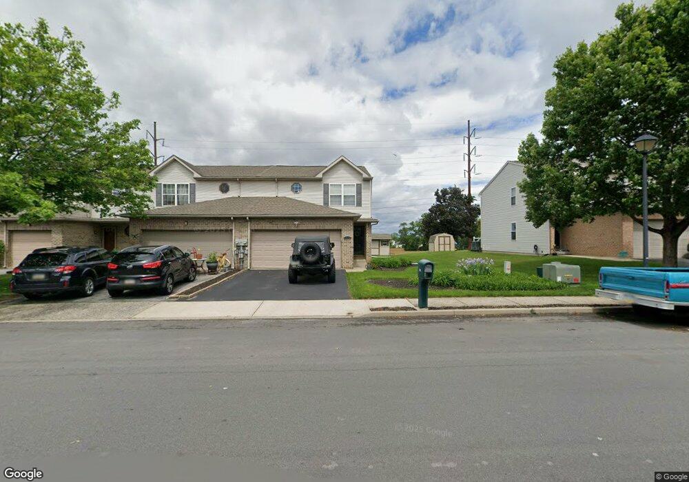
6519 Pioneer Dr Macungie, PA 18062
Lower Macungie Township West NeighborhoodEstimated Value: $348,000 - $356,000
3
Beds
3
Baths
1,616
Sq Ft
$218/Sq Ft
Est. Value
About This Home
This home is located at 6519 Pioneer Dr, Macungie, PA 18062 and is currently estimated at $352,040, approximately $217 per square foot. 6519 Pioneer Dr is a home located in Lehigh County with nearby schools including Shoemaker Elementary School, Eyer Middle School, and Emmaus High School.
Ownership History
Date
Name
Owned For
Owner Type
Purchase Details
Closed on
Aug 27, 2009
Sold by
Webster Kay L
Bought by
Hoffman Timothy D
Current Estimated Value
Home Financials for this Owner
Home Financials are based on the most recent Mortgage that was taken out on this home.
Original Mortgage
$154,800
Outstanding Balance
$101,341
Interest Rate
5.21%
Mortgage Type
New Conventional
Estimated Equity
$250,699
Purchase Details
Closed on
Jan 30, 2004
Sold by
Marzen Matthew E and Marzen Amy K
Bought by
Webster Kay L
Home Financials for this Owner
Home Financials are based on the most recent Mortgage that was taken out on this home.
Original Mortgage
$70,000
Interest Rate
5.82%
Mortgage Type
Purchase Money Mortgage
Purchase Details
Closed on
Mar 23, 2001
Sold by
Hornstein Enterprises Inc
Bought by
Marzen Matthew E and Marzen Amy K
Purchase Details
Closed on
Dec 24, 1987
Bought by
Hornstein Enterprises Inc
Create a Home Valuation Report for This Property
The Home Valuation Report is an in-depth analysis detailing your home's value as well as a comparison with similar homes in the area
Home Values in the Area
Average Home Value in this Area
Purchase History
| Date | Buyer | Sale Price | Title Company |
|---|---|---|---|
| Hoffman Timothy D | $193,500 | -- | |
| Webster Kay L | $158,500 | -- | |
| Marzen Matthew E | $130,725 | -- | |
| Hornstein Enterprises Inc | $832,000 | -- |
Source: Public Records
Mortgage History
| Date | Status | Borrower | Loan Amount |
|---|---|---|---|
| Open | Hoffman Timothy D | $154,800 | |
| Previous Owner | Webster Kay L | $70,000 |
Source: Public Records
Tax History Compared to Growth
Tax History
| Year | Tax Paid | Tax Assessment Tax Assessment Total Assessment is a certain percentage of the fair market value that is determined by local assessors to be the total taxable value of land and additions on the property. | Land | Improvement |
|---|---|---|---|---|
| 2025 | $4,353 | $170,500 | $16,200 | $154,300 |
| 2024 | $4,211 | $170,500 | $16,200 | $154,300 |
| 2023 | $4,127 | $170,500 | $16,200 | $154,300 |
| 2022 | $4,030 | $170,500 | $154,300 | $16,200 |
| 2021 | $3,944 | $170,500 | $16,200 | $154,300 |
| 2020 | $3,906 | $170,500 | $16,200 | $154,300 |
| 2019 | $3,840 | $170,500 | $16,200 | $154,300 |
| 2018 | $3,789 | $170,500 | $16,200 | $154,300 |
| 2017 | $3,723 | $170,500 | $16,200 | $154,300 |
| 2016 | -- | $170,500 | $16,200 | $154,300 |
| 2015 | -- | $170,500 | $16,200 | $154,300 |
| 2014 | -- | $170,500 | $16,200 | $154,300 |
Source: Public Records
Map
Nearby Homes
- 2879 Sequoia Dr
- 6528 Carmel Dr
- 6635 Blue Heather Ct
- 6672 Pioneer Dr
- 2840 Donegal Dr
- 2896 Willow Ln
- 7420 Pioneer Dr
- 308 Abby Rd
- 308 Abby Rd Unit Lot 5
- 307 Abby Rd
- 307 Abby Rd Unit BR 63
- Rushford B Plan at The Fields at Brookside
- Mayfair I - BR Plan at The Fields at Brookside
- Torrey D - Modern Farmhouse Plan at The Fields at Brookside
- Mayfair II - BR Plan at The Fields at Brookside
- Torrey C Plan at The Fields at Brookside
- Vancouver C - Modern Farmhouse Plan at The Fields at Brookside
- Stratton C Plan at The Fields at Brookside
- Vancouver A Plan at The Fields at Brookside
- Rainier-BR Plan at The Fields at Brookside
- 6523 Pioneer Dr
- 6527 Pioneer Dr
- 6531 Pioneer Dr
- 6515 Pioneer Dr
- 6511 Pioneer Dr
- 6535 Pioneer Dr
- 6507 Pioneer Dr
- 6539 Pioneer Dr
- 6503 Pioneer Dr
- 6518 Pioneer Dr
- 6499 Pioneer Dr
- 6526 Pioneer Dr
- 6522 Pioneer Dr
- 6514 Pioneer Dr
- 6530 Pioneer Dr
- 6510 Pioneer Dr
- 6534 Pioneer Dr
- 6506 Pioneer Dr
- 6495 Pioneer Dr
- 6538 Pioneer Dr