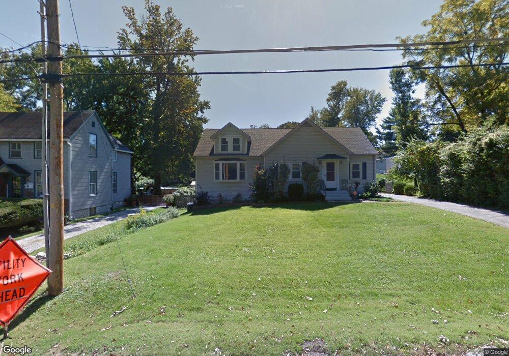
652 Bismark Ave Saint Louis, MO 63119
Estimated Value: $528,970 - $647,000
3
Beds
1
Bath
2,235
Sq Ft
$269/Sq Ft
Est. Value
About This Home
This home is located at 652 Bismark Ave, Saint Louis, MO 63119 and is currently estimated at $601,993, approximately $269 per square foot. 652 Bismark Ave is a home located in St. Louis County with nearby schools including Bristol Elementary School, Hixson Middle School, and Webster Groves High School.
Ownership History
Date
Name
Owned For
Owner Type
Purchase Details
Closed on
Mar 11, 1998
Sold by
Swabby Jeffrey B and Swabby Tracy
Bought by
Swabby Jeffrey B and Swabby Tracey
Current Estimated Value
Home Financials for this Owner
Home Financials are based on the most recent Mortgage that was taken out on this home.
Original Mortgage
$80,000
Interest Rate
7.12%
Create a Home Valuation Report for This Property
The Home Valuation Report is an in-depth analysis detailing your home's value as well as a comparison with similar homes in the area
Home Values in the Area
Average Home Value in this Area
Purchase History
| Date | Buyer | Sale Price | Title Company |
|---|---|---|---|
| Swabby Jeffrey B | -- | -- |
Source: Public Records
Mortgage History
| Date | Status | Borrower | Loan Amount |
|---|---|---|---|
| Closed | Swabby Jeffrey B | $80,000 |
Source: Public Records
Tax History Compared to Growth
Tax History
| Year | Tax Paid | Tax Assessment Tax Assessment Total Assessment is a certain percentage of the fair market value that is determined by local assessors to be the total taxable value of land and additions on the property. | Land | Improvement |
|---|---|---|---|---|
| 2025 | $5,588 | $91,240 | $60,800 | $30,440 |
| 2024 | $5,588 | $80,340 | $50,640 | $29,700 |
| 2023 | $5,561 | $80,340 | $50,640 | $29,700 |
| 2022 | $4,850 | $65,000 | $36,480 | $28,520 |
| 2021 | $4,834 | $65,000 | $36,480 | $28,520 |
| 2020 | $4,301 | $53,810 | $34,920 | $18,890 |
| 2019 | $4,270 | $53,810 | $34,920 | $18,890 |
| 2018 | $4,239 | $47,440 | $27,340 | $20,100 |
| 2017 | $4,210 | $47,440 | $27,340 | $20,100 |
| 2016 | $3,577 | $38,520 | $19,670 | $18,850 |
| 2015 | $3,589 | $38,520 | $19,670 | $18,850 |
| 2014 | $4,067 | $42,510 | $16,250 | $26,260 |
Source: Public Records
Map
Nearby Homes
- 529 Cyril Dr
- 827 Yosemite Dr
- 9721 Greenwood Terrace
- 541 W Kirkham Ave
- 336 Madison Ave
- 426 W Kirkham Ave
- 404 W Kirkham Ave
- 330 Lithia Ave
- 218 Euclid Ave
- 1048 Martha Ln
- 1146 Kortwright Ave
- 1025 Glenmoor Ln
- 65 Ridge Line Dr
- 2918 Wingate Ct
- 9714 Whitestone Terrace
- 1119 Gilbert Ave
- 9840 Oak Haven Ave
- 9839 Warson Pointe Dr
- 9844 Oak Haven Ave
- 987 Dwyer Ave
- 646 Bismark Ave
- 436 Barron Ln
- 432 Barron Ln
- 426 Barron Ln
- 649 Bismark Ave
- 647 Bismark Ave
- 620 Bismark Ave
- 422 Barron Ln
- 701 Bismark Ave Unit 12
- 701 Bismark Ave
- 645 Bismark Ave
- 416 Barron Ln
- 502 Leonard Ave
- 612 Bismark Ave
- 612 Bismark Uc Ave
- 437 Barron Ln
- 431 Barron Ln
- 503 Leonard Ave
- 501 Hinsdale Ct
- 427 Barron Ln