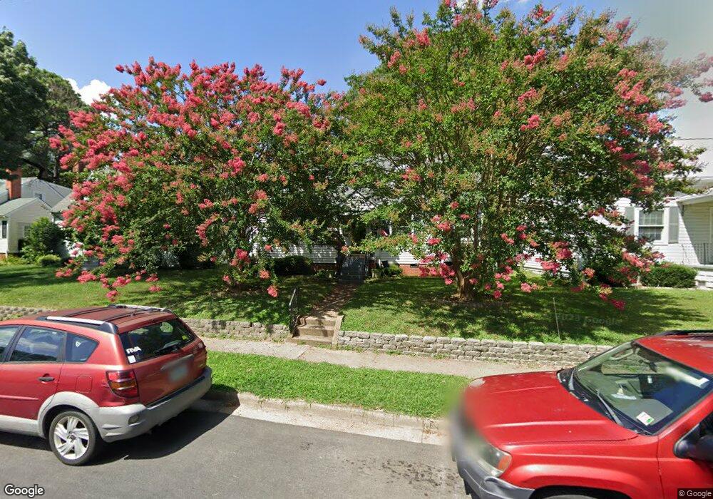
6522 Kensington Ave Richmond, VA 23226
Near West End NeighborhoodEstimated Value: $496,000 - $548,000
4
Beds
2
Baths
1,422
Sq Ft
$368/Sq Ft
Est. Value
About This Home
This home is located at 6522 Kensington Ave, Richmond, VA 23226 and is currently estimated at $523,314, approximately $368 per square foot. 6522 Kensington Ave is a home located in Richmond City with nearby schools including Mary Munford Elementary School, Albert Hill Middle, and Thomas Jefferson High School.
Ownership History
Date
Name
Owned For
Owner Type
Purchase Details
Closed on
Mar 31, 2000
Sold by
Mackey Paula S
Bought by
Casstevens Ellen C
Current Estimated Value
Home Financials for this Owner
Home Financials are based on the most recent Mortgage that was taken out on this home.
Original Mortgage
$107,413
Outstanding Balance
$37,249
Interest Rate
8.4%
Mortgage Type
FHA
Estimated Equity
$486,065
Create a Home Valuation Report for This Property
The Home Valuation Report is an in-depth analysis detailing your home's value as well as a comparison with similar homes in the area
Home Values in the Area
Average Home Value in this Area
Purchase History
| Date | Buyer | Sale Price | Title Company |
|---|---|---|---|
| Casstevens Ellen C | $107,500 | -- |
Source: Public Records
Mortgage History
| Date | Status | Borrower | Loan Amount |
|---|---|---|---|
| Open | Casstevens Ellen C | $107,413 |
Source: Public Records
Tax History Compared to Growth
Tax History
| Year | Tax Paid | Tax Assessment Tax Assessment Total Assessment is a certain percentage of the fair market value that is determined by local assessors to be the total taxable value of land and additions on the property. | Land | Improvement |
|---|---|---|---|---|
| 2025 | $4,080 | $340,000 | $125,000 | $215,000 |
| 2024 | $3,900 | $325,000 | $116,000 | $209,000 |
| 2023 | $3,660 | $305,000 | $106,000 | $199,000 |
| 2022 | $3,300 | $275,000 | $106,000 | $169,000 |
| 2021 | $2,880 | $252,000 | $88,000 | $164,000 |
| 2020 | $2,880 | $240,000 | $88,000 | $152,000 |
| 2019 | $2,712 | $226,000 | $88,000 | $138,000 |
| 2018 | $2,472 | $206,000 | $70,000 | $136,000 |
| 2017 | $2,376 | $198,000 | $70,000 | $128,000 |
| 2016 | $2,340 | $195,000 | $70,000 | $125,000 |
| 2015 | $2,280 | $190,000 | $70,000 | $120,000 |
| 2014 | $2,280 | $190,000 | $70,000 | $120,000 |
Source: Public Records
Map
Nearby Homes
- 901 Bevridge Rd
- 6512 Dustin Dr
- 6728 Hanover Ave
- 6511 Wessex Ln
- 1008 Bevridge Rd
- 706 Tiber Ln
- 1007 Orchard Rd
- 6614 W Franklin St
- 6229 W Franklin St
- 6221 Dustin Dr
- 6608 W Grace St
- 6424 W Grace St
- 6500 W Grace St
- 6213 Monument Ave
- 1011 Horsepen Rd
- 31 Towana Rd
- 6423 Millhiser Ave
- 6900 Dartmouth Ave
- 7303 Parkline Dr
- 6401 Millhiser Ave
- 6520 Kensington Ave
- 6524 Kensington Ave
- 6526 Kensington Ave
- 6516 Kensington Ave
- 6528 Kensington Ave
- 6523 Patterson Ave
- 6521 Patterson Ave
- 6525 Patterson Ave
- 6519 Patterson Ave
- 6514 Kensington Ave
- 6530 Kensington Ave
- 6525 Patterson Ave
- 6525 Kensington Ave
- 6517 Patterson Ave
- 6527 Kensington Ave
- 6521 Kensington Ave
- 6512 Kensington Ave
- 6519 Kensington Ave
- 6529 Patterson Ave
- 6515 Patterson Ave