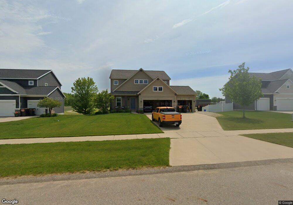
6522 Maria Dr Hudsonville, MI 49426
Estimated Value: $483,517 - $577,000
4
Beds
4
Baths
2,064
Sq Ft
$262/Sq Ft
Est. Value
About This Home
This home is located at 6522 Maria Dr, Hudsonville, MI 49426 and is currently estimated at $541,129, approximately $262 per square foot. 6522 Maria Dr is a home with nearby schools including Baldwin Street Middle School, Hudsonville Freshman Campus, and Hudsonville High School.
Ownership History
Date
Name
Owned For
Owner Type
Purchase Details
Closed on
Nov 14, 2020
Sold by
Wolf Robert and Wolf Stephanie
Bought by
Wolf Robert and Wolf Stephanie
Current Estimated Value
Purchase Details
Closed on
Jul 28, 2017
Sold by
Djlk Llc
Bought by
Wolf Robert and Wolf Stephanie
Home Financials for this Owner
Home Financials are based on the most recent Mortgage that was taken out on this home.
Original Mortgage
$226,044
Outstanding Balance
$188,361
Interest Rate
3.91%
Mortgage Type
Future Advance Clause Open End Mortgage
Estimated Equity
$352,768
Create a Home Valuation Report for This Property
The Home Valuation Report is an in-depth analysis detailing your home's value as well as a comparison with similar homes in the area
Home Values in the Area
Average Home Value in this Area
Purchase History
| Date | Buyer | Sale Price | Title Company |
|---|---|---|---|
| Wolf Robert | -- | None Available | |
| Wolf Robert | $69,900 | Lighthouse Title Inc |
Source: Public Records
Mortgage History
| Date | Status | Borrower | Loan Amount |
|---|---|---|---|
| Open | Wolf Robert | $226,044 |
Source: Public Records
Tax History Compared to Growth
Tax History
| Year | Tax Paid | Tax Assessment Tax Assessment Total Assessment is a certain percentage of the fair market value that is determined by local assessors to be the total taxable value of land and additions on the property. | Land | Improvement |
|---|---|---|---|---|
| 2025 | $4,889 | $208,800 | $0 | $0 |
| 2024 | $4,231 | $190,500 | $0 | $0 |
| 2023 | $4,041 | $176,800 | $0 | $0 |
| 2022 | $4,440 | $163,200 | $0 | $0 |
| 2021 | $4,271 | $155,200 | $0 | $0 |
| 2020 | $4,226 | $151,200 | $0 | $0 |
| 2019 | $4,305 | $150,900 | $0 | $0 |
| 2018 | $4,151 | $151,700 | $0 | $0 |
| 2017 | $0 | $0 | $0 | $0 |
Source: Public Records
Map
Nearby Homes
- 3808 Port Sheldon St
- 3544 Nobb Hill Dr
- 4106 Blair St
- 4101 Blair St
- 6950 Meadowcreek Dr
- V/L Port Sheldon St
- 3204 Port Sheldon St
- 6821 Bridgeport Dr
- 3528 Tearose Dr
- 6863 Bridgeport Dr
- 2969 Osprey Dr Unit 27
- 5744 36th Ave
- 3617 Teton Dr
- 7318 Alycia Dr
- 5640 Lawndale Ave
- 6760 N Wentward Ct
- 2921 N Wentward Ct
- 3550 Oak St
- 6722 N Wentward Ct Unit 77
- 5570 Marlin Ave