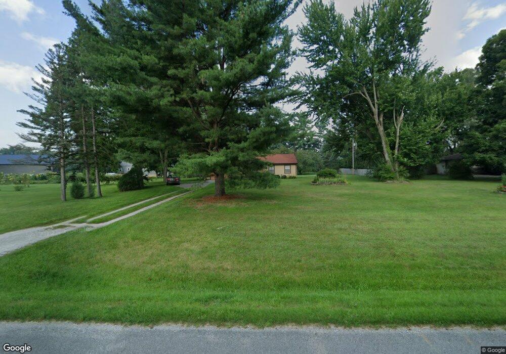
65246 M 66 Sturgis, MI 49091
Estimated Value: $180,242 - $263,000
--
Bed
--
Bath
1,488
Sq Ft
$154/Sq Ft
Est. Value
About This Home
This home is located at 65246 M 66, Sturgis, MI 49091 and is currently estimated at $228,811, approximately $153 per square foot. 65246 M 66 is a home located in St. Joseph County with nearby schools including Sturgis High School, Lake Area Christian School, and St John's Lutheran School.
Ownership History
Date
Name
Owned For
Owner Type
Purchase Details
Closed on
Dec 19, 2023
Sold by
Brubaker John D
Bought by
Brubaker Justin G and Stears Gabriel J
Current Estimated Value
Purchase Details
Closed on
Sep 5, 2014
Sold by
Hopkins Mary K and Hopkins Lyle B
Bought by
Brubaker John D
Home Financials for this Owner
Home Financials are based on the most recent Mortgage that was taken out on this home.
Original Mortgage
$60,570
Interest Rate
4.11%
Mortgage Type
New Conventional
Create a Home Valuation Report for This Property
The Home Valuation Report is an in-depth analysis detailing your home's value as well as a comparison with similar homes in the area
Home Values in the Area
Average Home Value in this Area
Purchase History
| Date | Buyer | Sale Price | Title Company |
|---|---|---|---|
| Brubaker Justin G | -- | None Listed On Document | |
| Brubaker John D | $67,300 | Patrick Abstract & Title Off |
Source: Public Records
Mortgage History
| Date | Status | Borrower | Loan Amount |
|---|---|---|---|
| Previous Owner | Brubaker John D | $60,570 |
Source: Public Records
Tax History Compared to Growth
Tax History
| Year | Tax Paid | Tax Assessment Tax Assessment Total Assessment is a certain percentage of the fair market value that is determined by local assessors to be the total taxable value of land and additions on the property. | Land | Improvement |
|---|---|---|---|---|
| 2025 | $1,454 | $73,100 | $8,300 | $64,800 |
| 2024 | $497 | $72,700 | $7,100 | $65,600 |
| 2023 | $473 | $63,300 | $4,400 | $58,900 |
| 2022 | $0 | $50,500 | $4,000 | $46,500 |
| 2021 | $844 | $44,300 | $3,800 | $40,500 |
| 2020 | $431 | $41,000 | $3,200 | $37,800 |
| 2019 | $423 | $40,300 | $3,200 | $37,100 |
| 2018 | $1,095 | $39,200 | $3,200 | $36,000 |
| 2017 | $1,108 | $39,800 | $39,800 | $0 |
| 2016 | -- | $38,300 | $38,300 | $0 |
| 2015 | -- | $38,600 | $0 | $0 |
| 2014 | -- | $40,700 | $40,700 | $0 |
| 2012 | -- | $38,700 | $38,700 | $0 |
Source: Public Records
Map
Nearby Homes
- 27810 Maystead Rd
- V/L White Pine Dr
- 28195 Blackberry Ln
- 66223 Grey Lake Rd
- 66109 Hideaway Ln
- 27304 Oak Dr
- 28123 Timberly Dr
- 0 V L M66- 102+ - Unit 24045986
- 708 N Centerville Rd
- 1100 Sherwood Forrest Trail
- V/L Banker St
- 814 N Lakeview Ave
- 612 N Prospect St
- 610 N Prospect St
- 609 Sturgis St
- 607 George St
- 805 N Nottawa St
- 502 E Jerolene St
- 418 Center Ave
- 602 Jean Ave