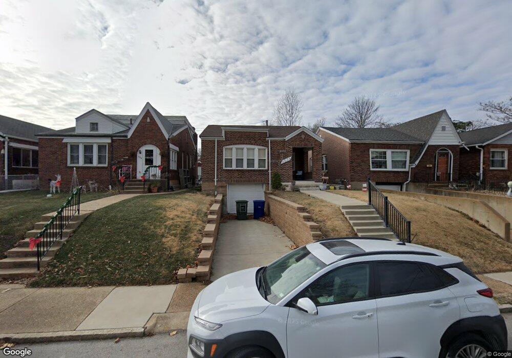
6528 Dale Ave Saint Louis, MO 63139
Franz Park NeighborhoodEstimated Value: $158,247 - $232,000
--
Bed
1
Bath
1,898
Sq Ft
$109/Sq Ft
Est. Value
About This Home
This home is located at 6528 Dale Ave, Saint Louis, MO 63139 and is currently estimated at $206,812, approximately $108 per square foot. 6528 Dale Ave is a home located in St. Louis City with nearby schools including Mason Elementary School, Long International Middle School, and Roosevelt High School.
Ownership History
Date
Name
Owned For
Owner Type
Purchase Details
Closed on
Feb 13, 2004
Sold by
Malliotakis Mike and Moriarty Jane
Bought by
Moriarty Dennis and Moriarty Jane
Current Estimated Value
Home Financials for this Owner
Home Financials are based on the most recent Mortgage that was taken out on this home.
Original Mortgage
$63,000
Interest Rate
5.71%
Mortgage Type
Stand Alone Refi Refinance Of Original Loan
Create a Home Valuation Report for This Property
The Home Valuation Report is an in-depth analysis detailing your home's value as well as a comparison with similar homes in the area
Home Values in the Area
Average Home Value in this Area
Purchase History
| Date | Buyer | Sale Price | Title Company |
|---|---|---|---|
| Moriarty Dennis | -- | -- |
Source: Public Records
Mortgage History
| Date | Status | Borrower | Loan Amount |
|---|---|---|---|
| Closed | Moriarty Dennis | $63,000 |
Source: Public Records
Tax History Compared to Growth
Tax History
| Year | Tax Paid | Tax Assessment Tax Assessment Total Assessment is a certain percentage of the fair market value that is determined by local assessors to be the total taxable value of land and additions on the property. | Land | Improvement |
|---|---|---|---|---|
| 2025 | $2,267 | $32,220 | $1,880 | $30,340 |
| 2024 | $2,157 | $26,750 | $1,880 | $24,870 |
| 2023 | $2,157 | $26,750 | $1,880 | $24,870 |
| 2022 | $2,002 | $23,880 | $1,880 | $22,000 |
| 2021 | $1,999 | $23,880 | $1,880 | $22,000 |
| 2020 | $1,899 | $22,840 | $1,880 | $20,960 |
| 2019 | $1,892 | $22,840 | $1,880 | $20,960 |
| 2018 | $1,665 | $19,440 | $1,880 | $17,560 |
| 2017 | $1,637 | $19,440 | $1,880 | $17,560 |
| 2016 | $1,465 | $17,140 | $1,880 | $15,260 |
| 2015 | $1,329 | $17,140 | $1,880 | $15,260 |
| 2014 | $1,328 | $17,140 | $1,880 | $15,260 |
| 2013 | -- | $17,140 | $1,880 | $15,260 |
Source: Public Records
Map
Nearby Homes
- 1511 Fairmount Ave
- 1371 Mobile Ct
- 1361 Louisville Ave
- 1597 Fairmount Ave
- 6437 Brockschmidt Place
- 6454 Wade Ave
- 1348 Kraft St
- 6750 Plateau Ave
- 6819 Clyde Terrace
- 6719 Nashville Ave
- 1225 Kraft St
- 1320 Tamm Ave
- 2020 Prather Ave
- 2036 Prather Ave
- 6827 R Dale Ave
- 6614 Clayton Ave
- 1617 Forest Ave
- 1623 Forest Ave
- 1625 Forest Ave
- 1326 Graham St
- 6532 Dale Ave
- 6524 Dale Ave
- 6536 Dale Ave
- 6520 Dale Ave
- 1511 Sanford Ave
- 6540 Dale Ave
- 1514 Louisville Ave
- 1518 Louisville Ave
- 6514 Dale Ave
- 1515 Sanford Ave
- 6523 Dale Ave
- 6531 Dale Ave
- 6527 Dale Ave
- 6535 Dale Ave
- 1519 Sanford Ave
- 1520 Louisville Ave
- 6539 Dale Ave
- 6548 Dale Ave
- 6500 Dale Ave
- 6495 Lloyd Ave