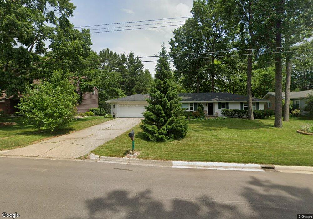
6545 Trotwood St Portage, MI 49024
Estimated Value: $296,110 - $334,000
4
Beds
2
Baths
1,850
Sq Ft
$170/Sq Ft
Est. Value
About This Home
This home is located at 6545 Trotwood St, Portage, MI 49024 and is currently estimated at $314,278, approximately $169 per square foot. 6545 Trotwood St is a home located in Kalamazoo County with nearby schools including Amberly Elementary School, Portage West Middle School, and Portage Northern High School.
Ownership History
Date
Name
Owned For
Owner Type
Purchase Details
Closed on
Aug 3, 2011
Sold by
Ries Karin C
Bought by
Ries Martin E
Current Estimated Value
Purchase Details
Closed on
Mar 14, 2008
Sold by
Brunt Ronald T and Brunt Joy L
Bought by
Ries Karin C
Home Financials for this Owner
Home Financials are based on the most recent Mortgage that was taken out on this home.
Original Mortgage
$128,250
Interest Rate
5.74%
Mortgage Type
Purchase Money Mortgage
Create a Home Valuation Report for This Property
The Home Valuation Report is an in-depth analysis detailing your home's value as well as a comparison with similar homes in the area
Home Values in the Area
Average Home Value in this Area
Purchase History
| Date | Buyer | Sale Price | Title Company |
|---|---|---|---|
| Ries Martin E | -- | None Available | |
| Ries Karin C | $1,350,000 | Chicago Title |
Source: Public Records
Mortgage History
| Date | Status | Borrower | Loan Amount |
|---|---|---|---|
| Previous Owner | Ries Karin C | $128,250 |
Source: Public Records
Tax History Compared to Growth
Tax History
| Year | Tax Paid | Tax Assessment Tax Assessment Total Assessment is a certain percentage of the fair market value that is determined by local assessors to be the total taxable value of land and additions on the property. | Land | Improvement |
|---|---|---|---|---|
| 2025 | $4,148 | $131,100 | $0 | $0 |
| 2024 | $3,651 | $122,200 | $0 | $0 |
| 2023 | $3,481 | $108,300 | $0 | $0 |
| 2022 | $3,761 | $104,000 | $0 | $0 |
| 2021 | $3,635 | $102,500 | $0 | $0 |
| 2020 | $3,556 | $96,000 | $0 | $0 |
| 2019 | $320 | $88,200 | $0 | $0 |
| 2018 | $0 | $88,300 | $0 | $0 |
| 2017 | $0 | $85,100 | $0 | $0 |
| 2016 | -- | $82,700 | $0 | $0 |
| 2015 | -- | $78,400 | $0 | $0 |
| 2014 | -- | $74,600 | $0 | $0 |
Source: Public Records
Map
Nearby Homes
- 6636 Trotwood St
- 6439 Cypress St
- 6748 Trotwood St
- 2029 Brighton Ln Unit 7
- 1998 Brighton Ln Unit 16
- 1922 Brighton Ln Unit 31
- 2408 Kalarama Ave
- 6745 Oakland Dr
- 2801 Daventry Ave
- 2604 Radcliffe Ave
- 6235 Oakland Dr
- 6803 Bluegrass St
- 6740 Amberly St
- 3034 Tattersall Rd
- 6803 Fescue St
- 6605 Rothbury St
- 6238 Hampton St
- 6290 Liteolier St
- 6514 Marlow St
- 1710 Greenview Ave
- 6605 Trotwood St
- 6546 Westshire St
- 6538 Westshire St
- 6606 Westshire St
- 6615 Trotwood St
- 6527 Trotwood St
- 6538 Trotwood St
- 6528 Westshire St
- 6606 Trotwood St
- 6616 Westshire St
- 6528 Trotwood St
- 6623 Trotwood St
- 6519 Trotwood St
- 6616 Trotwood St
- 6520 Westshire St
- 6624 Westshire St
- 2401 Tattersall Rd
- 6624 Trotwood St
- 6545 Westshire St
- 6545 Evergreen St