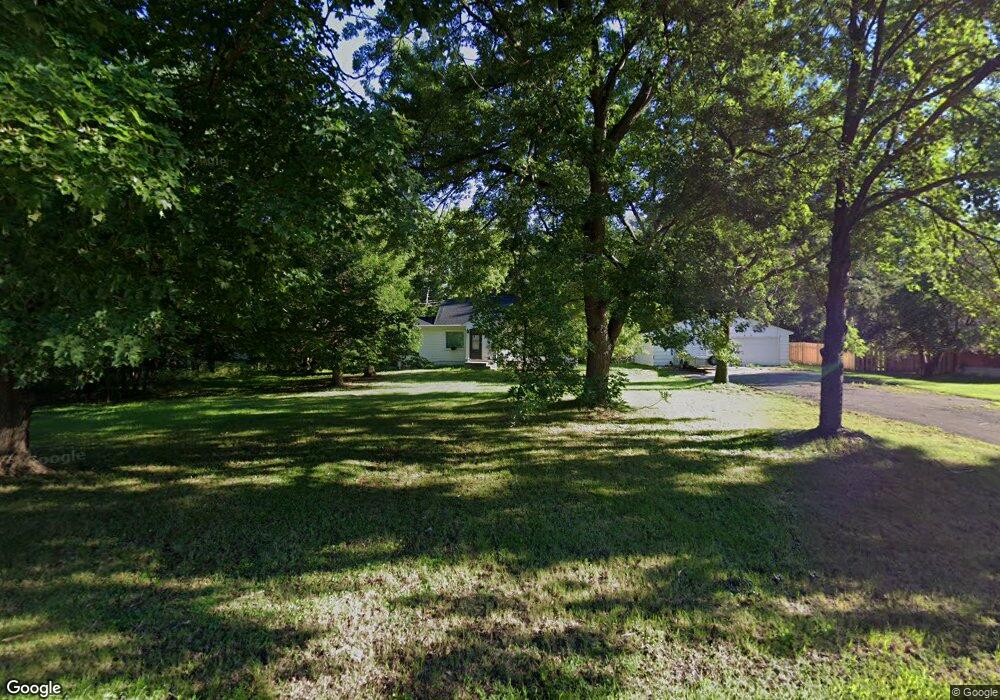
655 Stockdale Rd Saint Paul, MN 55127
Estimated Value: $241,000 - $295,491
2
Beds
1
Bath
1,044
Sq Ft
$254/Sq Ft
Est. Value
About This Home
This home is located at 655 Stockdale Rd, Saint Paul, MN 55127 and is currently estimated at $265,623, approximately $254 per square foot. 655 Stockdale Rd is a home located in Ramsey County with nearby schools including Vadnais Heights Elementary School, Sunrise Park Middle School, and AFSA High School.
Ownership History
Date
Name
Owned For
Owner Type
Purchase Details
Closed on
May 29, 2019
Sold by
Gores Ed and Gores Debra K
Bought by
Gores Anthony J
Current Estimated Value
Home Financials for this Owner
Home Financials are based on the most recent Mortgage that was taken out on this home.
Original Mortgage
$85,000
Outstanding Balance
$55,770
Interest Rate
4.1%
Mortgage Type
New Conventional
Estimated Equity
$209,853
Purchase Details
Closed on
Sep 1, 1999
Sold by
Hud
Bought by
Her Mona and Vue Steve
Create a Home Valuation Report for This Property
The Home Valuation Report is an in-depth analysis detailing your home's value as well as a comparison with similar homes in the area
Home Values in the Area
Average Home Value in this Area
Purchase History
| Date | Buyer | Sale Price | Title Company |
|---|---|---|---|
| Gores Anthony J | $110,000 | Liberty Title Inc | |
| Her Mona | $80,100 | -- |
Source: Public Records
Mortgage History
| Date | Status | Borrower | Loan Amount |
|---|---|---|---|
| Open | Gores Anthony J | $85,000 |
Source: Public Records
Tax History Compared to Growth
Tax History
| Year | Tax Paid | Tax Assessment Tax Assessment Total Assessment is a certain percentage of the fair market value that is determined by local assessors to be the total taxable value of land and additions on the property. | Land | Improvement |
|---|---|---|---|---|
| 2025 | $4,348 | $291,500 | $105,900 | $185,600 |
| 2023 | $4,348 | $261,600 | $105,900 | $155,700 |
| 2022 | $2,792 | $249,100 | $105,900 | $143,200 |
| 2021 | $2,400 | $209,800 | $105,900 | $103,900 |
| 2020 | $2,260 | $194,600 | $87,400 | $107,200 |
| 2019 | $1,726 | $173,400 | $87,200 | $86,200 |
| 2018 | $2,156 | $146,400 | $87,200 | $59,200 |
| 2017 | $3,012 | $134,800 | $87,200 | $47,600 |
| 2016 | $3,030 | $0 | $0 | $0 |
| 2015 | $2,034 | $116,100 | $87,200 | $28,900 |
| 2014 | $2,816 | $0 | $0 | $0 |
Source: Public Records
Map
Nearby Homes
- 3857 Stockdale Dr
- 3770 Edgerton St
- 449 Bear Ct
- 3611 Edgerton St
- 3736 Centerville Rd
- 383 Tessier Cir
- 565 Oak Creek Dr S
- 421 Oak Creek Ct
- 4085 Isaac Ct
- 4087 Isaac Ct
- 3693 Oak Creek Dr W
- 3608 Oak Creek Terrace
- 4136 Thornhill Ln
- 4174 Oakcrest Dr
- 1020 Horizon St
- 4252 Heritage Dr
- 4232 Bridgewood Terrace
- 731 Berwood Ave
- 4185 Centerville Rd
- 4363 Bramblewood Ave
- 3866 Clover Ave
- 3866 3866 Clover Ave
- 673 Stockdale Rd
- 7XX Stockdale Rd
- 3868 Clover Ave
- 387X Clover Ave
- 670 670 Stockdale-Road-
- 670 670 Stockdale Rd
- 670 Stockdale Rd
- 679 679 Stockdale Rd
- 679 Stockdale Rd
- 3870 Clover Ave
- 660 Stockdale Rd
- 3865 Elmwood St
- 3863 Clover Ave
- 3863 3863 Clover Ave
- 3834 Parkwood Ln
- 38YY Clover Ave
- 38xx Clover
- 38XX Clover Ave