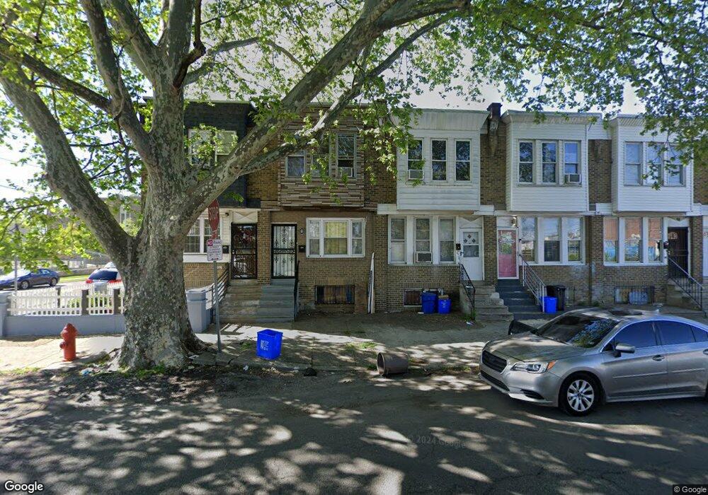
6551 Kingsessing Ave Philadelphia, PA 19142
Paschall NeighborhoodEstimated Value: $110,000 - $138,000
3
Beds
1
Bath
1,092
Sq Ft
$118/Sq Ft
Est. Value
About This Home
This home is located at 6551 Kingsessing Ave, Philadelphia, PA 19142 and is currently estimated at $128,424, approximately $117 per square foot. 6551 Kingsessing Ave is a home located in Philadelphia County with nearby schools including Joseph W. Catharine School, Tilden Middle School, and John Bartram High School.
Ownership History
Date
Name
Owned For
Owner Type
Purchase Details
Closed on
Mar 11, 2020
Sold by
Nguyen Vu Pham Thuy
Bought by
March Srey
Current Estimated Value
Purchase Details
Closed on
Dec 8, 2009
Sold by
Le Hung Huu
Bought by
Nguyen Quoc and Nguyen Vu Pham Thuy
Purchase Details
Closed on
Jan 23, 2004
Sold by
Le Thomas
Bought by
Le Hung H
Purchase Details
Closed on
Jul 1, 1994
Sold by
Le Hein Q
Bought by
Le Thomas
Create a Home Valuation Report for This Property
The Home Valuation Report is an in-depth analysis detailing your home's value as well as a comparison with similar homes in the area
Home Values in the Area
Average Home Value in this Area
Purchase History
| Date | Buyer | Sale Price | Title Company |
|---|---|---|---|
| March Srey | $35,000 | City Abstract Llc | |
| Nguyen Quoc | $20,000 | None Available | |
| Le Hung H | -- | -- | |
| Le Thomas | $20,000 | -- |
Source: Public Records
Tax History Compared to Growth
Tax History
| Year | Tax Paid | Tax Assessment Tax Assessment Total Assessment is a certain percentage of the fair market value that is determined by local assessors to be the total taxable value of land and additions on the property. | Land | Improvement |
|---|---|---|---|---|
| 2025 | $1,044 | $98,400 | $19,680 | $78,720 |
| 2024 | $1,044 | $98,400 | $19,680 | $78,720 |
| 2023 | $1,044 | $74,600 | $14,900 | $59,700 |
| 2022 | $1,048 | $74,600 | $14,900 | $59,700 |
| 2021 | $1,048 | $0 | $0 | $0 |
| 2020 | $1,048 | $0 | $0 | $0 |
| 2019 | $967 | $0 | $0 | $0 |
| 2018 | $813 | $0 | $0 | $0 |
| 2017 | $813 | $0 | $0 | $0 |
| 2016 | $813 | $0 | $0 | $0 |
| 2015 | -- | $0 | $0 | $0 |
| 2014 | -- | $58,100 | $4,315 | $53,785 |
| 2012 | -- | $7,872 | $1,358 | $6,514 |
Source: Public Records
Map
Nearby Homes
- 6549 Regent St
- 6520 Allman St
- 6514 Allman St
- 6508 Allman St
- 1918 S 65th St
- 2024 S 65th St
- 6348 Kingsessing Ave
- 1903 S 65th St
- 6543 Greenway Ave
- 2032 S 66th St
- 6447 Upland St
- 6310 Chester Ave
- 6310 Allman St
- 6517 Greenway Ave
- 6306 Regent St
- 2016 S Simpson St
- 1824 S 65th St
- 2109 S 66th St
- 2001 S Avondale St
- 2030 S 67th St
- 6549 Kingsessing Ave
- 6553 Kingsessing Ave
- 6547 Kingsessing Ave
- 6541 Kingsessing Ave
- 6548 Regent St
- 6552 Regent St
- 6546 Regent St
- 6539 Kingsessing Ave
- 6544 Regent St
- 6542 Regent St
- 6540 Regent St
- 6537 Kingsessing Ave
- 6535 Kingsessing Ave
- 6538 Regent St
- 6536 Regent St
- 6533 Kingsessing Ave
- 6531 Kingsessing Ave
- 6532 Regent St
- 6529 Kingsessing Ave
- 6530 Regent St