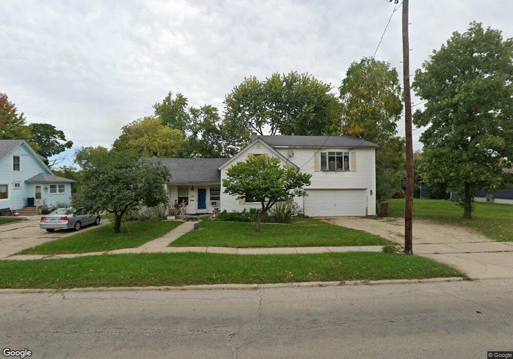
656 Washington St Woodstock, IL 60098
Estimated Value: $214,730 - $291,000
3
Beds
1
Bath
1,672
Sq Ft
$147/Sq Ft
Est. Value
About This Home
This home is located at 656 Washington St, Woodstock, IL 60098 and is currently estimated at $245,933, approximately $147 per square foot. 656 Washington St is a home located in McHenry County with nearby schools including Westwood Elementary School, Creekside Middle School, and Woodstock High School.
Ownership History
Date
Name
Owned For
Owner Type
Purchase Details
Closed on
Aug 1, 2022
Sold by
Steven R Freund Trust
Bought by
Steven R Freund Trust
Current Estimated Value
Purchase Details
Closed on
Mar 27, 2006
Sold by
Austin Allen E and Austin Mary E
Bought by
Kozlak Benjamin J
Home Financials for this Owner
Home Financials are based on the most recent Mortgage that was taken out on this home.
Original Mortgage
$141,550
Interest Rate
6.37%
Mortgage Type
Fannie Mae Freddie Mac
Create a Home Valuation Report for This Property
The Home Valuation Report is an in-depth analysis detailing your home's value as well as a comparison with similar homes in the area
Home Values in the Area
Average Home Value in this Area
Purchase History
| Date | Buyer | Sale Price | Title Company |
|---|---|---|---|
| Steven R Freund Trust | -- | -- | |
| Kozlak Benjamin J | $149,000 | Ticor Title |
Source: Public Records
Mortgage History
| Date | Status | Borrower | Loan Amount |
|---|---|---|---|
| Previous Owner | Kozlak Benjamin J | $141,550 |
Source: Public Records
Tax History Compared to Growth
Tax History
| Year | Tax Paid | Tax Assessment Tax Assessment Total Assessment is a certain percentage of the fair market value that is determined by local assessors to be the total taxable value of land and additions on the property. | Land | Improvement |
|---|---|---|---|---|
| 2024 | $3,549 | $46,524 | $5,983 | $40,541 |
| 2023 | $3,333 | $42,073 | $5,411 | $36,662 |
| 2022 | $2,526 | $30,499 | $4,802 | $25,697 |
| 2021 | $2,374 | $28,496 | $4,487 | $24,009 |
| 2020 | $2,265 | $27,078 | $4,264 | $22,814 |
| 2019 | $2,177 | $25,847 | $4,070 | $21,777 |
| 2018 | $2,933 | $32,315 | $4,643 | $27,672 |
| 2017 | $2,855 | $30,414 | $4,370 | $26,044 |
| 2016 | $2,797 | $28,161 | $4,046 | $24,115 |
| 2013 | -- | $45,481 | $11,906 | $33,575 |
Source: Public Records
Map
Nearby Homes
- 514 Washington St
- 233 Arthur Dr
- 824 Washington St
- 431 Washington St
- 740 Victoria Dr
- 320 W Donovan Ave
- 920 Pleasant St
- 0 Rt 47 & Lucas Rd Unit MRD12293021
- 724 Wheeler St
- 389 Lincoln Ave
- 814 Robert Dr
- 4224 Meadowridge Rd
- 4265 Meadowridge Rd
- 4240 Meadowridge Rd
- 4104 Meadowridge Rd
- 1301 Longwood Dr E
- 0 Rt 47 & Hercules Rd Hwy Unit MRD12103853
- 327 Lincoln Ave
- 208 W Greenwood Ave
- 13808 Washington St
- 660 Washington St
- 644 Washington St
- 670 Washington St
- 638 Washington St
- 655 Washington St
- 651 Washington St
- 647 Washington St
- 672 Washington St
- 701 Washington St
- 641 Washington St
- 669 Washington St
- 703 Washington St
- 629 Washington St
- 705 Washington St
- 658 Pleasant St
- 648 Pleasant St
- 621 Washington St
- 640 Pleasant St
- 713 Washington St Unit 713
- 709 Washington St Unit 713