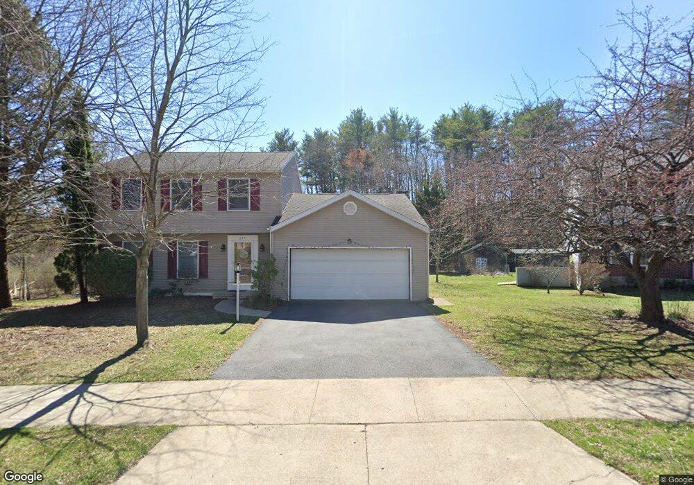
657 Berkshire Dr State College, PA 16803
Estimated Value: $217,000 - $468,000
3
Beds
3
Baths
2,471
Sq Ft
$154/Sq Ft
Est. Value
About This Home
This home is located at 657 Berkshire Dr, State College, PA 16803 and is currently estimated at $379,533, approximately $153 per square foot. 657 Berkshire Dr is a home located in Centre County with nearby schools including Radio Park Elementary School, Park Forest Middle School, and State College Area High School.
Ownership History
Date
Name
Owned For
Owner Type
Purchase Details
Closed on
Jan 28, 2025
Sold by
Swartz Susan Ellen and Swartz Aaron Timothy
Bought by
Swartz Aaron and Sarmento Joe
Current Estimated Value
Home Financials for this Owner
Home Financials are based on the most recent Mortgage that was taken out on this home.
Original Mortgage
$260,000
Outstanding Balance
$258,437
Interest Rate
6.85%
Mortgage Type
New Conventional
Estimated Equity
$121,096
Purchase Details
Closed on
Aug 27, 2003
Bought by
Swartz Susan E and Swartz Swartz
Create a Home Valuation Report for This Property
The Home Valuation Report is an in-depth analysis detailing your home's value as well as a comparison with similar homes in the area
Home Values in the Area
Average Home Value in this Area
Purchase History
| Date | Buyer | Sale Price | Title Company |
|---|---|---|---|
| Swartz Aaron | -- | None Listed On Document | |
| Swartz Susan E | $179,000 | -- |
Source: Public Records
Mortgage History
| Date | Status | Borrower | Loan Amount |
|---|---|---|---|
| Open | Swartz Aaron | $260,000 |
Source: Public Records
Tax History Compared to Growth
Tax History
| Year | Tax Paid | Tax Assessment Tax Assessment Total Assessment is a certain percentage of the fair market value that is determined by local assessors to be the total taxable value of land and additions on the property. | Land | Improvement |
|---|---|---|---|---|
| 2025 | $4,736 | $76,465 | $13,755 | $62,710 |
| 2024 | $4,428 | $76,465 | $13,755 | $62,710 |
| 2023 | $4,428 | $76,465 | $13,755 | $62,710 |
| 2022 | $4,309 | $76,465 | $13,755 | $62,710 |
| 2021 | $4,309 | $76,465 | $13,755 | $62,710 |
| 2020 | $4,309 | $76,465 | $13,755 | $62,710 |
| 2019 | $3,607 | $76,465 | $13,755 | $62,710 |
| 2018 | $4,160 | $76,465 | $13,755 | $62,710 |
| 2017 | $4,109 | $76,465 | $13,755 | $62,710 |
| 2016 | -- | $76,465 | $13,755 | $62,710 |
| 2015 | -- | $76,465 | $13,755 | $62,710 |
| 2014 | -- | $76,465 | $13,755 | $62,710 |
Source: Public Records
Map
Nearby Homes
- 2251 Red Oak Ln
- 2292 Oak Leaf Dr
- 1765 Cambridge Dr
- 169 Sandy Ridge Rd
- 1635 Princeton Dr
- 291 Oakley Dr
- 479 Westgate Dr
- 1111-C W Aaron Dr
- 835 Galen Dr Unit 835
- 833 Galen Dr
- 1832 Waddle Rd
- 1383 N Allen St
- 505 Hillcrest Ave
- 1836 Waddle Rd
- 465 Hillcrest Ave
- 253 Bolton Ave
- 715 W Park Ave
- 936 Taylor St
- 861 Willard St
- 1457 Curtin St
- 659 Berkshire Dr
- 655 Berkshire Dr
- 661 Berkshire Dr
- 653 Berkshire Dr
- 650 Berkshire Dr
- 648 Berkshire Dr
- 651 Berkshire Dr
- 663 Berkshire Dr
- 652 Berkshire Dr
- 646 Berkshire Dr
- 102 Farmstead Ln
- 103 Westwood Cir
- 665 Berkshire Dr
- 644 Berkshire Dr
- 667 Berkshire Dr
- 100 Westwood Cir
- 105 Westwood Cir
- 642 Berkshire Dr
- 647 Berkshire Dr
- 104 Farmstead Ln