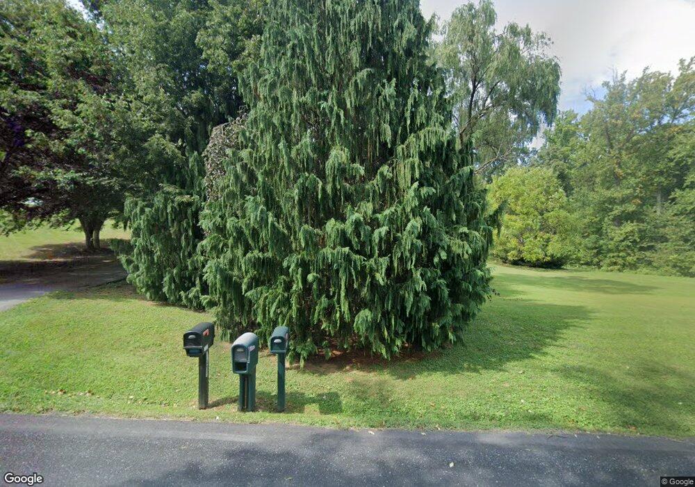
6570 Detrick Rd Mount Airy, MD 21771
Estimated Value: $1,135,000 - $1,232,303
--
Bed
1
Bath
4,010
Sq Ft
$295/Sq Ft
Est. Value
About This Home
This home is located at 6570 Detrick Rd, Mount Airy, MD 21771 and is currently estimated at $1,183,652, approximately $295 per square foot. 6570 Detrick Rd is a home with nearby schools including New Market Elementary School, New Market Middle School, and Linganore High School.
Ownership History
Date
Name
Owned For
Owner Type
Purchase Details
Closed on
Jul 13, 2012
Sold by
Miller Carl L and Miller Norma H
Bought by
Williamson Andrew and Williamson Andrea
Current Estimated Value
Purchase Details
Closed on
Sep 20, 1985
Sold by
Kimball Mary Grier and Kimball Roger N
Bought by
Miller Carl L and Miller Norma H
Home Financials for this Owner
Home Financials are based on the most recent Mortgage that was taken out on this home.
Original Mortgage
$610,000
Interest Rate
12.21%
Create a Home Valuation Report for This Property
The Home Valuation Report is an in-depth analysis detailing your home's value as well as a comparison with similar homes in the area
Home Values in the Area
Average Home Value in this Area
Purchase History
| Date | Buyer | Sale Price | Title Company |
|---|---|---|---|
| Williamson Andrew | $125,000 | None Available | |
| Miller Carl L | $760,000 | -- |
Source: Public Records
Mortgage History
| Date | Status | Borrower | Loan Amount |
|---|---|---|---|
| Previous Owner | Miller Carl L | $610,000 |
Source: Public Records
Tax History Compared to Growth
Tax History
| Year | Tax Paid | Tax Assessment Tax Assessment Total Assessment is a certain percentage of the fair market value that is determined by local assessors to be the total taxable value of land and additions on the property. | Land | Improvement |
|---|---|---|---|---|
| 2025 | $9,756 | $918,300 | -- | -- |
| 2024 | $9,756 | $874,300 | $147,100 | $727,200 |
| 2023 | $8,899 | $810,633 | $0 | $0 |
| 2022 | $8,453 | $746,967 | $0 | $0 |
| 2021 | $7,909 | $683,300 | $107,100 | $576,200 |
| 2020 | $7,909 | $673,433 | $0 | $0 |
| 2019 | $7,795 | $663,567 | $0 | $0 |
| 2018 | $7,749 | $653,700 | $107,900 | $545,800 |
| 2017 | $7,583 | $653,700 | $0 | $0 |
| 2016 | $1,549 | $636,900 | $0 | $0 |
| 2015 | $1,549 | $628,500 | $0 | $0 |
| 2014 | $1,549 | $628,500 | $0 | $0 |
Source: Public Records
Map
Nearby Homes
- 12775 Barnett Dr
- 13330 Old Annapolis Rd
- 7192 Rosalees Walk
- 7192 Rosalees Way
- 11907 Lime Plant Rd
- 6905 New London Rd
- 6460 General Dr Unit ASHCROFT
- 6468-B General Dr Unit WALBERT
- 6468-F General Dr Unit GREENRIDGE
- 6468-C General Dr Unit MILLBROOKE
- 6452 General Dr Unit WALBERT
- 6468-A General Dr Unit BURKE
- 7208 Wilson Rd
- 6468-E General Dr Unit MANOR
- 6468-D General Dr Unit BARTHOLOW
- 6468 Woodville Rd Unit WELLER
- 5858 Woodville Rd
- 7407 Woodville Rd
- 6903 Wimbledon Ct
- 5613 Bobolink Trail
- 6604 Detrick Rd
- 6514 Detrick Rd
- 6508 Detrick Rd
- 6518 Detrick Rd
- 6510 Detrick Rd
- 6620 Detrick Rd
- 6500 Detrick Rd
- 6496 Detrick Rd
- 6492 Detrick Rd
- 6640 Detrick Rd
- 6581 Detrick Rd
- 12732 Lime Plant Rd
- 6501 Detrick Rd
- 6668 Detrick Rd
- 12736 Lime Plant Rd
- 12720 Lime Plant Rd
- 12909 Old Annapolis Rd
- 12602 Lime Plant Rd
- 12905 Old Annapolis Rd
- 12919 Old Annapolis Rd
