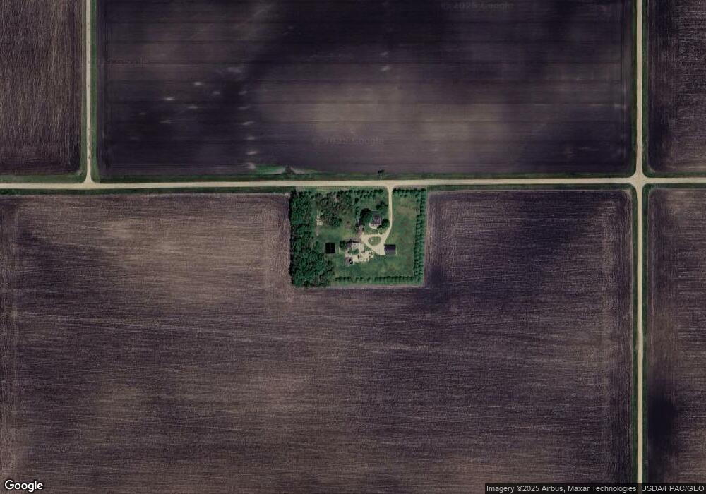
65811 370th St Butterfield, MN 56120
Estimated Value: $319,000 - $326,390
4
Beds
3
Baths
576
Sq Ft
$560/Sq Ft
Est. Value
About This Home
This home is located at 65811 370th St, Butterfield, MN 56120 and is currently estimated at $322,695, approximately $560 per square foot. 65811 370th St is a home located in Watonwan County with nearby schools including Butterfield Elementary School.
Create a Home Valuation Report for This Property
The Home Valuation Report is an in-depth analysis detailing your home's value as well as a comparison with similar homes in the area
Home Values in the Area
Average Home Value in this Area
Tax History Compared to Growth
Tax History
| Year | Tax Paid | Tax Assessment Tax Assessment Total Assessment is a certain percentage of the fair market value that is determined by local assessors to be the total taxable value of land and additions on the property. | Land | Improvement |
|---|---|---|---|---|
| 2025 | $3,638 | $318,500 | $74,400 | $244,100 |
| 2024 | $2,984 | $327,000 | $75,000 | $252,000 |
| 2023 | $2,636 | $305,400 | $75,000 | $230,400 |
| 2022 | $1,752 | $254,300 | $75,000 | $179,300 |
| 2021 | $1,596 | $168,000 | $44,000 | $124,000 |
| 2020 | $1,742 | $170,900 | $44,000 | $126,900 |
| 2019 | $1,858 | $171,400 | $44,000 | $127,400 |
| 2018 | $1,926 | $171,400 | $44,000 | $127,400 |
| 2016 | $1,188 | $163,400 | $44,000 | $119,400 |
| 2014 | -- | $125,000 | $30,300 | $94,700 |
Source: Public Records
Map
Nearby Homes
- 0 Tbd S Third St Unit TBD Third St S
- 525 Elwell Ave
- 325 3rd St N
- 69193 380th St
- 0 Parcel Id# 05 510 0010 Unit 7037951
- 0 Parcel Id# 05 510 0020 Unit 7037952
- 0 Parcel Id Unit 5.510.0040 7037953
- 0 Parcel Id Unit 5.510.0050 7037954
- 0 Parcel Id Unit 5.510.0060 7037955
- 35726 710th Ave
- 204 N 2nd St
- 105 S 2nd St
- 601 Levee Blvd
- 200 10th Ave S
- 914 3rd St S
- 207 7th Ave S
- 1013 Westwood Dr
- 521 4th St N
- 1007 5th St S
- 503 9th Ave S