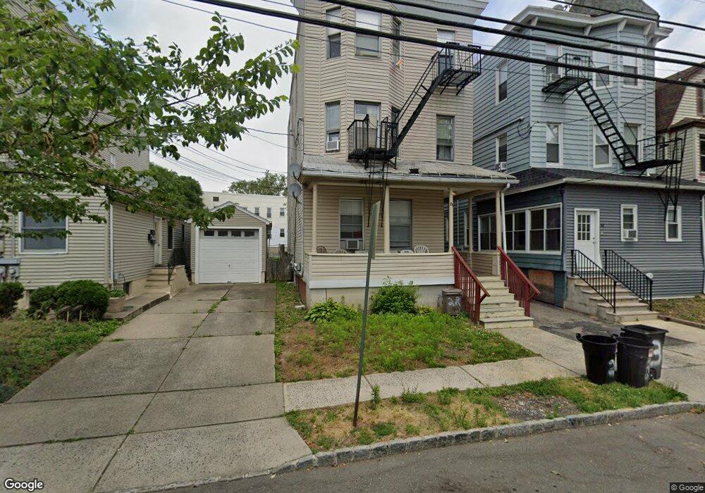
66 James St Bloomfield, NJ 07003
Estimated Value: $602,658 - $757,000
--
Bed
--
Bath
2,624
Sq Ft
$260/Sq Ft
Est. Value
About This Home
This home is located at 66 James St, Bloomfield, NJ 07003 and is currently estimated at $682,915, approximately $260 per square foot. 66 James St is a home located in Essex County with nearby schools including Franklin School, Bloomfield Middle School, and Bloomfield High School.
Ownership History
Date
Name
Owned For
Owner Type
Purchase Details
Closed on
May 6, 2005
Sold by
Morresi Grp Llc
Bought by
B&C Apartments Llc
Current Estimated Value
Home Financials for this Owner
Home Financials are based on the most recent Mortgage that was taken out on this home.
Original Mortgage
$150,000
Interest Rate
5.58%
Mortgage Type
Purchase Money Mortgage
Purchase Details
Closed on
Jun 4, 2002
Sold by
Morresi Carlo
Bought by
Morresi Group Llc
Purchase Details
Closed on
Mar 1, 2002
Sold by
Alwan Khaled
Bought by
Morresi Carlo
Home Financials for this Owner
Home Financials are based on the most recent Mortgage that was taken out on this home.
Original Mortgage
$208,050
Interest Rate
7.01%
Purchase Details
Closed on
Aug 31, 2001
Sold by
Finn Catherine
Bought by
Alwan Khaled
Create a Home Valuation Report for This Property
The Home Valuation Report is an in-depth analysis detailing your home's value as well as a comparison with similar homes in the area
Home Values in the Area
Average Home Value in this Area
Purchase History
| Date | Buyer | Sale Price | Title Company |
|---|---|---|---|
| B&C Apartments Llc | $350,000 | -- | |
| Morresi Group Llc | -- | -- | |
| Morresi Carlo | $219,000 | -- | |
| Alwan Khaled | $150,000 | -- |
Source: Public Records
Mortgage History
| Date | Status | Borrower | Loan Amount |
|---|---|---|---|
| Closed | B&C Apartments Llc | $150,000 | |
| Previous Owner | Morresi Carlo | $208,050 |
Source: Public Records
Tax History Compared to Growth
Tax History
| Year | Tax Paid | Tax Assessment Tax Assessment Total Assessment is a certain percentage of the fair market value that is determined by local assessors to be the total taxable value of land and additions on the property. | Land | Improvement |
|---|---|---|---|---|
| 2025 | $13,726 | $420,000 | $96,900 | $323,100 |
| 2024 | $13,726 | $420,000 | $96,900 | $323,100 |
| 2022 | $13,448 | $420,000 | $96,900 | $323,100 |
| 2021 | $13,201 | $420,000 | $96,900 | $323,100 |
| 2020 | $12,999 | $420,000 | $96,900 | $323,100 |
| 2019 | $12,134 | $304,800 | $106,000 | $198,800 |
| 2018 | $12,082 | $304,800 | $106,000 | $198,800 |
| 2017 | $11,899 | $304,800 | $106,000 | $198,800 |
| 2016 | $11,765 | $304,800 | $106,000 | $198,800 |
| 2015 | $11,659 | $304,800 | $106,000 | $198,800 |
| 2014 | $11,445 | $304,800 | $106,000 | $198,800 |
Source: Public Records
Map
Nearby Homes
- 50 James St Unit 3
- 76 James St
- 31 Spring St
- 366 Hoover Ave Unit 119
- 352 Hoover Ave Unit 94
- 27 Gillespie Rd
- 10 Almira St Unit 14
- 10 14almira St
- 328 Hoover Ave
- 328-330 Hoover Ave
- 149 E Passaic Ave
- 71 Gillespie Rd
- 322 Hoover Ave Unit 73
- 298 Hoover Ave Unit 28
- 267 Hoover Ave
- 40 Brighton Ave
- 185 State St
- 218 Broad St Unit 16B
- 68 James St
- 68 James St Unit 2
- 64 James St
- 72 James St
- 74 James St
- 9 Lois Place Unit 3
- 9 Lois Place Unit 2
- 9 Lois Place Unit 11
- 9 Lois Place Unit a
- 11 N Spring St
- 62 James St
- 60 James St Unit 2
- 60 James St
- 13 N Spring St Unit 1
- 13 N Spring St
- 10-12 Lois Place
- 10-12 Lois Place Unit 12-2
- 58 James St
- 15 N Spring St
- 75 James St