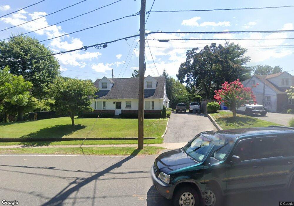
66 Town Path Glen Cove, NY 11542
Estimated Value: $648,247 - $718,000
--
Bed
--
Bath
1,362
Sq Ft
$502/Sq Ft
Est. Value
About This Home
This home is located at 66 Town Path, Glen Cove, NY 11542 and is currently estimated at $683,124, approximately $501 per square foot. 66 Town Path is a home with nearby schools including Robert M Finley Middle School, Glen Cove High School, and Friends Academy.
Ownership History
Date
Name
Owned For
Owner Type
Purchase Details
Closed on
Jul 14, 2010
Sold by
Graziosi Virginia and Graziosi Rosa
Bought by
66 Town Path Llc
Current Estimated Value
Purchase Details
Closed on
Dec 29, 2008
Sold by
Graziosi Rosa and Graziosi Virginia
Bought by
Graziosi Virginia and Graziosi Rosa
Purchase Details
Closed on
Nov 1, 2007
Sold by
Graziosi Rosa
Purchase Details
Closed on
Oct 10, 2006
Sold by
Graziosi Rosa
Purchase Details
Closed on
Dec 21, 2005
Sold by
Graziosi Rosa
Create a Home Valuation Report for This Property
The Home Valuation Report is an in-depth analysis detailing your home's value as well as a comparison with similar homes in the area
Home Values in the Area
Average Home Value in this Area
Purchase History
| Date | Buyer | Sale Price | Title Company |
|---|---|---|---|
| 66 Town Path Llc | -- | -- | |
| 66 Town Path Llc | -- | -- | |
| 66 Town Path Llc | -- | -- | |
| Graziosi Virginia | -- | None Available | |
| Graziosi Virginia | -- | None Available | |
| Graziosi Virginia | -- | None Available | |
| -- | -- | -- | |
| -- | -- | -- | |
| -- | -- | -- | |
| -- | -- | -- | |
| -- | -- | -- | |
| -- | -- | -- |
Source: Public Records
Tax History Compared to Growth
Tax History
| Year | Tax Paid | Tax Assessment Tax Assessment Total Assessment is a certain percentage of the fair market value that is determined by local assessors to be the total taxable value of land and additions on the property. | Land | Improvement |
|---|---|---|---|---|
| 2025 | $796 | $418 | $225 | $193 |
| 2024 | $930 | $448 | $241 | $207 |
| 2023 | $2,636 | $470 | $253 | $217 |
| 2022 | $956 | $470 | $253 | $217 |
| 2021 | $8,371 | $468 | $252 | $216 |
| 2020 | $8,123 | $836 | $647 | $189 |
| 2019 | $1,034 | $836 | $647 | $189 |
| 2018 | $973 | $836 | $0 | $0 |
| 2017 | $899 | $836 | $647 | $189 |
| 2016 | $899 | $836 | $647 | $189 |
| 2015 | $904 | $836 | $647 | $189 |
| 2014 | $904 | $836 | $647 | $189 |
| 2013 | $858 | $836 | $647 | $189 |
Source: Public Records
Map
Nearby Homes
- 118 Highland Rd
- 30 Pearsall Ave Unit 2F
- 30 Pearsall Ave Unit 2M
- 32 Pearsall Ave Unit 1C
- 32 Pearsall Ave Unit 3A
- 32 Pearsall Ave Unit 1G
- 9 Meadow Spring Ln
- 43 Ravine Ave
- 230 Glen St
- 4 Cosgrove Dr
- 7 Edgehill Rd
- 77 Duck Pond Rd
- 89 Duck Pond Rd
- 35 Highland Rd
- 14 Long Branch Rd
- 0 Long Branch Rd Unit KEY868505
- 35 Willits Rd
- 42 2nd St
- 34 Frost Pond Rd
- 20 Hendrick Ave
- 62 Town Path
- 129 Walnut Rd
- 60 Town Path
- 65 Town Path
- 58 Town Path
- 126 Walnut Rd
- 136 Highland Rd
- 55 Town Path
- 45 Pearsall Ave
- 52 Town Path
- 51 Town Path
- 0 Pearsall Ave Unit P1324738
- 43 Pearsall Ave Unit B
- 130 Highland Rd
- 111 Walnut Rd
- 4 Meadow Spring Ln
- 132 Highland Rd
- 112 Walnut Rd
- 47 Town Path
- 46 Town Path