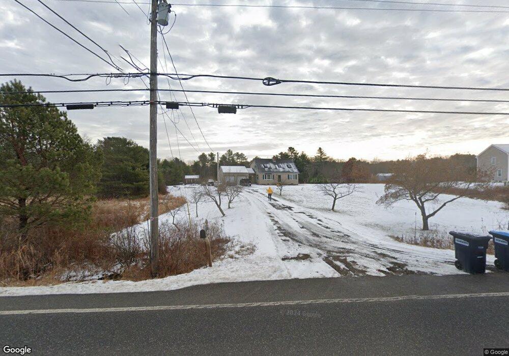
66 Wardtown Rd Freeport, ME 04032
Estimated Value: $538,428 - $884,000
3
Beds
2
Baths
1,935
Sq Ft
$347/Sq Ft
Est. Value
About This Home
This home is located at 66 Wardtown Rd, Freeport, ME 04032 and is currently estimated at $671,357, approximately $346 per square foot. 66 Wardtown Rd is a home with nearby schools including Morse Street School, Mast Landing School, and Freeport Middle School.
Create a Home Valuation Report for This Property
The Home Valuation Report is an in-depth analysis detailing your home's value as well as a comparison with similar homes in the area
Home Values in the Area
Average Home Value in this Area
Tax History Compared to Growth
Tax History
| Year | Tax Paid | Tax Assessment Tax Assessment Total Assessment is a certain percentage of the fair market value that is determined by local assessors to be the total taxable value of land and additions on the property. | Land | Improvement |
|---|---|---|---|---|
| 2024 | $5,304 | $397,300 | $137,600 | $259,700 |
| 2023 | $4,811 | $349,900 | $125,100 | $224,800 |
| 2022 | $4,616 | $338,200 | $113,400 | $224,800 |
| 2021 | $4,515 | $338,200 | $113,400 | $224,800 |
| 2020 | $4,385 | $313,200 | $105,000 | $208,200 |
| 2019 | $4,221 | $295,200 | $99,100 | $196,100 |
| 2018 | $4,094 | $272,000 | $90,600 | $181,400 |
| 2017 | $3,912 | $261,700 | $88,500 | $173,200 |
| 2016 | $3,860 | $244,300 | $83,700 | $160,600 |
Source: Public Records
Map
Nearby Homes
- 42A Wardtown Rd
- 143 Bragdon Rd
- 137 Durham Rd
- 32 Grant Rd
- 1595 U S Route 1
- 8 Statler Ln
- 1260 Us Route 1
- 12 Peter Robin Way
- 31 Allen Range Rd
- 0 Prout Rd
- 15 Tinkers Way
- 42 Durham Rd
- 4 Harper's Trail
- 212 Main St
- 11 Orchard Hill Rd
- 10 Durham Rd
- 15 Percy St
- 304 Pownal Rd
- 1612 U S Route 1
- Lot 5 Crossman Dr