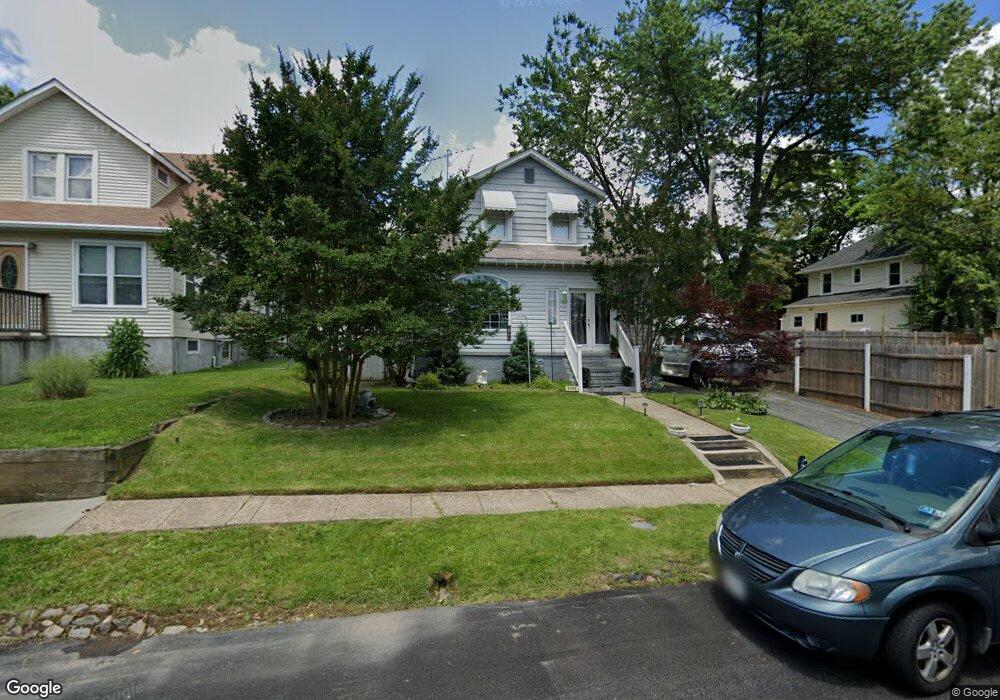
6604 Hampnett Ave Baltimore, MD 21214
Westfield NeighborhoodEstimated Value: $220,000 - $295,297
--
Bed
2
Baths
1,302
Sq Ft
$198/Sq Ft
Est. Value
About This Home
This home is located at 6604 Hampnett Ave, Baltimore, MD 21214 and is currently estimated at $257,649, approximately $197 per square foot. 6604 Hampnett Ave is a home located in Baltimore City with nearby schools including Hamilton Elementary Middle School, Booker T. Washington Middle School, and Paul Laurence Dunbar High School.
Ownership History
Date
Name
Owned For
Owner Type
Purchase Details
Closed on
May 19, 2004
Sold by
Secretary Of Housing
Bought by
Mcconnell Gary and Mcconnell Kathleen
Current Estimated Value
Purchase Details
Closed on
Mar 1, 2004
Sold by
Parham Thomas E
Bought by
Secretary Of Housing And and Urban Development
Purchase Details
Closed on
Jun 23, 1997
Sold by
Lebrun John P
Bought by
Parham Thomas E and Parham Marie A
Create a Home Valuation Report for This Property
The Home Valuation Report is an in-depth analysis detailing your home's value as well as a comparison with similar homes in the area
Home Values in the Area
Average Home Value in this Area
Purchase History
| Date | Buyer | Sale Price | Title Company |
|---|---|---|---|
| Mcconnell Gary | $118,000 | -- | |
| Secretary Of Housing And | $105,000 | -- | |
| Parham Thomas E | $94,000 | -- |
Source: Public Records
Tax History Compared to Growth
Tax History
| Year | Tax Paid | Tax Assessment Tax Assessment Total Assessment is a certain percentage of the fair market value that is determined by local assessors to be the total taxable value of land and additions on the property. | Land | Improvement |
|---|---|---|---|---|
| 2025 | $3,165 | $153,300 | -- | -- |
| 2024 | $3,165 | $145,100 | $51,200 | $93,900 |
| 2023 | $3,158 | $145,100 | $51,200 | $93,900 |
| 2022 | $3,164 | $145,100 | $51,200 | $93,900 |
| 2021 | $3,500 | $148,300 | $51,200 | $97,100 |
| 2020 | $3,068 | $142,500 | $0 | $0 |
| 2019 | $2,924 | $136,700 | $0 | $0 |
| 2018 | $2,890 | $130,900 | $51,200 | $79,700 |
| 2017 | $2,832 | $130,900 | $0 | $0 |
| 2016 | $2,418 | $130,900 | $0 | $0 |
| 2015 | $2,418 | $141,800 | $0 | $0 |
| 2014 | $2,418 | $141,800 | $0 | $0 |
Source: Public Records
Map
Nearby Homes
- 2924 Fleetwood Ave
- 2808 E Northern Pkwy
- 2905 Westfield Ave
- 2803 Fleetwood Ave
- 2803 Berwick Ave
- 3013 Westfield Ave
- 6814 Harford Rd
- 3027 Fleetwood Ave
- 3010 Northway Dr
- 2926 Christopher Ave
- 2707 Kildaire Dr
- 6110 Old Harford Rd
- 2821 Hemlock Ave
- 2909 Inglewood Ave
- 6419 Marietta Ave
- 2911 Inglewood Ave
- 3126 Woodring Ave
- 6405 Sefton Ave
- 2818 Bauernwood Ave
- 2607 Chesley Ave
- 6602 Hampnett Ave
- 2907 E Northern Pkwy
- 2909 E Northern Pkwy
- 6600 Hampnett Ave
- 2905 E Northern Pkwy
- 6607 Elsrode Ave
- 6605 Elsrode Ave
- 2903 E Northern Pkwy
- 6603 Elsrode Ave
- 6605 Hampnett Ave
- 2911 E Northern Pkwy
- 2901 E Northern Pkwy
- 6603 Hampnett Ave
- 2912 Fleetwood Ave
- 2916 Fleetwood Ave
- 2910 Fleetwood Ave
- 6601 Hampnett Ave
- 2908 Fleetwood Ave
- 2906 Fleetwood Ave
- 2913 E Northern Pkwy