66044 Ford Rd Sturgis, MI 49091
Estimated Value: $300,000 - $359,000
--
Bed
1
Bath
1,432
Sq Ft
$227/Sq Ft
Est. Value
About This Home
This home is located at 66044 Ford Rd, Sturgis, MI 49091 and is currently estimated at $324,610, approximately $226 per square foot. 66044 Ford Rd is a home located in St. Joseph County with nearby schools including Sturgis High School and St John's Lutheran School.
Ownership History
Date
Name
Owned For
Owner Type
Purchase Details
Closed on
Aug 21, 2014
Sold by
Fennell Lee Ann and Scheske Eric J
Bought by
Goodlock Lance Beal
Current Estimated Value
Home Financials for this Owner
Home Financials are based on the most recent Mortgage that was taken out on this home.
Original Mortgage
$118,150
Outstanding Balance
$38,218
Interest Rate
4.14%
Mortgage Type
New Conventional
Estimated Equity
$286,392
Purchase Details
Closed on
Jul 13, 2009
Sold by
Myers Marjorie J
Bought by
Fennell Lee Ann
Purchase Details
Closed on
Jul 10, 1988
Sold by
Myers Robert L and Myers Marjorie J
Bought by
Myers Marjorie J
Create a Home Valuation Report for This Property
The Home Valuation Report is an in-depth analysis detailing your home's value as well as a comparison with similar homes in the area
Home Values in the Area
Average Home Value in this Area
Purchase History
| Date | Buyer | Sale Price | Title Company |
|---|---|---|---|
| Goodlock Lance Beal | $139,000 | Patrick Abstract | |
| Fennell Lee Ann | -- | None Available | |
| Myers Marjorie J | -- | -- |
Source: Public Records
Mortgage History
| Date | Status | Borrower | Loan Amount |
|---|---|---|---|
| Open | Goodlock Lance Beal | $118,150 |
Source: Public Records
Tax History Compared to Growth
Tax History
| Year | Tax Paid | Tax Assessment Tax Assessment Total Assessment is a certain percentage of the fair market value that is determined by local assessors to be the total taxable value of land and additions on the property. | Land | Improvement |
|---|---|---|---|---|
| 2025 | $2,745 | $135,800 | $16,200 | $119,600 |
| 2024 | $938 | $134,500 | $13,900 | $120,600 |
| 2023 | $894 | $119,100 | $11,100 | $108,000 |
| 2022 | $0 | $92,000 | $9,900 | $82,100 |
| 2021 | $1,593 | $84,400 | $9,300 | $75,100 |
| 2020 | $815 | $78,700 | $7,900 | $70,800 |
| 2019 | $800 | $75,800 | $7,900 | $67,900 |
| 2018 | $2,187 | $78,900 | $7,900 | $71,000 |
| 2017 | $2,199 | $80,200 | $80,200 | $0 |
| 2016 | -- | $77,100 | $77,100 | $0 |
| 2015 | -- | $75,800 | $0 | $0 |
| 2014 | -- | $75,200 | $75,200 | $0 |
| 2012 | -- | $70,200 | $70,200 | $0 |
Source: Public Records
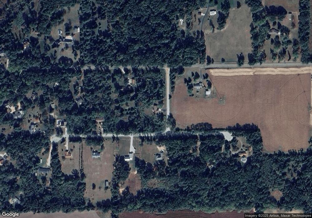
Map
Nearby Homes
- 66109 Hideaway Ln
- 67696 Thunderbird Dr
- VL1 Ottokee Dr
- VL2 Ottokee Dr
- 0 Vl Seneca Ct
- 27304 Oak Dr
- 708 N Centerville Rd
- V/L Banker St
- 23772 Wilson Rd
- 66223 Grey Lake Rd
- 27810 Maystead Rd
- 200 Broadus St
- 28123 Timberly Dr
- V/L White Pine Dr
- 805 N Nottawa St
- 609 Sturgis St
- 607 George St
- 600 Saint Joseph St
- 206 1st St
- 607 N Nottawa St
- 66044 Ford Rd
- 25366 Kimberly Rd
- 25397 Mintdale Rd
- 25393 Kimberly Rd
- 25401 Kimberly Rd
- 25417 Kimberly Rd
- 25417 Kimberly Rd
- 25425 Kimberly Rd
- 25181 Mintdale Rd
- 25369 Kimberly Rd
- 25241 Mintdale Rd
- 25241 Mintdale Rd
- 25356 Kimberly Rd
- 25115 Mintdale Rd
- 25361 Kimberly Rd
- 25350 Kimberly Rd
- 25095 Mintdale Rd
- 25340 Mintdale Rd
- 25353 Kimberly Rd
- 25420 Mintdale Rd