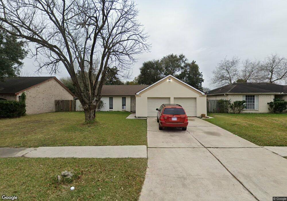
6607 Brownie Campbell Rd Houston, TX 77086
Estimated Value: $205,576 - $232,000
3
Beds
2
Baths
1,446
Sq Ft
$154/Sq Ft
Est. Value
About This Home
This home is located at 6607 Brownie Campbell Rd, Houston, TX 77086 and is currently estimated at $222,394, approximately $153 per square foot. 6607 Brownie Campbell Rd is a home located in Harris County with nearby schools including Kujawa EC/Pre-K/K School, Carmichael Elementary School, and Shotwell Middle School.
Ownership History
Date
Name
Owned For
Owner Type
Purchase Details
Closed on
Jan 7, 2005
Sold by
Harris Frank R and Harris Deborah L
Bought by
Mendoza Marlene
Current Estimated Value
Home Financials for this Owner
Home Financials are based on the most recent Mortgage that was taken out on this home.
Original Mortgage
$99,900
Outstanding Balance
$50,405
Interest Rate
5.74%
Mortgage Type
Purchase Money Mortgage
Estimated Equity
$171,989
Create a Home Valuation Report for This Property
The Home Valuation Report is an in-depth analysis detailing your home's value as well as a comparison with similar homes in the area
Home Values in the Area
Average Home Value in this Area
Purchase History
| Date | Buyer | Sale Price | Title Company |
|---|---|---|---|
| Mendoza Marlene | -- | Fidelity National Title |
Source: Public Records
Mortgage History
| Date | Status | Borrower | Loan Amount |
|---|---|---|---|
| Open | Mendoza Marlene | $99,900 |
Source: Public Records
Tax History Compared to Growth
Tax History
| Year | Tax Paid | Tax Assessment Tax Assessment Total Assessment is a certain percentage of the fair market value that is determined by local assessors to be the total taxable value of land and additions on the property. | Land | Improvement |
|---|---|---|---|---|
| 2025 | $2,687 | $203,748 | $39,253 | $164,495 |
| 2024 | $2,687 | $206,738 | $39,253 | $167,485 |
| 2023 | $2,687 | $210,566 | $39,253 | $171,313 |
| 2022 | $3,430 | $177,373 | $33,265 | $144,108 |
| 2021 | $3,111 | $148,151 | $33,265 | $114,886 |
| 2020 | $3,144 | $140,435 | $33,265 | $107,170 |
| 2019 | $2,972 | $133,190 | $16,961 | $116,229 |
| 2018 | $1,023 | $126,224 | $16,961 | $109,263 |
| 2017 | $2,368 | $118,226 | $15,231 | $102,995 |
| 2016 | $2,153 | $107,199 | $15,231 | $91,968 |
| 2015 | $1,500 | $99,726 | $15,231 | $84,495 |
| 2014 | $1,500 | $72,763 | $15,231 | $57,532 |
Source: Public Records
Map
Nearby Homes
- 6615 Winding Trace Dr
- 6630 Brownie Campbell Rd
- 10522 Northview Dr
- 6654 Brownie Campbell Rd
- 6610 Northleaf Dr
- 6722 Winding Trace Dr
- 6502 Trail Valley Way
- 11009 Panicum Ct
- 11006 Crinkleawn Dr
- 11021 Crenchrus Ct
- 13610 Kaltenbrun Rd
- 13518 Kaltenbrun Rd
- 10306 Jillana Kaye Dr
- 11007 Tobasa Ct
- 6911 Silver Star Dr
- 7023 Sandswept Ln
- 6822 Dusty Dawn Dr
- 10214 Trade Winds Dr
- 6703 Deer Ridge Ln
- 7218 Winding Trace Dr
- 6611 Brownie Campbell Rd
- 6603 Brownie Campbell Rd
- 6614 Canyon Way Dr
- 6615 Brownie Campbell Rd
- 6610 Canyon Way Dr
- 6618 Canyon Way Dr
- 6602 Canyon Way Dr
- 6622 Canyon Way Dr
- 6606 Brownie Campbell Rd
- 6619 Brownie Campbell Rd
- 6610 Brownie Campbell Rd
- 6614 Brownie Campbell Rd
- 6626 Canyon Way Dr
- 6623 Brownie Campbell Rd
- 6618 Brownie Campbell Rd
- 6630 Canyon Way Dr
- 6615 Canyon Way Dr
- 6611 Canyon Way Dr
- 6603 Billikin Dr
- 6619 Canyon Way Dr