661 Chestnut Hill Rd Harpers Ferry, WV 25425
Estimated Value: $512,000 - $784,000
4
Beds
5
Baths
5,486
Sq Ft
$118/Sq Ft
Est. Value
About This Home
This home is located at 661 Chestnut Hill Rd, Harpers Ferry, WV 25425 and is currently estimated at $647,103, approximately $117 per square foot. 661 Chestnut Hill Rd is a home located in Jefferson County with nearby schools including Blue Ridge Elementary School, Harpers Ferry Middle School, and Washington High School.
Ownership History
Date
Name
Owned For
Owner Type
Purchase Details
Closed on
Oct 20, 2017
Sold by
Ridgeway Bryan R and Ridgeway Dawn E
Bought by
Turner Sarah and Turner Duane
Current Estimated Value
Home Financials for this Owner
Home Financials are based on the most recent Mortgage that was taken out on this home.
Original Mortgage
$225,600
Outstanding Balance
$187,781
Interest Rate
3.78%
Mortgage Type
New Conventional
Estimated Equity
$459,322
Create a Home Valuation Report for This Property
The Home Valuation Report is an in-depth analysis detailing your home's value as well as a comparison with similar homes in the area
Home Values in the Area
Average Home Value in this Area
Purchase History
| Date | Buyer | Sale Price | Title Company |
|---|---|---|---|
| Turner Sarah | $282,000 | None Available |
Source: Public Records
Mortgage History
| Date | Status | Borrower | Loan Amount |
|---|---|---|---|
| Open | Turner Sarah | $225,600 |
Source: Public Records
Tax History Compared to Growth
Tax History
| Year | Tax Paid | Tax Assessment Tax Assessment Total Assessment is a certain percentage of the fair market value that is determined by local assessors to be the total taxable value of land and additions on the property. | Land | Improvement |
|---|---|---|---|---|
| 2025 | $3,699 | $338,300 | $56,500 | $281,800 |
| 2024 | $3,495 | $318,600 | $56,500 | $262,100 |
| 2023 | $3,488 | $318,600 | $56,500 | $262,100 |
| 2022 | $3,003 | $272,000 | $43,300 | $228,700 |
| 2021 | $2,769 | $248,000 | $43,300 | $204,700 |
| 2020 | $2,574 | $246,200 | $41,500 | $204,700 |
| 2019 | $2,651 | $248,600 | $41,500 | $207,100 |
| 2018 | $2,824 | $240,400 | $37,700 | $202,700 |
| 2017 | $2,851 | $242,700 | $37,700 | $205,000 |
| 2016 | $2,757 | $235,400 | $30,400 | $205,000 |
| 2015 | $2,735 | $232,200 | $39,400 | $192,800 |
| 2014 | $2,560 | $217,800 | $25,000 | $192,800 |
Source: Public Records
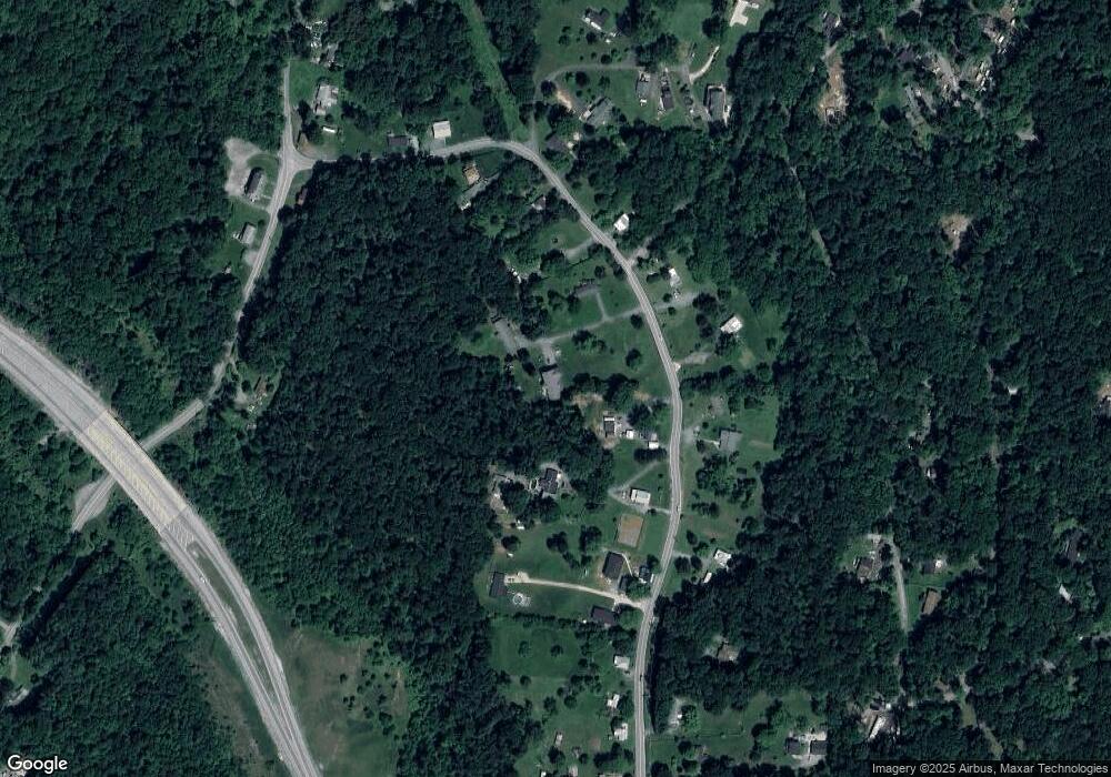
Map
Nearby Homes
- 0 Mill Stone Run
- Lot 17 Mill Stone Run
- Lots 20 & 21 Mill Stone Run
- 0 Red Maple Ln
- 139 River Valley View Dr
- 155 White Fox Trail
- 0 Bear Run
- Lots 76 & 77 Pink Bud Trail
- 0 Skyhawk Trail
- 168 New Harmony Ln
- 32 Middle Cross Trail
- Lot 107 Smokey Bear Trail
- 0 Camp Hill Ln
- 10 Campsite Trail
- 23 Heavenwood Ln
- 0 Estes Way
- 151 Scarlet Oak Dr
- 93 Old Sycamore Ln
- 131 Chrissys Cir
- 291 River View Dr
- 663 Chestnut Hill Rd
- 589 Chestnut Hill Rd
- 41 Hawks Nest Ln
- 24 Ridgeway Ln
- 595 Chestnut Hill Rd
- 583 Chestnut Hill Rd
- 743 Chestnut Hill Rd
- 791 Chestnut Hill Rd
- 6 Hawks Nest Ln
- 503 Chestnut Hill Rd
- 706 Chestnut Hill Rd
- 664 Chestnut Hill Rd
- 598 Chestnut Hill Rd
- 1497 Hostler Rd
- 754 Chestnut Hill Rd
- 1523 Hostler Rd
- 473 Chestnut Hill Rd
- 642 Chestnut Hill Rd
- 532 Chestnut Hill Rd
- 930 Chestnut Hill Rd