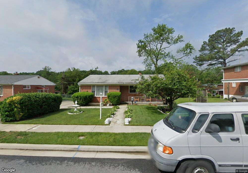
6612 Dalton Dr Gwynn Oak, MD 21207
Estimated Value: $249,000 - $317,000
--
Bed
1
Bath
1,090
Sq Ft
$259/Sq Ft
Est. Value
About This Home
This home is located at 6612 Dalton Dr, Gwynn Oak, MD 21207 and is currently estimated at $281,981, approximately $258 per square foot. 6612 Dalton Dr is a home located in Baltimore County with nearby schools including Wellwood International Elementary, Pikesville Middle School, and Woodlawn High School.
Ownership History
Date
Name
Owned For
Owner Type
Purchase Details
Closed on
Sep 26, 2016
Sold by
Noel Carolyn
Bought by
King Fred C
Current Estimated Value
Purchase Details
Closed on
Feb 28, 2006
Sold by
Blagmond Charles E
Bought by
King Fred C
Home Financials for this Owner
Home Financials are based on the most recent Mortgage that was taken out on this home.
Original Mortgage
$44,000
Interest Rate
6.17%
Mortgage Type
Stand Alone Second
Purchase Details
Closed on
Feb 7, 2006
Sold by
Blagmond Charles E
Bought by
King Fred C
Home Financials for this Owner
Home Financials are based on the most recent Mortgage that was taken out on this home.
Original Mortgage
$44,000
Interest Rate
6.17%
Mortgage Type
Stand Alone Second
Purchase Details
Closed on
Oct 6, 1970
Sold by
Noel Herbert and Noel Carolyn
Bought by
Blagmond Charles E
Create a Home Valuation Report for This Property
The Home Valuation Report is an in-depth analysis detailing your home's value as well as a comparison with similar homes in the area
Home Values in the Area
Average Home Value in this Area
Purchase History
| Date | Buyer | Sale Price | Title Company |
|---|---|---|---|
| King Fred C | $2,000 | Commerce Title Co Inc | |
| King Fred C | $220,000 | -- | |
| King Fred C | $220,000 | -- | |
| Blagmond Charles E | $19,000 | -- |
Source: Public Records
Mortgage History
| Date | Status | Borrower | Loan Amount |
|---|---|---|---|
| Previous Owner | King Fred C | $44,000 | |
| Previous Owner | King Fred C | $176,000 | |
| Previous Owner | King Fred C | $176,000 |
Source: Public Records
Tax History Compared to Growth
Tax History
| Year | Tax Paid | Tax Assessment Tax Assessment Total Assessment is a certain percentage of the fair market value that is determined by local assessors to be the total taxable value of land and additions on the property. | Land | Improvement |
|---|---|---|---|---|
| 2025 | $3,138 | $206,900 | $50,500 | $156,400 |
| 2024 | $3,138 | $197,767 | $0 | $0 |
| 2023 | $1,488 | $188,633 | $0 | $0 |
| 2022 | $2,771 | $179,500 | $50,500 | $129,000 |
| 2021 | $2,766 | $174,267 | $0 | $0 |
| 2020 | $2,766 | $169,033 | $0 | $0 |
| 2019 | $2,577 | $163,800 | $50,500 | $113,300 |
| 2018 | $2,500 | $153,400 | $0 | $0 |
| 2017 | $2,179 | $143,000 | $0 | $0 |
| 2016 | $2,085 | $132,600 | $0 | $0 |
| 2015 | $2,085 | $132,600 | $0 | $0 |
| 2014 | $2,085 | $132,600 | $0 | $0 |
Source: Public Records
Map
Nearby Homes
- 6603 Fairmount Ave
- 6615 Laurel Dr
- 6705 Fairmount Ave
- 3833 Arbutus Ave
- 6509 Parr Ave
- 6811 Parsons Ave
- 3809 Southern Cross Dr
- 3805 Arbutus Ave
- 3716 Sylvan Dr
- 3724 Oak Ave
- 3655 Forest Garden Ave
- 4348 Danlou Dr
- 6804 Carol Rd
- 3651 Campfield Rd
- 3605 Sylvan Dr
- 4108 Fords Ln
- 6513 Liberty Rd
- 7023 Concord Rd
- 3525 Meadowside Rd
- 503 Nassau St