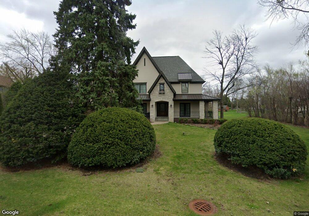
6619 Tennessee Ave Willowbrook, IL 60527
Estimated Value: $532,000 - $589,000
4
Beds
2
Baths
1,956
Sq Ft
$289/Sq Ft
Est. Value
About This Home
This home is located at 6619 Tennessee Ave, Willowbrook, IL 60527 and is currently estimated at $565,705, approximately $289 per square foot. 6619 Tennessee Ave is a home located in DuPage County with nearby schools including Holmes Elementary School, Maercker Elementary School, and Westview Hills Middle School.
Ownership History
Date
Name
Owned For
Owner Type
Purchase Details
Closed on
Jul 27, 2005
Sold by
Booker William G and Booker Irene M
Bought by
Baliutavicius Gintas and Baliutavicius Vita
Current Estimated Value
Home Financials for this Owner
Home Financials are based on the most recent Mortgage that was taken out on this home.
Original Mortgage
$319,600
Outstanding Balance
$163,445
Interest Rate
5.25%
Mortgage Type
New Conventional
Estimated Equity
$402,260
Create a Home Valuation Report for This Property
The Home Valuation Report is an in-depth analysis detailing your home's value as well as a comparison with similar homes in the area
Home Values in the Area
Average Home Value in this Area
Purchase History
| Date | Buyer | Sale Price | Title Company |
|---|---|---|---|
| Baliutavicius Gintas | $399,500 | Midwest Title Services Llc |
Source: Public Records
Mortgage History
| Date | Status | Borrower | Loan Amount |
|---|---|---|---|
| Open | Baliutavicius Gintas | $319,600 |
Source: Public Records
Tax History Compared to Growth
Tax History
| Year | Tax Paid | Tax Assessment Tax Assessment Total Assessment is a certain percentage of the fair market value that is determined by local assessors to be the total taxable value of land and additions on the property. | Land | Improvement |
|---|---|---|---|---|
| 2024 | $11,994 | $193,944 | $126,555 | $67,389 |
| 2023 | $11,580 | $178,290 | $116,340 | $61,950 |
| 2022 | $11,530 | $177,110 | $113,950 | $63,160 |
| 2021 | $11,119 | $175,090 | $112,650 | $62,440 |
| 2020 | $10,948 | $171,620 | $110,420 | $61,200 |
| 2019 | $10,592 | $164,670 | $105,950 | $58,720 |
| 2018 | $9,410 | $170,720 | $105,400 | $65,320 |
| 2017 | $9,076 | $164,280 | $101,420 | $62,860 |
| 2016 | $8,859 | $156,780 | $96,790 | $59,990 |
| 2015 | $8,755 | $147,500 | $91,060 | $56,440 |
| 2014 | $9,216 | $134,170 | $88,540 | $45,630 |
| 2013 | $8,707 | $133,550 | $88,130 | $45,420 |
Source: Public Records
Map
Nearby Homes
- 279 Snug Harbor Dr
- 6136 Bentley Ave
- 6503 Clarendon Hills Rd
- 6542 Bentley Ave
- 6540 Bentley Ave
- 6538 Bentley Ave
- 501 Lake Hinsdale Dr Unit 307
- 501 Lake Hinsdale Dr Unit 207
- 6443 Clarendon Hills Rd Unit 206
- 601 Lake Hinsdale Dr Unit 307
- 601 Lake Hinsdale Dr Unit 301
- 601 Lake Hinsdale Dr Unit 511
- 301 Lake Hinsdale Dr Unit 106
- 301 Lake Hinsdale Dr Unit 404
- 6340 Tennessee Ave
- 701 Lake Hinsdale Dr Unit 306
- 701 Lake Hinsdale Dr Unit 309
- 201 Lake Hinsdale Dr Unit 111
- 40 Portwine Rd
- 209 67th St
- 437 Eagles Nest Dr
- 441 Eagles Nest Dr
- 433 Eagles Nest Dr
- 425 Pheasant Ridge Ct
- 334 67th St
- 338 67th St
- 429 Pheasant Ridge Ct
- 501 Easy St
- 440 Gooseneck Ct
- 428 Gooseneck Ct
- 421 Pheasant Ridge Ct
- 424 Quail Run Ct
- 417 Pheasant Ridge Ct
- 342 67th St
- 505 Easy St
- 436 Gooseneck Ct
- 432 Gooseneck Ct
- 409 Falcon Ct
- 413 Falcon Ct
- 420 Quail Run Ct