662 Mitchell Ave NW Cokato, MN 55321
Estimated Value: $470,000 - $695,730
4
Beds
3
Baths
1,592
Sq Ft
$365/Sq Ft
Est. Value
About This Home
This home is located at 662 Mitchell Ave NW, Cokato, MN 55321 and is currently estimated at $580,683, approximately $364 per square foot. 662 Mitchell Ave NW is a home with nearby schools including Dassel-Cokato Senior High School.
Ownership History
Date
Name
Owned For
Owner Type
Purchase Details
Closed on
Jun 15, 2020
Sold by
Buhl Todd D and Buhl Vicki L
Bought by
Eckhoff Douglas R
Current Estimated Value
Home Financials for this Owner
Home Financials are based on the most recent Mortgage that was taken out on this home.
Original Mortgage
$413,250
Outstanding Balance
$290,512
Interest Rate
3.2%
Mortgage Type
New Conventional
Estimated Equity
$290,171
Create a Home Valuation Report for This Property
The Home Valuation Report is an in-depth analysis detailing your home's value as well as a comparison with similar homes in the area
Home Values in the Area
Average Home Value in this Area
Purchase History
| Date | Buyer | Sale Price | Title Company |
|---|---|---|---|
| Eckhoff Douglas R | $450,000 | Northland Title |
Source: Public Records
Mortgage History
| Date | Status | Borrower | Loan Amount |
|---|---|---|---|
| Open | Eckhoff Douglas R | $413,250 |
Source: Public Records
Tax History Compared to Growth
Tax History
| Year | Tax Paid | Tax Assessment Tax Assessment Total Assessment is a certain percentage of the fair market value that is determined by local assessors to be the total taxable value of land and additions on the property. | Land | Improvement |
|---|---|---|---|---|
| 2025 | $4,476 | $615,800 | $190,900 | $424,900 |
| 2024 | $4,158 | $592,700 | $190,900 | $401,800 |
| 2023 | $3,986 | $589,200 | $180,900 | $408,300 |
| 2022 | $3,534 | $502,300 | $143,700 | $358,600 |
| 2021 | $3,182 | $440,300 | $118,400 | $321,900 |
| 2020 | $2,984 | $382,800 | $115,400 | $267,400 |
| 2019 | $2,898 | $56,800 | $0 | $0 |
| 2018 | $2,310 | $25,100 | $0 | $0 |
| 2017 | $2,064 | $332,100 | $0 | $0 |
| 2016 | $2,058 | $0 | $0 | $0 |
| 2015 | $1,828 | $0 | $0 | $0 |
| 2014 | -- | $0 | $0 | $0 |
Source: Public Records
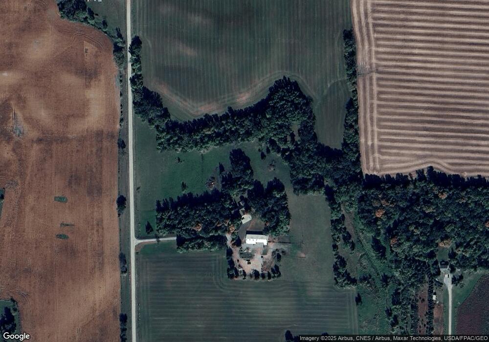
Map
Nearby Homes
- 12814 County Road 35 W
- 1794 Lawrence Cir NW
- 345 County Highway 4 SW
- 431 County Highway 4 SW
- 3990 Moore Ave NW
- 2945 County Road 4 #411 SW
- 2945 County Road 4 Unit 321 SW
- 2945 County Road 4 #144 SW
- 2945 County Road 4 #151 SW
- 2945 County Road 4 #63 SW
- 2945 County Road 4 #119 SW
- 2945 County Road 4 SW Unit 426
- 2945 County Road 4 SW Unit 522
- 2945 County Road 4 SW Unit 109
- 2945 County Road 4 SW Unit 236
- 2945 County Road 4 SW Unit 521
- 2945 County Road 4 SW Unit 341
- 2945 County Road 4 SW Unit 65
- 2945 County Road 4 SW Unit 118
- 2945 County Road 4 SW Unit 428
- 11672 5th St NW
- 527 Mitchell Ave NW
- 11798 5th St NW
- 11499 5th St NW
- 1101 Mitchell Ave NW
- 340 Mitchell Ave NW
- 11552 10th St NW
- 11466 10th St NW
- 11285 10th St NW
- 11856 County Road 35 W
- 73 Mitchell Ave NW
- 11502 County Road 35 W
- 1437 Mitchell Ave NW
- 12043 County Road 35 W
- 50 Mitchell Ave SW
- 512 Mowery Ave NW
- 927 County Road 5 NW
- 11092 10th St NW
- 910 Mowery Ave NW
- XXXX Co Rd 35