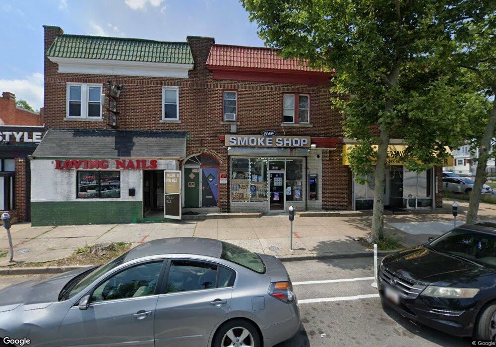
6626 Harford Rd Baltimore, MD 21214
Westfield NeighborhoodEstimated Value: $211,851
--
Bed
--
Bath
2,268
Sq Ft
$93/Sq Ft
Est. Value
About This Home
This home is located at 6626 Harford Rd, Baltimore, MD 21214 and is currently estimated at $211,851, approximately $93 per square foot. 6626 Harford Rd is a home located in Baltimore City with nearby schools including Hamilton Elementary Middle School, Booker T. Washington Middle School, and Paul Laurence Dunbar High School.
Ownership History
Date
Name
Owned For
Owner Type
Purchase Details
Closed on
Jun 18, 2018
Sold by
Yadava Anand K
Bought by
Yadava Anand K and Gajare Savita
Current Estimated Value
Purchase Details
Closed on
Nov 23, 2010
Sold by
Kittridge Michael P
Bought by
Yadava Anand K
Purchase Details
Closed on
Jan 31, 2005
Sold by
Hood Margaret S
Bought by
Kittridge Michael P
Purchase Details
Closed on
Jan 5, 2004
Sold by
Barton Donald E
Bought by
Kittridge Michael P
Create a Home Valuation Report for This Property
The Home Valuation Report is an in-depth analysis detailing your home's value as well as a comparison with similar homes in the area
Home Values in the Area
Average Home Value in this Area
Purchase History
| Date | Buyer | Sale Price | Title Company |
|---|---|---|---|
| Yadava Anand K | -- | Residential Title & Escrow | |
| Yadava Anand K | $100,000 | -- | |
| Kittridge Michael P | -- | -- | |
| Hood Margaret S | -- | -- | |
| Kittridge Michael P | $39,000 | -- |
Source: Public Records
Tax History Compared to Growth
Tax History
| Year | Tax Paid | Tax Assessment Tax Assessment Total Assessment is a certain percentage of the fair market value that is determined by local assessors to be the total taxable value of land and additions on the property. | Land | Improvement |
|---|---|---|---|---|
| 2025 | $3,105 | $140,267 | -- | -- |
| 2024 | $3,105 | $132,200 | $25,300 | $106,900 |
| 2023 | $3,105 | $132,200 | $25,300 | $106,900 |
| 2022 | $3,120 | $132,200 | $25,300 | $106,900 |
| 2021 | $3,493 | $148,000 | $25,300 | $122,700 |
| 2020 | $3,388 | $143,567 | $0 | $0 |
| 2019 | $3,268 | $139,133 | $0 | $0 |
| 2018 | $3,179 | $134,700 | $25,300 | $109,400 |
| 2017 | $2,818 | $119,400 | $0 | $0 |
| 2016 | $2,369 | $104,100 | $0 | $0 |
| 2015 | $2,369 | $88,800 | $0 | $0 |
| 2014 | $2,369 | $88,800 | $0 | $0 |
Source: Public Records
Map
Nearby Homes
- 2924 Fleetwood Ave
- 3027 Fleetwood Ave
- 3010 Northway Dr
- 6814 Harford Rd
- 3013 Westfield Ave
- 2809 E Northern Pkwy
- 2905 Westfield Ave
- 2808 E Northern Pkwy
- 2803 Berwick Ave
- 2803 Fleetwood Ave
- 3126 Woodring Ave
- 2909 Inglewood Ave
- 2911 Inglewood Ave
- 6405 Sefton Ave
- 2926 Christopher Ave
- 3100 Woodhome Ave
- 3102 Woodhome Ave
- 3158 Woodring Ave
- 3156 Woodring Ave
- 2912 Bauernwood Ave
- 6628 Harford Rd Unit A , B
- 6628 Harford Rd
- 6624 Harford Rd
- 6622 Harford Rd
- 2915 E Northern Pkwy
- 6618 Harford Rd
- 2913 E Northern Pkwy
- 52115213 Harford Rd
- 6614 Harford Rd
- 2911 E Northern Pkwy
- 6619 Harford Rd
- 6621 Harford Rd
- 6617 Harford Rd
- 2928 E Northern Pkwy
- 6615 Harford Rd
- 6605 Hampnett Ave
- 2926 E Northern Pkwy
- 6605 Harford Rd
- 2924 E Northern Pkwy
- 6603 Hampnett Ave