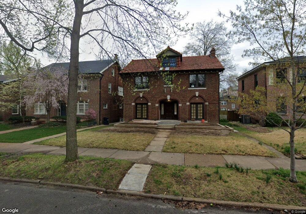
6638 Pershing Ave Saint Louis, MO 63130
Estimated Value: $433,000 - $610,276
4
Beds
3
Baths
2,196
Sq Ft
$244/Sq Ft
Est. Value
About This Home
This home is located at 6638 Pershing Ave, Saint Louis, MO 63130 and is currently estimated at $536,319, approximately $244 per square foot. 6638 Pershing Ave is a home located in St. Louis County with nearby schools including Flynn Park Elementary, Brittany Woods Middle School, and University City High School.
Ownership History
Date
Name
Owned For
Owner Type
Purchase Details
Closed on
Jul 31, 2024
Sold by
Revard Stephen Franklin Hill and Revard Hill
Bought by
Rudolf Investments Llc
Current Estimated Value
Home Financials for this Owner
Home Financials are based on the most recent Mortgage that was taken out on this home.
Original Mortgage
$392,000
Interest Rate
6%
Mortgage Type
Construction
Create a Home Valuation Report for This Property
The Home Valuation Report is an in-depth analysis detailing your home's value as well as a comparison with similar homes in the area
Home Values in the Area
Average Home Value in this Area
Purchase History
| Date | Buyer | Sale Price | Title Company |
|---|---|---|---|
| Rudolf Investments Llc | -- | Cty Title | |
| Rcmac Llc | -- | None Listed On Document |
Source: Public Records
Mortgage History
| Date | Status | Borrower | Loan Amount |
|---|---|---|---|
| Closed | Rcmac Llc | $392,000 |
Source: Public Records
Tax History Compared to Growth
Tax History
| Year | Tax Paid | Tax Assessment Tax Assessment Total Assessment is a certain percentage of the fair market value that is determined by local assessors to be the total taxable value of land and additions on the property. | Land | Improvement |
|---|---|---|---|---|
| 2025 | $4,521 | $62,680 | $58,710 | $3,970 |
| 2024 | $4,521 | $64,010 | $44,040 | $19,970 |
| 2023 | $4,521 | $64,010 | $44,040 | $19,970 |
| 2022 | $4,582 | $60,590 | $39,140 | $21,450 |
| 2021 | $4,535 | $60,590 | $39,140 | $21,450 |
| 2020 | $3,999 | $52,020 | $36,610 | $15,410 |
| 2019 | $4,000 | $52,020 | $36,610 | $15,410 |
| 2018 | $4,723 | $56,920 | $36,610 | $20,310 |
| 2017 | $4,733 | $56,920 | $36,610 | $20,310 |
| 2016 | $4,338 | $49,900 | $26,810 | $23,090 |
| 2015 | $4,311 | $49,900 | $26,810 | $23,090 |
| 2014 | $4,238 | $48,200 | $19,150 | $29,050 |
Source: Public Records
Map
Nearby Homes
- 6624 Pershing Ave
- 316 Melville Ave
- 6607 Waterman Ave
- 6921 Waterman Ave
- 6954 Kingsbury Blvd
- 6026 Waterman Ave Unit 3E
- 603 Westgate Ave Unit 603E
- 605 Westgate Ave Unit 605B
- 603 Westgate Ave Unit 603C
- 710 Leland Ave
- 6170 Mcpherson Ave
- 6163 Mcpherson Ave
- 6331 Alexander Dr
- 708 Trinity Ave
- 6142 Westminster Place
- 6158 Washington Blvd
- 7137 Washington Ave
- 7120 Lindell Blvd
- 6106 Waterman Blvd
- 6109 Mcpherson Ave
- 6636 Pershing Ave
- 6646 Pershing Ave
- 6634 Pershing Ave
- 6630 Pershing Ave
- 6639 University Dr
- 6649 University Dr
- 6802 Pershing Ave
- 6641 Pershing Ave
- 6639 Pershing Ave
- 6628 Pershing Ave
- 6645 Pershing Ave
- 6633 University Dr
- 6635 Pershing Ave
- 6801 University Dr
- 6806 Pershing Ave
- 6631 Pershing Ave
- 6627 University Dr
- 6801 Pershing Ave
- 6627 Pershing Ave
- 6811 University Dr