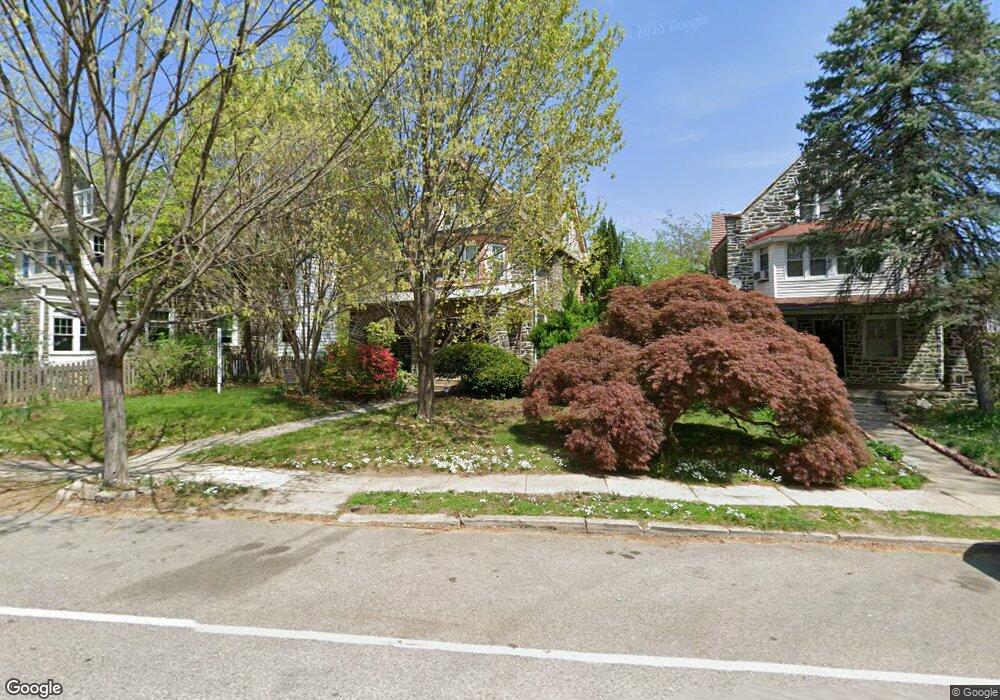
6645 Wayne Ave Philadelphia, PA 19119
West Mount Airy NeighborhoodEstimated Value: $745,389 - $822,000
4
Beds
4
Baths
2,600
Sq Ft
$303/Sq Ft
Est. Value
About This Home
This home is located at 6645 Wayne Ave, Philadelphia, PA 19119 and is currently estimated at $787,597, approximately $302 per square foot. 6645 Wayne Ave is a home located in Philadelphia County with nearby schools including Charles W. Henry School, Roxborough High School, and Mastery Charter School - Francis D. Pastorius Elemen.
Ownership History
Date
Name
Owned For
Owner Type
Purchase Details
Closed on
Aug 13, 2004
Sold by
Hayden Charles and Hayden Tara
Bought by
Barbarash Ellice D
Current Estimated Value
Purchase Details
Closed on
Apr 24, 2003
Sold by
Trulear Harold H and Trulear Elizabeth D
Bought by
Hayden Charles and Hayden Tara
Home Financials for this Owner
Home Financials are based on the most recent Mortgage that was taken out on this home.
Original Mortgage
$188,000
Interest Rate
5.84%
Mortgage Type
Purchase Money Mortgage
Create a Home Valuation Report for This Property
The Home Valuation Report is an in-depth analysis detailing your home's value as well as a comparison with similar homes in the area
Home Values in the Area
Average Home Value in this Area
Purchase History
| Date | Buyer | Sale Price | Title Company |
|---|---|---|---|
| Barbarash Ellice D | $325,000 | -- | |
| Hayden Charles | $235,000 | -- |
Source: Public Records
Mortgage History
| Date | Status | Borrower | Loan Amount |
|---|---|---|---|
| Previous Owner | Hayden Charles | $188,000 |
Source: Public Records
Tax History Compared to Growth
Tax History
| Year | Tax Paid | Tax Assessment Tax Assessment Total Assessment is a certain percentage of the fair market value that is determined by local assessors to be the total taxable value of land and additions on the property. | Land | Improvement |
|---|---|---|---|---|
| 2025 | $8,162 | $662,200 | $132,440 | $529,760 |
| 2024 | $8,162 | $662,200 | $132,440 | $529,760 |
| 2023 | $8,162 | $583,100 | $116,620 | $466,480 |
| 2022 | $7,532 | $538,100 | $116,620 | $421,480 |
| 2021 | $5,669 | $0 | $0 | $0 |
| 2020 | $5,669 | $0 | $0 | $0 |
| 2019 | $5,917 | $0 | $0 | $0 |
| 2018 | $5,364 | $0 | $0 | $0 |
| 2017 | $5,364 | $0 | $0 | $0 |
| 2016 | $4,944 | $0 | $0 | $0 |
| 2015 | -- | $0 | $0 | $0 |
| 2014 | -- | $383,200 | $165,728 | $217,472 |
| 2012 | -- | $54,720 | $17,021 | $37,699 |
Source: Public Records
Map
Nearby Homes
- 525 Burnham Rd
- 520 Burnham Rd
- 6653 Lincoln Dr
- 6623 Mccallum St
- 520-28 Carpenter Ln Unit 3B
- 314 W Upsal St
- 1026 Westview St
- 542 W Ellet St
- 629 W Cliveden St
- 6379 Sherman St
- 6536 Cherokee St
- 7004 Wissahickon Ave
- 319 Pelham Rd
- 141 W Upsal St
- 624 W Johnson St
- 239 W Duval St
- 7101 N Mount Pleasant Place
- 1012 W Cliveden St
- 111 W Sharpnack St
- 67 W Duval St