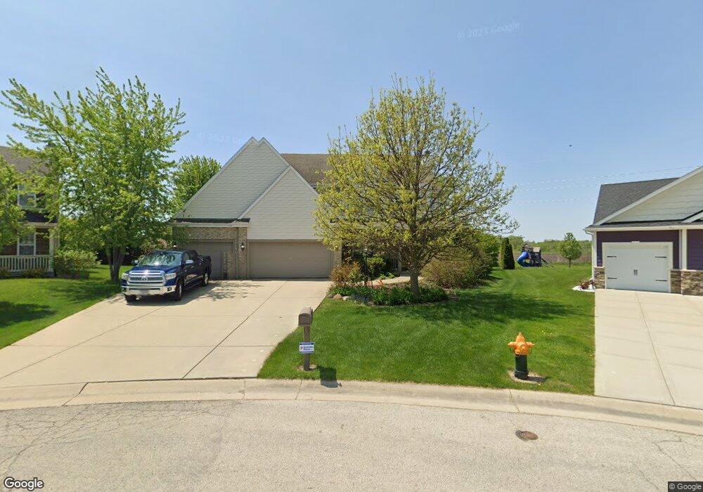
6647 Merganser Dr Mount Pleasant, WI 53406
Estimated Value: $503,000 - $520,574
4
Beds
3
Baths
2,143
Sq Ft
$239/Sq Ft
Est. Value
About This Home
This home is located at 6647 Merganser Dr, Mount Pleasant, WI 53406 and is currently estimated at $511,644, approximately $238 per square foot. 6647 Merganser Dr is a home located in Racine County with nearby schools including West Ridge Elementary School, Mitchell Middle School, and Case High School.
Ownership History
Date
Name
Owned For
Owner Type
Purchase Details
Closed on
Jul 29, 2005
Sold by
Lundberg David R
Bought by
Boilek Benjamin A and Dutton Jeanette M
Current Estimated Value
Home Financials for this Owner
Home Financials are based on the most recent Mortgage that was taken out on this home.
Original Mortgage
$236,000
Outstanding Balance
$123,974
Interest Rate
5.66%
Mortgage Type
New Conventional
Estimated Equity
$387,670
Create a Home Valuation Report for This Property
The Home Valuation Report is an in-depth analysis detailing your home's value as well as a comparison with similar homes in the area
Home Values in the Area
Average Home Value in this Area
Purchase History
| Date | Buyer | Sale Price | Title Company |
|---|---|---|---|
| Boilek Benjamin A | $277,800 | -- |
Source: Public Records
Mortgage History
| Date | Status | Borrower | Loan Amount |
|---|---|---|---|
| Open | Boilek Benjamin A | $236,000 |
Source: Public Records
Tax History Compared to Growth
Tax History
| Year | Tax Paid | Tax Assessment Tax Assessment Total Assessment is a certain percentage of the fair market value that is determined by local assessors to be the total taxable value of land and additions on the property. | Land | Improvement |
|---|---|---|---|---|
| 2024 | $7,494 | $477,300 | $109,900 | $367,400 |
| 2023 | $7,256 | $448,900 | $102,700 | $346,200 |
| 2022 | $6,447 | $395,900 | $102,700 | $293,200 |
| 2021 | $6,592 | $360,800 | $93,400 | $267,400 |
| 2020 | $5,620 | $298,800 | $71,400 | $227,400 |
| 2019 | $5,363 | $298,800 | $71,400 | $227,400 |
| 2018 | $5,020 | $260,000 | $41,400 | $218,600 |
| 2017 | $4,678 | $238,300 | $41,400 | $196,900 |
| 2016 | $4,518 | $217,300 | $41,400 | $175,900 |
| 2015 | $4,477 | $217,300 | $41,400 | $175,900 |
| 2014 | $4,260 | $218,900 | $43,000 | $175,900 |
| 2013 | $4,514 | $218,900 | $43,000 | $175,900 |
Source: Public Records
Map
Nearby Homes
- 6532 Kingsview Dr
- 6352 Kelsey Ct
- 353 Quail Point Dr
- 6343 Ptarmigan Rd
- 6355 Kingsview Dr
- 6940 Mariner Dr Unit 101
- 7020 Mariner Dr Unit 106
- Lt0 Mariner Dr
- 1021 Prairie Dr Unit 101
- 6300 Bald Eagle Rd
- 6755 Mariner Dr Unit 7
- 1040 Prairie Dr Unit 23
- 1117 N Sunnyslope Dr Unit 204
- 1110 Prairie Dr Unit 41L
- 6236 Bald Eagle Rd
- 6342 Kinzie Ave
- 1208 N Sunnyslope Dr Unit 202
- 38 S Emmertsen Rd
- 1231 N Sunnyslope Dr Unit 205
- Cedar Point Plan at Christina Estates
- 6642 Merganser Dr
- 6629 Merganser Dr
- 6626 Merganser Dr
- 6617 Merganser Dr
- 6610 Merganser Dr
- 6558 Dove Cir
- 6600 Kingsview Dr
- 6607 Merganser Dr
- 6546 Dove Cir
- 6602 Merganser Dr
- 6559 Dove Cir
- 6624 Kingsview Dr
- Lt18 Merganser Dr
- 6627 Greenhill Dr
- 6647 Greenhill Dr
- 6554 Kingsview Dr
- 6615 Greenhill Dr
- 6547 Merganser Dr
- 6605 Greenhill Dr
- 6547 Dove Cir