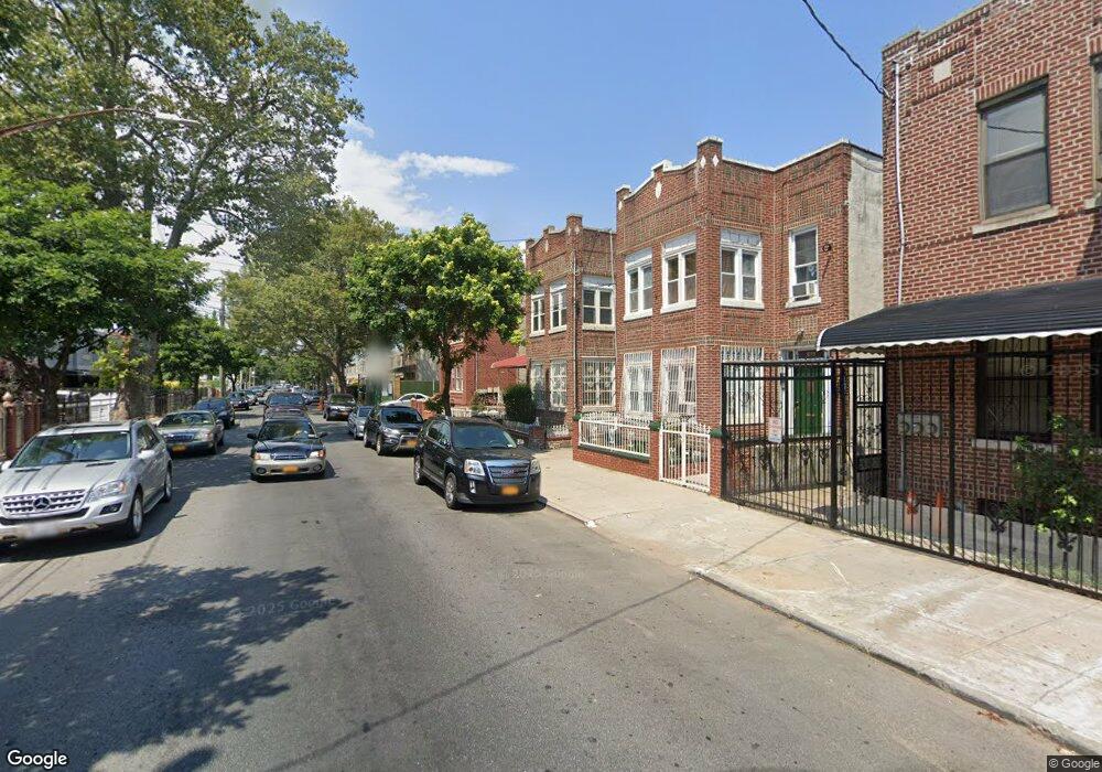
665 Hinsdale St Brooklyn, NY 11207
Brownsville NeighborhoodEstimated Value: $746,289 - $929,000
--
Bed
--
Bath
2,080
Sq Ft
$401/Sq Ft
Est. Value
About This Home
This home is located at 665 Hinsdale St, Brooklyn, NY 11207 and is currently estimated at $834,822, approximately $401 per square foot. 665 Hinsdale St is a home located in Kings County with nearby schools including P.S. 190 - Sheffield, Achievement First - East New York School, and Grace Christian Educational.
Ownership History
Date
Name
Owned For
Owner Type
Purchase Details
Closed on
Sep 12, 2014
Sold by
Joycelyn Mckenzie As Trustee and Neville & Joycelyn Mckenzie Revocable Li
Bought by
Mckenzie Bryan and Mckenzie Joycelyn
Current Estimated Value
Purchase Details
Closed on
Oct 20, 1999
Sold by
Mckenzie Neville B and Mckenzie Joycelyn
Bought by
Mckenzie Neville and Mckenzie Joycelyn
Create a Home Valuation Report for This Property
The Home Valuation Report is an in-depth analysis detailing your home's value as well as a comparison with similar homes in the area
Home Values in the Area
Average Home Value in this Area
Purchase History
| Date | Buyer | Sale Price | Title Company |
|---|---|---|---|
| Mckenzie Bryan | -- | -- | |
| Mckenzie Bryan | -- | -- | |
| Mckenzie Neville | -- | -- | |
| Mckenzie Neville | -- | -- |
Source: Public Records
Tax History Compared to Growth
Tax History
| Year | Tax Paid | Tax Assessment Tax Assessment Total Assessment is a certain percentage of the fair market value that is determined by local assessors to be the total taxable value of land and additions on the property. | Land | Improvement |
|---|---|---|---|---|
| 2025 | $2,447 | $49,860 | $19,680 | $30,180 |
| 2024 | $2,447 | $55,140 | $19,680 | $35,460 |
| 2023 | $2,336 | $60,720 | $19,680 | $41,040 |
| 2022 | $2,167 | $53,700 | $19,680 | $34,020 |
| 2021 | $2,156 | $44,880 | $19,680 | $25,200 |
| 2020 | $1,071 | $37,500 | $19,680 | $17,820 |
| 2019 | $2,124 | $35,820 | $19,680 | $16,140 |
| 2018 | $1,953 | $9,583 | $7,413 | $2,170 |
| 2017 | $1,844 | $9,045 | $5,761 | $3,284 |
| 2016 | $1,706 | $8,536 | $5,995 | $2,541 |
| 2015 | $670 | $8,533 | $4,793 | $3,740 |
| 2014 | $670 | $8,460 | $5,703 | $2,757 |
Source: Public Records
Map
Nearby Homes
- 1755 Linden Blvd
- 1753 Linden Blvd
- 660 Williams Ave Unit 142
- 650 Williams Ave
- 1825 Linden Blvd
- 90 Louisiana Ave
- 589 Hinsdale St
- 770 Snediker Ave
- 584 Hinsdale St
- 442 Newport St
- 610 Alabama Ave
- 606 Alabama Ave
- 494 Hegeman Ave
- 679 Georgia Ave
- 582 Williams Ave
- 578 Williams Ave
- 576 Williams Ave
- 541 Hinsdale St
- 202 Malta St
- 563 Powell St
- 667 Hinsdale St
- 657 Hinsdale St
- 669 Hinsdale St
- 655 Hinsdale St
- 653 Hinsdale St Unit 3
- 653 Hinsdale St
- 673 Hinsdale St
- 651 Hinsdale St
- 696 Williams Ave
- 694 Williams Ave
- 675 Hinsdale St
- 698 Williams Ave Unit TH
- 692 Williams Ave
- 700 Williams Ave
- 690 Williams Ave
- 649 Hinsdale St
- 688 Williams Ave
- 706 Williams Ave
- 677-679 Hinsdale St