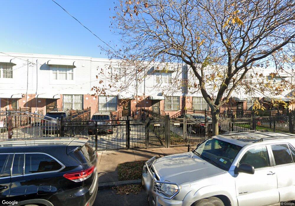
665 Snediker Ave Brooklyn, NY 11207
Brownsville NeighborhoodEstimated Value: $557,054 - $678,000
--
Bed
--
Bath
1,332
Sq Ft
$485/Sq Ft
Est. Value
About This Home
This home is located at 665 Snediker Ave, Brooklyn, NY 11207 and is currently estimated at $646,014, approximately $484 per square foot. 665 Snediker Ave is a home located in Kings County with nearby schools including P.S. 190 - Sheffield and Achievement First - East New York School.
Ownership History
Date
Name
Owned For
Owner Type
Purchase Details
Closed on
Jan 8, 2002
Sold by
Nehemiah Housing Develop
Bought by
Baldwin Barry K
Current Estimated Value
Home Financials for this Owner
Home Financials are based on the most recent Mortgage that was taken out on this home.
Original Mortgage
$77,000
Outstanding Balance
$31,712
Interest Rate
7.15%
Estimated Equity
$614,302
Create a Home Valuation Report for This Property
The Home Valuation Report is an in-depth analysis detailing your home's value as well as a comparison with similar homes in the area
Home Values in the Area
Average Home Value in this Area
Purchase History
| Date | Buyer | Sale Price | Title Company |
|---|---|---|---|
| Baldwin Barry K | -- | -- |
Source: Public Records
Mortgage History
| Date | Status | Borrower | Loan Amount |
|---|---|---|---|
| Open | Baldwin Barry K | $77,000 |
Source: Public Records
Tax History Compared to Growth
Tax History
| Year | Tax Paid | Tax Assessment Tax Assessment Total Assessment is a certain percentage of the fair market value that is determined by local assessors to be the total taxable value of land and additions on the property. | Land | Improvement |
|---|---|---|---|---|
| 2025 | $4,201 | $33,660 | $11,760 | $21,900 |
| 2024 | $4,201 | $34,680 | $11,760 | $22,920 |
| 2023 | $4,007 | $36,720 | $11,760 | $24,960 |
| 2022 | $3,716 | $31,860 | $11,760 | $20,100 |
| 2021 | $3,693 | $27,600 | $11,760 | $15,840 |
| 2020 | $2,770 | $24,900 | $11,760 | $13,140 |
| 2019 | $3,053 | $24,960 | $11,760 | $13,200 |
| 2018 | $2,581 | $16,443 | $6,985 | $9,458 |
| 2017 | $2,198 | $15,513 | $6,055 | $9,458 |
| 2016 | $1,967 | $15,513 | $6,055 | $9,458 |
| 2015 | $474 | $15,396 | $5,938 | $9,458 |
| 2014 | $474 | $14,525 | $5,067 | $9,458 |
Source: Public Records
Map
Nearby Homes
- 1755 Linden Blvd
- 1753 Linden Blvd
- 660 Williams Ave Unit 142
- 650 Williams Ave
- 90 Louisiana Ave
- 1825 Linden Blvd
- 770 Snediker Ave
- 589 Hinsdale St
- 584 Hinsdale St
- 442 Newport St
- 610 Alabama Ave
- 606 Alabama Ave
- 563 Powell St
- 582 Williams Ave
- 578 Williams Ave
- 541 Hinsdale St
- 576 Williams Ave
- 494 Hegeman Ave
- 679 Georgia Ave
- 555 Christopher Ave
- 663 Snediker Ave
- 661 Snediker Ave
- 667 Snediker Ave
- 669 Snediker Ave
- 657 Snediker Ave
- 671 Snediker Ave
- 655 Snediker Ave
- 653 Snediker Ave
- 675 Snediker Ave
- 662 Hinsdale St
- 660 Hinsdale St
- 664 Hinsdale St
- 658 Hinsdale St
- 666 Hinsdale St
- 656 Hinsdale St
- 651 Snediker Ave
- 668 Hinsdale St
- 654 Hinsdale St
- 670 Hinsdale St
- 681 Snediker Ave