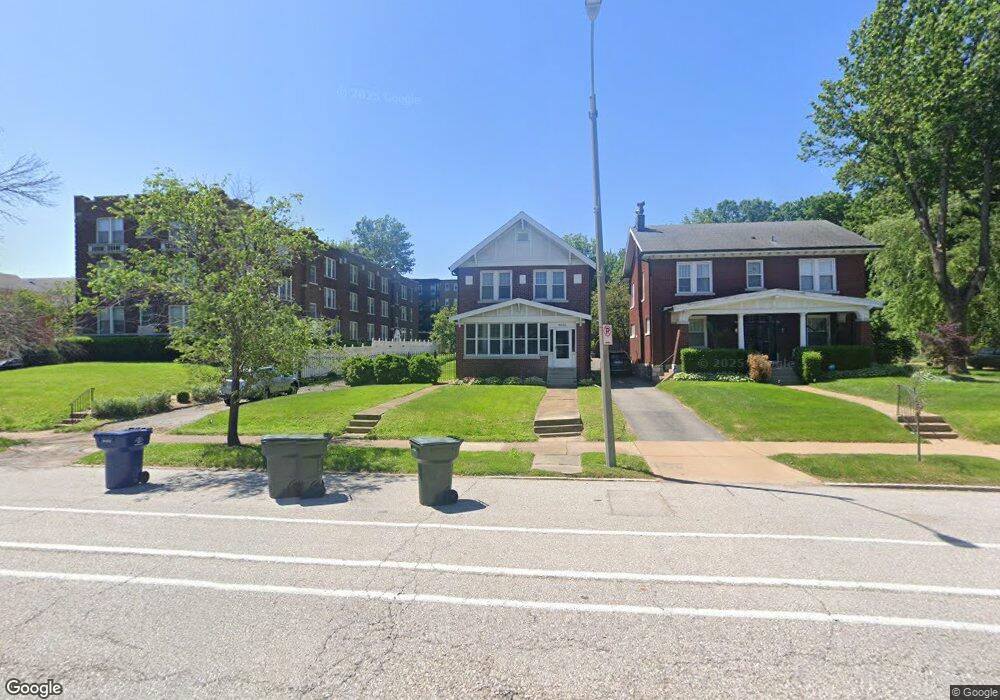
6656 Oakland Ave Saint Louis, MO 63139
Hi-Pointe NeighborhoodEstimated Value: $309,974 - $379,000
--
Bed
1
Bath
1,776
Sq Ft
$198/Sq Ft
Est. Value
About This Home
This home is located at 6656 Oakland Ave, Saint Louis, MO 63139 and is currently estimated at $351,744, approximately $198 per square foot. 6656 Oakland Ave is a home located in St. Louis City with nearby schools including Mason Elementary School, Long International Middle School, and Roosevelt High School.
Ownership History
Date
Name
Owned For
Owner Type
Purchase Details
Closed on
Oct 3, 2025
Sold by
Kollias Kathleen D
Bought by
Walters Lexie A
Current Estimated Value
Purchase Details
Closed on
Nov 9, 2001
Sold by
Slay Glen
Bought by
Roster Lori
Home Financials for this Owner
Home Financials are based on the most recent Mortgage that was taken out on this home.
Original Mortgage
$72,000
Interest Rate
6.59%
Mortgage Type
Purchase Money Mortgage
Create a Home Valuation Report for This Property
The Home Valuation Report is an in-depth analysis detailing your home's value as well as a comparison with similar homes in the area
Home Values in the Area
Average Home Value in this Area
Purchase History
| Date | Buyer | Sale Price | Title Company |
|---|---|---|---|
| Walters Lexie A | -- | Investors Title Company | |
| Roster Lori | -- | -- |
Source: Public Records
Mortgage History
| Date | Status | Borrower | Loan Amount |
|---|---|---|---|
| Previous Owner | Roster Lori | $72,000 |
Source: Public Records
Tax History Compared to Growth
Tax History
| Year | Tax Paid | Tax Assessment Tax Assessment Total Assessment is a certain percentage of the fair market value that is determined by local assessors to be the total taxable value of land and additions on the property. | Land | Improvement |
|---|---|---|---|---|
| 2025 | $3,237 | $46,020 | $4,290 | $41,730 |
| 2024 | $3,092 | $38,500 | $4,290 | $34,210 |
| 2023 | $3,092 | $38,500 | $4,290 | $34,210 |
| 2022 | $2,907 | $34,830 | $4,290 | $30,540 |
| 2021 | $2,903 | $34,830 | $4,290 | $30,540 |
| 2020 | $2,762 | $33,380 | $4,290 | $29,090 |
| 2019 | $2,752 | $33,380 | $4,290 | $29,090 |
| 2018 | $2,717 | $31,940 | $4,290 | $27,650 |
| 2017 | $2,671 | $31,940 | $4,290 | $27,650 |
| 2016 | $2,665 | $31,460 | $4,290 | $27,170 |
| 2015 | $2,416 | $31,460 | $4,290 | $27,170 |
| 2014 | $2,403 | $31,460 | $4,290 | $27,170 |
| 2013 | -- | $31,310 | $4,290 | $27,020 |
Source: Public Records
Map
Nearby Homes
- 6614 Oakland Ave Unit A
- 6608 Oakland Ave
- 6756 Dolan Place
- 1225 Kraft St
- 6815 Wise Ave
- 1111 Forest Ave
- 6816 Wise Ave
- 6719 Nashville Ave
- 6821 W Park Ave
- 7022 Ethel Ave
- 1031 Art Hill Place
- 6239 Alamo Ave
- 1348 Kraft St
- 6232 Southwood Ave Unit 3
- 1126 Art Hill Place
- 701 S Skinker Blvd Unit 403
- 1361 Louisville Ave
- 709 S Skinker Blvd Unit 703
- 709 S Skinker Blvd Unit 601
- 6827 R Dale Ave
- 6648 Oakland Ave
- 6660 Oakland Ave
- 6668 Oakland Ave
- 6672 Oakland Ave
- 6678 Oakland Ave
- 6657 Berthold Ave
- 6647 Berthold Ave
- 6653 Berthold Ave
- 6655 Berthold Ave
- 6649 Berthold Ave
- 6651 Berthold Ave
- 6647-6655 Berthold Ave
- 6644 Oakland Ave
- 6644 Oakland Ave
- 6644 Oakland Ave
- 6644 Oakland Ave
- 6644 Oakland Ave
- 6644 Oakland Ave
- 6644 Oakland Ave
- 6644 Oakland Ave