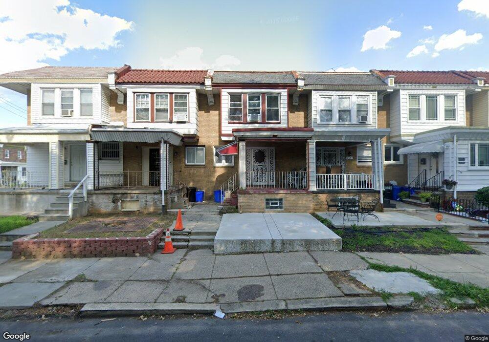
6657 N 20th St Philadelphia, PA 19138
West Oak Lane NeighborhoodEstimated Value: $163,000 - $225,000
3
Beds
1
Bath
1,210
Sq Ft
$166/Sq Ft
Est. Value
About This Home
This home is located at 6657 N 20th St, Philadelphia, PA 19138 and is currently estimated at $200,473, approximately $165 per square foot. 6657 N 20th St is a home located in Philadelphia County with nearby schools including William Rowen School, Gen. Louis Wagner Middle School, and Martin Luther King High School.
Ownership History
Date
Name
Owned For
Owner Type
Purchase Details
Closed on
Feb 12, 2021
Sold by
Lindsay Teonee
Bought by
Lindsay Teonee
Current Estimated Value
Purchase Details
Closed on
May 31, 2005
Sold by
Rabovetsky Naum
Bought by
Lindsay Teonee
Home Financials for this Owner
Home Financials are based on the most recent Mortgage that was taken out on this home.
Original Mortgage
$82,300
Outstanding Balance
$43,159
Interest Rate
5.83%
Mortgage Type
FHA
Estimated Equity
$157,314
Purchase Details
Closed on
Jan 10, 2005
Sold by
Dunn Mary Beth
Bought by
Deutsche Bank National Co and Ameriquest Mortgage Securities Inc Serie
Purchase Details
Closed on
Apr 22, 2002
Sold by
Dunn Joan Mccann
Bought by
Dunn Mary Beth
Create a Home Valuation Report for This Property
The Home Valuation Report is an in-depth analysis detailing your home's value as well as a comparison with similar homes in the area
Home Values in the Area
Average Home Value in this Area
Purchase History
| Date | Buyer | Sale Price | Title Company |
|---|---|---|---|
| Lindsay Teonee | -- | None Available | |
| Lindsay Teonee | $83,000 | -- | |
| Deutsche Bank National Co | $60,000 | -- | |
| Dunn Mary Beth | -- | -- |
Source: Public Records
Mortgage History
| Date | Status | Borrower | Loan Amount |
|---|---|---|---|
| Open | Lindsay Teonee | $82,300 |
Source: Public Records
Tax History Compared to Growth
Tax History
| Year | Tax Paid | Tax Assessment Tax Assessment Total Assessment is a certain percentage of the fair market value that is determined by local assessors to be the total taxable value of land and additions on the property. | Land | Improvement |
|---|---|---|---|---|
| 2025 | $2,009 | $170,500 | $34,100 | $136,400 |
| 2024 | $2,009 | $170,500 | $34,100 | $136,400 |
| 2023 | $2,009 | $143,500 | $28,700 | $114,800 |
| 2022 | $894 | $98,500 | $28,700 | $69,800 |
| 2021 | $1,524 | $0 | $0 | $0 |
| 2020 | $1,524 | $0 | $0 | $0 |
| 2019 | $1,592 | $0 | $0 | $0 |
| 2018 | $964 | $0 | $0 | $0 |
| 2017 | $1,384 | $0 | $0 | $0 |
| 2016 | $964 | $0 | $0 | $0 |
| 2015 | $867 | $0 | $0 | $0 |
| 2014 | -- | $94,700 | $7,331 | $87,369 |
| 2012 | -- | $12,512 | $2,315 | $10,197 |
Source: Public Records
Map
Nearby Homes
- 6625 Ogontz Ave
- 6732 Ogontz Ave
- 6600 N Opal St
- 6603 Ogontz Ave
- 2022 66th Ave
- 1816 67th Ave
- 2056 Eastburn Ave
- 6731 N Woodstock St
- 6733 N Woodstock St
- 6629 N Gratz St
- 6609 N Gratz St
- 6558 Limekiln Pike
- 6518 Ogontz Ave
- 1733 67th Ave
- 2061 Independence St
- 1731 67th Ave
- 6869 Forrest Ave
- 6838 Ogontz Ave
- 2070 E Haines St
- 1716 67th Ave