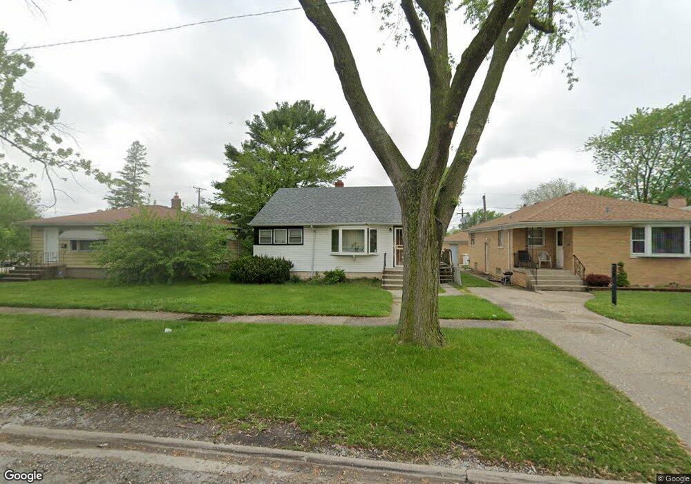
666 Memorial Dr Calumet City, IL 60409
Estimated Value: $128,552 - $209,000
3
Beds
1
Bath
1,046
Sq Ft
$160/Sq Ft
Est. Value
About This Home
This home is located at 666 Memorial Dr, Calumet City, IL 60409 and is currently estimated at $167,138, approximately $159 per square foot. 666 Memorial Dr is a home located in Cook County with nearby schools including Wilson Elementary School, Wentworth Intermediate School, and Wentworth Jr High School.
Ownership History
Date
Name
Owned For
Owner Type
Purchase Details
Closed on
Jun 19, 2023
Sold by
Pry Devin C and Pry Karen J
Bought by
Vr Homes Llc
Current Estimated Value
Purchase Details
Closed on
Aug 5, 2013
Sold by
Pry Devin
Bought by
Pry Devin and Pry Karen
Home Financials for this Owner
Home Financials are based on the most recent Mortgage that was taken out on this home.
Original Mortgage
$92,000
Interest Rate
4.1%
Mortgage Type
New Conventional
Purchase Details
Closed on
Apr 23, 2007
Sold by
Pry Devin C and Chapman Karen J
Bought by
A C Holdings Calumet City Series
Create a Home Valuation Report for This Property
The Home Valuation Report is an in-depth analysis detailing your home's value as well as a comparison with similar homes in the area
Home Values in the Area
Average Home Value in this Area
Purchase History
| Date | Buyer | Sale Price | Title Company |
|---|---|---|---|
| Vr Homes Llc | $130,000 | Fidelity National Title | |
| Pry Devin | -- | None Available | |
| A C Holdings Calumet City Series | -- | None Available |
Source: Public Records
Mortgage History
| Date | Status | Borrower | Loan Amount |
|---|---|---|---|
| Previous Owner | Pry Devin | $92,000 |
Source: Public Records
Tax History Compared to Growth
Tax History
| Year | Tax Paid | Tax Assessment Tax Assessment Total Assessment is a certain percentage of the fair market value that is determined by local assessors to be the total taxable value of land and additions on the property. | Land | Improvement |
|---|---|---|---|---|
| 2024 | $3,221 | $5,000 | $1,162 | $3,838 |
| 2023 | $2,960 | $5,000 | $1,162 | $3,838 |
| 2022 | $2,960 | $3,673 | $1,016 | $2,657 |
| 2021 | $2,847 | $3,672 | $1,016 | $2,656 |
| 2020 | $2,669 | $3,672 | $1,016 | $2,656 |
| 2019 | $1,632 | $3,851 | $943 | $2,908 |
| 2018 | $1,597 | $3,851 | $943 | $2,908 |
| 2017 | $1,565 | $3,851 | $943 | $2,908 |
| 2016 | $1,924 | $4,153 | $871 | $3,282 |
| 2015 | $1,849 | $4,153 | $871 | $3,282 |
| 2014 | $2,033 | $4,153 | $871 | $3,282 |
| 2013 | $1,965 | $4,708 | $871 | $3,837 |
Source: Public Records
Map
Nearby Homes
- 772 Memorial Dr
- 566 Hirsch Ave
- 580 Hirsch Ave
- 510 Mackinaw Ave
- 650 Greenbay Ave
- 650 Mackinaw Ave
- 658 Mackinaw Ave
- 617 Hirsch Ave
- 655 Hirsch Ave
- 811 Sibley Blvd
- 525 Price Ave
- 615 Price Ave
- 455 Buffalo Ave
- 708 May St
- 527 Gordon Ave
- 434 Mackinaw Ave
- 719 Greenbay Ave
- 1129 Sibley Blvd
- 579 Freeland Ave
- 413 Greenbay Ave
- 666 Memorial Dr
- 674 Memorial Dr
- 660 Memorial Dr
- 563 Mackinaw Ave
- 658 Memorial Dr
- 561 Mackinaw Ave
- 654 Memorial Dr
- 700 Memorial Dr
- 700 Memorial Dr
- 650 Memorial Dr
- 650 Memorial Dr
- 562 Greenbay Ave
- 557 Mackinaw Ave
- 704 Memorial Dr
- 560 Greenbay Ave
- 669 Memorial Dr
- 669 Memorial Dr
- 675 Memorial Dr
- 675 Memorial Dr
- 562 Mackinaw Ave