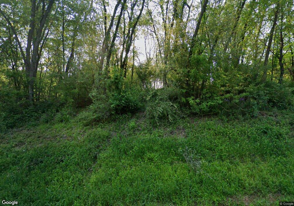
66639 Balk Rd Sturgis, MI 49091
Estimated Value: $526,448 - $878,000
--
Bed
--
Bath
2,374
Sq Ft
$281/Sq Ft
Est. Value
About This Home
This home is located at 66639 Balk Rd, Sturgis, MI 49091 and is currently estimated at $667,816, approximately $281 per square foot. 66639 Balk Rd is a home with nearby schools including Sturgis High School.
Ownership History
Date
Name
Owned For
Owner Type
Purchase Details
Closed on
Jan 25, 2017
Sold by
Kidle Martha A and Gravelle Martha A
Bought by
Herman Anhony
Current Estimated Value
Purchase Details
Closed on
Dec 30, 2009
Sold by
Sisson Robert C and Sisson Theresa A
Bought by
Herman Anthony and Herman Heather
Purchase Details
Closed on
May 15, 2003
Sold by
Tyler David G
Bought by
Sisson Robert C and Sisson Theresa A
Create a Home Valuation Report for This Property
The Home Valuation Report is an in-depth analysis detailing your home's value as well as a comparison with similar homes in the area
Home Values in the Area
Average Home Value in this Area
Purchase History
| Date | Buyer | Sale Price | Title Company |
|---|---|---|---|
| Herman Anhony | $67,500 | Title Resource Agency | |
| Herman Anthony | $60,000 | Mbt Title Services Llc | |
| Sisson Robert C | $57,500 | -- |
Source: Public Records
Tax History Compared to Growth
Tax History
| Year | Tax Paid | Tax Assessment Tax Assessment Total Assessment is a certain percentage of the fair market value that is determined by local assessors to be the total taxable value of land and additions on the property. | Land | Improvement |
|---|---|---|---|---|
| 2025 | $4,820 | $293,200 | $45,800 | $247,400 |
| 2024 | $1,647 | $270,900 | $39,900 | $231,000 |
| 2023 | $1,569 | $243,500 | $32,200 | $211,300 |
| 2022 | $0 | $207,600 | $23,900 | $183,700 |
| 2021 | $2,797 | $176,900 | $22,400 | $154,500 |
| 2020 | $1,430 | $178,100 | $21,600 | $156,500 |
| 2019 | $1,404 | $159,800 | $21,600 | $138,200 |
| 2018 | $3,630 | $148,300 | $21,600 | $126,700 |
| 2017 | $3,649 | $146,800 | $146,800 | $0 |
| 2016 | -- | $139,800 | $139,800 | $0 |
| 2015 | -- | $133,600 | $133,600 | $0 |
| 2014 | -- | $127,800 | $127,800 | $0 |
| 2012 | -- | $114,600 | $114,600 | $0 |
Source: Public Records
Map
Nearby Homes
- 67696 Thunderbird Dr
- VL1 Ottokee Dr
- VL2 Ottokee Dr
- 0 Vl Seneca Ct
- 23772 Wilson Rd
- 66109 Hideaway Ln
- 708 N Centerville Rd
- 27304 Oak Dr
- 200 Broadus St
- V/L Banker St
- 66223 Grey Lake Rd
- 206 1st St
- 65890 Burg Rd
- 600 Saint Joseph St
- 26865 Us Highway 12
- 69375 Vicky Dr
- 202 N Centerville Rd
- 805 N Nottawa St
- 609 Sturgis St
- 607 N Nottawa St
- 66791 Balk Rd
- 66590 Balk Rd
- 66590 Balk Rd
- 66841 Balk Rd
- 66141 Balk Rd
- 66209 Balk Rd
- 66221 Balk Rd
- 66517 Sherman Mill Rd
- 66892 Sherman Mill Rd
- 66892 Sherman Mill Rd
- 66778 Sherman Mill Rd
- 66872 Sherman Mill Rd
- 66806 Sherman Mill Rd
- 66934 Sherman Mill Rd
- 66679 Sherman Mill Rd
- 67001 Sherman Mill Rd
- 66421 Sherman Mill Rd
- 66421 Sherman Mill Rd
- 66700 Balk Rd
- 2 Balk Rd
