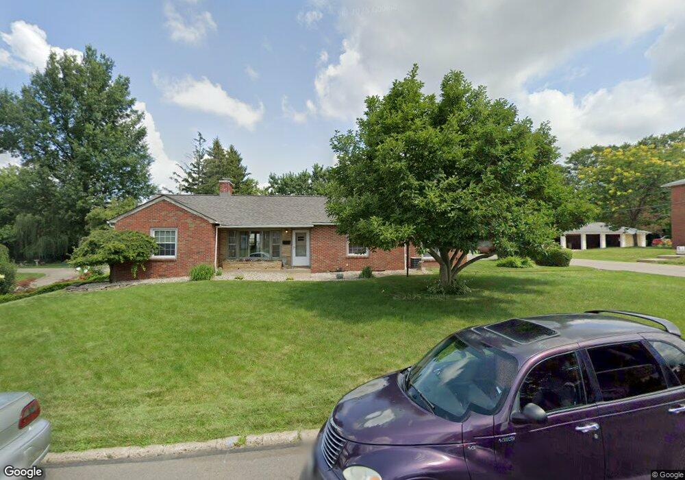
668 Barnard Ave Mansfield, OH 44903
Estimated Value: $166,000 - $195,000
3
Beds
2
Baths
1,452
Sq Ft
$122/Sq Ft
Est. Value
About This Home
This home is located at 668 Barnard Ave, Mansfield, OH 44903 and is currently estimated at $177,030, approximately $121 per square foot. 668 Barnard Ave is a home located in Richland County with nearby schools including Goal Digital Academy, Discovery School, and St. Peter's High School/Junior High.
Ownership History
Date
Name
Owned For
Owner Type
Purchase Details
Closed on
Jul 23, 2001
Sold by
Kanzig Michael W
Bought by
Newton Shawn D
Current Estimated Value
Home Financials for this Owner
Home Financials are based on the most recent Mortgage that was taken out on this home.
Original Mortgage
$80,634
Outstanding Balance
$31,255
Interest Rate
7.22%
Mortgage Type
FHA
Estimated Equity
$145,775
Purchase Details
Closed on
Dec 14, 1998
Sold by
Hales Richard A
Bought by
Kanzig Michael W and Lee Melissa A
Home Financials for this Owner
Home Financials are based on the most recent Mortgage that was taken out on this home.
Original Mortgage
$67,150
Interest Rate
9%
Mortgage Type
New Conventional
Purchase Details
Closed on
Apr 17, 1996
Sold by
Ely Janet S
Bought by
Hales Richard A
Home Financials for this Owner
Home Financials are based on the most recent Mortgage that was taken out on this home.
Original Mortgage
$74,000
Interest Rate
7.44%
Mortgage Type
New Conventional
Purchase Details
Closed on
Nov 5, 1993
Sold by
Scott Frances M
Bought by
Ely Janet S
Create a Home Valuation Report for This Property
The Home Valuation Report is an in-depth analysis detailing your home's value as well as a comparison with similar homes in the area
Home Values in the Area
Average Home Value in this Area
Purchase History
| Date | Buyer | Sale Price | Title Company |
|---|---|---|---|
| Newton Shawn D | $81,900 | -- | |
| Kanzig Michael W | $79,000 | -- | |
| Hales Richard A | $84,000 | -- | |
| Ely Janet S | $62,000 | -- |
Source: Public Records
Mortgage History
| Date | Status | Borrower | Loan Amount |
|---|---|---|---|
| Open | Newton Shawn D | $80,634 | |
| Previous Owner | Kanzig Michael W | $67,150 | |
| Previous Owner | Hales Richard A | $74,000 |
Source: Public Records
Tax History Compared to Growth
Tax History
| Year | Tax Paid | Tax Assessment Tax Assessment Total Assessment is a certain percentage of the fair market value that is determined by local assessors to be the total taxable value of land and additions on the property. | Land | Improvement |
|---|---|---|---|---|
| 2024 | $1,782 | $38,050 | $5,290 | $32,760 |
| 2023 | $1,782 | $38,050 | $5,290 | $32,760 |
| 2022 | $1,571 | $28,120 | $4,540 | $23,580 |
| 2021 | $1,582 | $28,120 | $4,540 | $23,580 |
| 2020 | $1,618 | $28,120 | $4,540 | $23,580 |
| 2019 | $1,793 | $28,120 | $4,540 | $23,580 |
| 2018 | $1,768 | $28,120 | $4,540 | $23,580 |
| 2017 | $1,721 | $28,120 | $4,540 | $23,580 |
| 2016 | $1,795 | $28,440 | $5,790 | $22,650 |
| 2015 | $1,714 | $28,440 | $5,790 | $22,650 |
| 2014 | $1,692 | $28,440 | $5,790 | $22,650 |
| 2012 | $644 | $28,430 | $6,090 | $22,340 |
Source: Public Records
Map
Nearby Homes
- 679 Coleman Rd
- 616 Cline Ave
- 408 Fairlawn Ave
- 191 Fairlawn Ave
- 212 Marlow Rd
- 538 Broadview Ave
- 143 Fairlawn Ave
- 135 Fairlawn Ave
- 129 Fairlawn Ave
- 118 Parkwood Blvd
- 133 Stewart Ave S
- 190 S Linden Rd
- 126 Dawson Ave
- 78 Glenwood Blvd
- 41 Parkwood Blvd
- 143 Kingwood Place
- 88 Sherman Ave
- 21 Glenwood Blvd
- 244 S Trimble Rd Unit 246
- 232 S Trimble Rd Unit 234
- 669 Coleman Rd
- 650 Barnard Ave
- 661 Barnard Ave
- 686 Barnard Ave
- 655 Coleman Rd
- 685 Coleman Rd
- 657 Barnard Ave
- 644 Barnard Ave
- 668 Coleman Rd
- 653 Barnard Ave
- 696 Barnard Ave
- 687 Barnard Ave
- 693 Coleman Rd
- 643 Barnard Ave
- 678 Coleman Rd
- 643 Coleman Rd
- 0 Barnard Ave
- 638 Barnard Ave
- 660 Manchester Rd
- 688 Coleman Rd