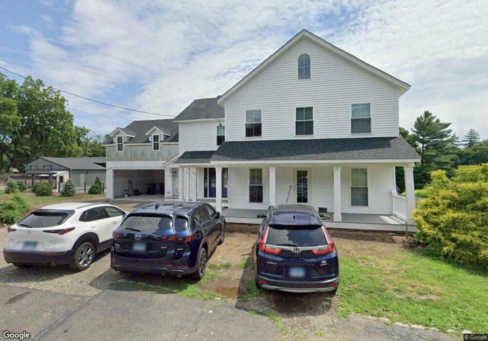
668 Bronson Rd Unit 1 Southport, CT 06890
Estimated Value: $1,028,000 - $1,192,094
3
Beds
1
Bath
1,200
Sq Ft
$897/Sq Ft
Est. Value
About This Home
This home is located at 668 Bronson Rd Unit 1, Southport, CT 06890 and is currently estimated at $1,076,024, approximately $896 per square foot. 668 Bronson Rd Unit 1 is a home located in Fairfield County with nearby schools including Mill Hill School, Roger Ludlowe Middle School, and Fairfield Ludlowe High School.
Ownership History
Date
Name
Owned For
Owner Type
Purchase Details
Closed on
Apr 20, 2018
Sold by
Forest Lee
Bought by
668 Bronson Road Llc
Current Estimated Value
Purchase Details
Closed on
Aug 17, 2015
Sold by
Mauri Barry and Mauri Faith
Bought by
Forest Lee
Home Financials for this Owner
Home Financials are based on the most recent Mortgage that was taken out on this home.
Original Mortgage
$504,000
Interest Rate
4.08%
Create a Home Valuation Report for This Property
The Home Valuation Report is an in-depth analysis detailing your home's value as well as a comparison with similar homes in the area
Home Values in the Area
Average Home Value in this Area
Purchase History
| Date | Buyer | Sale Price | Title Company |
|---|---|---|---|
| 668 Bronson Road Llc | -- | -- | |
| 668 Bronson Road Llc | -- | -- | |
| Forest Lee | $630,000 | -- | |
| Forest Lee | $630,000 | -- |
Source: Public Records
Mortgage History
| Date | Status | Borrower | Loan Amount |
|---|---|---|---|
| Previous Owner | Forest Lee | $504,000 |
Source: Public Records
Tax History Compared to Growth
Tax History
| Year | Tax Paid | Tax Assessment Tax Assessment Total Assessment is a certain percentage of the fair market value that is determined by local assessors to be the total taxable value of land and additions on the property. | Land | Improvement |
|---|---|---|---|---|
| 2025 | $14,782 | $520,660 | $249,200 | $271,460 |
| 2024 | $11,876 | $425,670 | $249,200 | $176,470 |
| 2023 | $11,710 | $425,670 | $249,200 | $176,470 |
| 2022 | $11,595 | $425,670 | $249,200 | $176,470 |
| 2021 | $11,485 | $425,670 | $249,200 | $176,470 |
| 2020 | $10,569 | $394,520 | $246,610 | $147,910 |
| 2019 | $10,569 | $394,520 | $246,610 | $147,910 |
| 2018 | $10,400 | $394,520 | $246,610 | $147,910 |
| 2017 | $10,187 | $394,520 | $246,610 | $147,910 |
| 2016 | $10,041 | $394,520 | $246,610 | $147,910 |
| 2015 | $7,342 | $296,170 | $194,670 | $101,500 |
| 2014 | $7,227 | $296,170 | $194,670 | $101,500 |
Source: Public Records
Map
Nearby Homes
- 647 Bronson Rd
- 476 Mill Hill Terrace
- 53 Hilltop Dr
- 646 Mill Hill Terrace
- 844 Mill Hill Terrace
- 28 Mill Hill Rd Unit 28
- 88 Overhill Rd
- 21 Beaumont St
- 100 Overhill Rd
- 232 Pell Meadow Dr
- 1135 Mill Hill Rd
- 43 Helen St
- 65 Thorpe St Unit 65
- 65 Thorpe St
- 245 Unquowa Rd Unit 34
- 245 Unquowa Rd Unit 11
- 245 Unquowa Rd Unit 33
- 209 S Pine Creek Rd
- 57 Beaumont Place
- 153 Pease Ave
- 668 Bronson Rd
- 648 Bronson Rd
- 680 Bronson Rd
- 700 Bronson Rd
- 675 Bronson Rd
- 726 Bronson Rd
- 634 Bronson Rd
- 711 Bronson Rd
- 607 Bronson Rd
- 732 Bronson Rd
- 717 Bronson Rd
- 663 Bronson Rd
- 625 Bronson Rd
- 713 Bronson Rd
- 743 Bronson Rd
- 571 Bronson Rd
- 589 Bronson Rd
- 111 Mill Hill Terrace
- 101 High Meadow Rd
- 177 High Meadow Rd