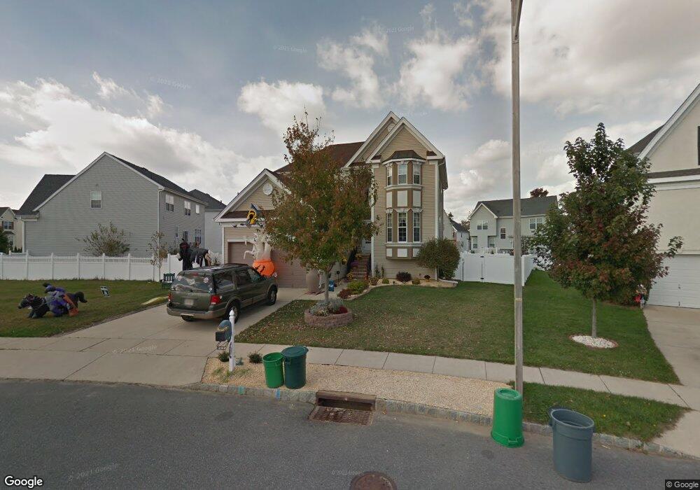
668 Worcester Dr West Deptford, NJ 08086
West Deptford Township NeighborhoodEstimated Value: $543,884 - $590,000
--
Bed
--
Bath
2,582
Sq Ft
$218/Sq Ft
Est. Value
About This Home
This home is located at 668 Worcester Dr, West Deptford, NJ 08086 and is currently estimated at $562,971, approximately $218 per square foot. 668 Worcester Dr is a home located in Gloucester County with nearby schools including Green-Fields Elementary School, Red Bank Elementary School, and Oakview Elementary School.
Ownership History
Date
Name
Owned For
Owner Type
Purchase Details
Closed on
Aug 26, 2005
Sold by
D R Horton Inc
Bought by
Fisher Ronald T and Fisher Kelly Ann
Current Estimated Value
Home Financials for this Owner
Home Financials are based on the most recent Mortgage that was taken out on this home.
Original Mortgage
$240,200
Outstanding Balance
$128,023
Interest Rate
5.79%
Mortgage Type
Fannie Mae Freddie Mac
Estimated Equity
$434,948
Create a Home Valuation Report for This Property
The Home Valuation Report is an in-depth analysis detailing your home's value as well as a comparison with similar homes in the area
Home Values in the Area
Average Home Value in this Area
Purchase History
| Date | Buyer | Sale Price | Title Company |
|---|---|---|---|
| Fisher Ronald T | $300,290 | Title America Agency Corp |
Source: Public Records
Mortgage History
| Date | Status | Borrower | Loan Amount |
|---|---|---|---|
| Open | Fisher Ronald T | $240,200 |
Source: Public Records
Tax History Compared to Growth
Tax History
| Year | Tax Paid | Tax Assessment Tax Assessment Total Assessment is a certain percentage of the fair market value that is determined by local assessors to be the total taxable value of land and additions on the property. | Land | Improvement |
|---|---|---|---|---|
| 2025 | $11,262 | $322,500 | $65,700 | $256,800 |
| 2024 | $11,117 | $322,500 | $65,700 | $256,800 |
| 2023 | $11,117 | $322,500 | $65,700 | $256,800 |
| 2022 | $11,065 | $322,500 | $65,700 | $256,800 |
| 2021 | $11,026 | $322,500 | $65,700 | $256,800 |
| 2020 | $11,000 | $322,500 | $65,700 | $256,800 |
| 2019 | $10,694 | $322,500 | $65,700 | $256,800 |
| 2018 | $10,404 | $322,500 | $65,700 | $256,800 |
| 2017 | $10,162 | $322,500 | $65,700 | $256,800 |
| 2016 | $9,878 | $322,500 | $65,700 | $256,800 |
| 2015 | $9,802 | $335,900 | $65,700 | $270,200 |
| 2014 | $9,315 | $335,900 | $65,700 | $270,200 |
Source: Public Records
Map
Nearby Homes
- 640 Worcester Dr
- 863 Doncaster Dr
- 87 Woodway Dr Unit 87
- 1091 Buckingham Dr Unit 45
- 740 Carter Hill Dr
- 12 Highbridge Ln Unit I2
- 125 Lionheart Ln Unit C125
- 1012 Moore Rd Unit 6
- 1066 Buckingham Dr
- 1220 Royal Ln
- 1102 Barnesdale Rd
- 1311 Barnesdale Rd
- 4 Saint Emilion Ct
- 1810 Fernwood Dr
- 97 Church St
- 1054 Kings Hwy
- 94 Aviary Rd
- 64 Tilden Rd
- 14 Aviary Rd
- 247 Crown Point Rd