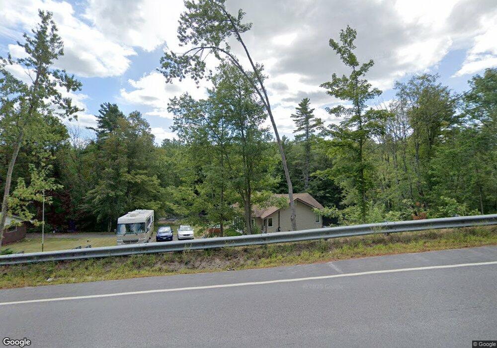
669 Water St West Newfield, ME 04095
Newfield NeighborhoodEstimated Value: $260,096 - $321,000
3
Beds
4
Baths
1,669
Sq Ft
$171/Sq Ft
Est. Value
About This Home
This home is located at 669 Water St, West Newfield, ME 04095 and is currently estimated at $285,024, approximately $170 per square foot. 669 Water St is a home with nearby schools including Massabesic High School.
Create a Home Valuation Report for This Property
The Home Valuation Report is an in-depth analysis detailing your home's value as well as a comparison with similar homes in the area
Home Values in the Area
Average Home Value in this Area
Tax History Compared to Growth
Tax History
| Year | Tax Paid | Tax Assessment Tax Assessment Total Assessment is a certain percentage of the fair market value that is determined by local assessors to be the total taxable value of land and additions on the property. | Land | Improvement |
|---|---|---|---|---|
| 2025 | $2,108 | $170,800 | $53,000 | $117,800 |
| 2024 | $2,015 | $170,800 | $53,000 | $117,800 |
| 2023 | $1,865 | $170,800 | $53,000 | $117,800 |
| 2022 | $1,667 | $170,800 | $53,000 | $117,800 |
| 2021 | $1,555 | $136,600 | $42,400 | $94,200 |
| 2020 | $2,610 | $136,600 | $42,400 | $94,200 |
| 2019 | $2,576 | $136,600 | $42,400 | $94,200 |
| 2018 | $2,545 | $136,600 | $42,400 | $94,200 |
| 2017 | $2,486 | $136,000 | $42,400 | $93,600 |
| 2016 | $1,429 | $136,000 | $42,400 | $93,600 |
| 2015 | $1,325 | $136,000 | $42,400 | $93,600 |
| 2014 | $1,965 | $211,300 | $50,900 | $160,400 |
| 2013 | $1,902 | $211,300 | $50,900 | $160,400 |
Source: Public Records
Map
Nearby Homes
- 360 Bridge St
- 48 Elm St
- 44 Carroll Pit Rd
- 223 Bridge St
- Lot 3C Bridge St
- 00 Bridge St
- 38-25.2 0 Row Mowry Ln
- 11 Symmes Dr
- 91 Patterson Rd
- 154 Staples Rd
- 545 Foss Rd
- 515 Range East Rd
- 0 Stone Hill Rd
- 282 Granny Kent Pond Rd
- 585 Newfield Rd
- 590 Newfield Rd
- 164 Granny Kent Pond Rd
- 220 Bond Spring Rd
- 00 Carter Ln
- 570 Maplewood Rd