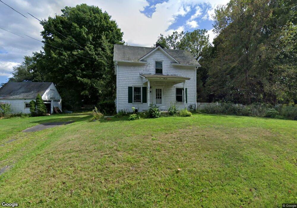
67 Benedict Rd Bethel, CT 06801
Estimated Value: $340,000 - $426,000
2
Beds
1
Bath
818
Sq Ft
$461/Sq Ft
Est. Value
About This Home
This home is located at 67 Benedict Rd, Bethel, CT 06801 and is currently estimated at $376,692, approximately $460 per square foot. 67 Benedict Rd is a home located in Fairfield County with nearby schools including R.M.T. Johnson School, Bethel Middle School, and Bethel High School.
Ownership History
Date
Name
Owned For
Owner Type
Purchase Details
Closed on
Jun 17, 1999
Sold by
Haeger Bonnie J and Taylor Richard
Bought by
Ciaschini Martha
Current Estimated Value
Home Financials for this Owner
Home Financials are based on the most recent Mortgage that was taken out on this home.
Original Mortgage
$111,920
Interest Rate
6.99%
Purchase Details
Closed on
May 2, 1994
Sold by
Fusco Annie
Bought by
Taylor Richard and Haeger Bonnie
Create a Home Valuation Report for This Property
The Home Valuation Report is an in-depth analysis detailing your home's value as well as a comparison with similar homes in the area
Home Values in the Area
Average Home Value in this Area
Purchase History
| Date | Buyer | Sale Price | Title Company |
|---|---|---|---|
| Ciaschini Martha | $139,900 | -- | |
| Taylor Richard | $127,000 | -- |
Source: Public Records
Mortgage History
| Date | Status | Borrower | Loan Amount |
|---|---|---|---|
| Open | Taylor Richard | $128,000 | |
| Closed | Taylor Richard | $98,204 | |
| Closed | Taylor Richard | $102,000 | |
| Closed | Taylor Richard | $111,920 |
Source: Public Records
Tax History Compared to Growth
Tax History
| Year | Tax Paid | Tax Assessment Tax Assessment Total Assessment is a certain percentage of the fair market value that is determined by local assessors to be the total taxable value of land and additions on the property. | Land | Improvement |
|---|---|---|---|---|
| 2025 | $5,271 | $173,320 | $97,720 | $75,600 |
| 2024 | $5,056 | $173,320 | $97,720 | $75,600 |
| 2023 | $4,927 | $173,320 | $97,720 | $75,600 |
| 2022 | $4,956 | $143,290 | $97,720 | $45,570 |
| 2021 | $4,909 | $143,290 | $97,720 | $45,570 |
| 2020 | $4,835 | $143,290 | $97,720 | $45,570 |
| 2019 | $4,787 | $143,290 | $97,720 | $45,570 |
| 2018 | $4,710 | $143,290 | $97,720 | $45,570 |
| 2017 | $5,337 | $162,330 | $99,470 | $62,860 |
| 2016 | $5,222 | $162,330 | $99,470 | $62,860 |
| 2015 | $5,224 | $162,330 | $99,470 | $62,860 |
| 2014 | $5,212 | $162,330 | $99,470 | $62,860 |
Source: Public Records
Map
Nearby Homes
- 18 Sand Hill Rd
- 8 Fieldstone Ct Unit 8
- 19 Fieldstone Ct Unit 19
- 10 Fieldstone Ct Unit 10
- 6 Fieldstone Ct
- 16 Westview Dr
- 56 Ridgedale Rd
- 7 Hawleyville Rd
- 21 Adams Dr
- 21 Sky Edge Dr
- 21 Chimney Dr
- 7 Mcneil Rd
- 521 Copper Square Dr
- 32 Redwood Dr
- 26 White Oak Dr
- 2 Autumn's Way
- 8 Walnut Ln Unit 8
- 33 Payne Rd
- 25 Pound Sweet Hill
- 33 Green Pasture Rd
- 65 Benedict Rd
- 72 Benedict Rd
- 68 Benedict Rd
- 74 Benedict Rd
- 4 Old Field Dr
- 66 Benedict Rd
- 70 Benedict Rd
- 2 Old Field Dr
- 6 Old Field Dr
- 76 Benedict Rd
- 12 Terrace Dr
- 1 Old Field Dr
- 64 Benedict Rd
- 9 Terrace Dr
- 8 Old Field Dr
- 17 Sand Hill Rd
- 15 Sand Hill Rd
- 19 Sand Hill Rd
- 3 Old Field Dr
- 13 Sand Hill Rd