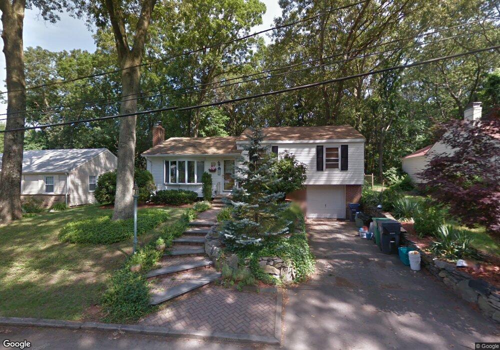
67 Darling St Warwick, RI 02886
Cowesett NeighborhoodEstimated Value: $458,719 - $498,000
3
Beds
2
Baths
1,632
Sq Ft
$292/Sq Ft
Est. Value
About This Home
This home is located at 67 Darling St, Warwick, RI 02886 and is currently estimated at $476,180, approximately $291 per square foot. 67 Darling St is a home located in Kent County with nearby schools including Eleanor Briggs School.
Ownership History
Date
Name
Owned For
Owner Type
Purchase Details
Closed on
May 1, 2015
Sold by
Hall Daniel C and Hopkins Claire L
Bought by
Tammelleo Clare L
Current Estimated Value
Purchase Details
Closed on
Jul 17, 1996
Sold by
Young Christopher and Young Lorraine
Bought by
Hopkins Christopher W and Hopkins Clare
Purchase Details
Closed on
Jan 13, 1989
Sold by
Galek Stanley J
Bought by
Young Christopher
Create a Home Valuation Report for This Property
The Home Valuation Report is an in-depth analysis detailing your home's value as well as a comparison with similar homes in the area
Home Values in the Area
Average Home Value in this Area
Purchase History
| Date | Buyer | Sale Price | Title Company |
|---|---|---|---|
| Tammelleo Clare L | -- | -- | |
| Hopkins Christopher W | $126,000 | -- | |
| Young Christopher | $133,500 | -- | |
| Young Christopher | $133,500 | -- |
Source: Public Records
Mortgage History
| Date | Status | Borrower | Loan Amount |
|---|---|---|---|
| Previous Owner | Young Christopher | $243,183 | |
| Previous Owner | Young Christopher | $233,516 | |
| Previous Owner | Young Christopher | $12,000 |
Source: Public Records
Tax History Compared to Growth
Tax History
| Year | Tax Paid | Tax Assessment Tax Assessment Total Assessment is a certain percentage of the fair market value that is determined by local assessors to be the total taxable value of land and additions on the property. | Land | Improvement |
|---|---|---|---|---|
| 2025 | $4,995 | $393,300 | $128,500 | $264,800 |
| 2024 | $4,807 | $332,200 | $108,100 | $224,100 |
| 2023 | $4,714 | $332,200 | $108,100 | $224,100 |
| 2022 | $4,499 | $240,200 | $77,000 | $163,200 |
| 2021 | $4,499 | $240,200 | $77,000 | $163,200 |
| 2020 | $4,499 | $240,200 | $77,000 | $163,200 |
| 2019 | $4,499 | $240,200 | $77,000 | $163,200 |
| 2018 | $4,482 | $215,500 | $77,000 | $138,500 |
| 2017 | $4,362 | $215,500 | $77,000 | $138,500 |
| 2016 | $4,362 | $215,500 | $77,000 | $138,500 |
| 2015 | $3,590 | $173,000 | $68,200 | $104,800 |
| 2014 | $3,470 | $173,000 | $68,200 | $104,800 |
| 2013 | $3,424 | $173,000 | $68,200 | $104,800 |
Source: Public Records
Map
Nearby Homes
- 107 Viceroy Rd
- 527 Cowesett Rd
- 17 Larchmont Rd
- 155 Birkshire Dr
- 17 Wampum Dr
- 151 Drum Rock Ave
- 180 Boulder View Dr
- 52 Benefit St
- 56 Cindy Ln
- 189 Cowesett Rd
- 45 Country Ln
- 16 Taylor Ln
- 1 Cassidy
- 0 Centerville Rd
- 78 Timberline Rd
- 199 Love Ln
- 181 Highland Ave
- 3800 Post Rd Unit 4
- 25 Forbes St
- 44 Stonebridge Ln Unit 38