67 Grubb Rd Pottstown, PA 19465
Estimated Value: $718,000 - $798,000
3
Beds
2
Baths
3,139
Sq Ft
$241/Sq Ft
Est. Value
About This Home
This home is located at 67 Grubb Rd, Pottstown, PA 19465 and is currently estimated at $756,889, approximately $241 per square foot. 67 Grubb Rd is a home located in Chester County with nearby schools including East Vincent Elementary School, Owen J Roberts Middle School, and Owen J Roberts High School.
Ownership History
Date
Name
Owned For
Owner Type
Purchase Details
Closed on
Feb 16, 2011
Sold by
Munz Henry W and Munz Margaret T
Bought by
Munz Margaret T
Current Estimated Value
Home Financials for this Owner
Home Financials are based on the most recent Mortgage that was taken out on this home.
Original Mortgage
$243,000
Interest Rate
4.83%
Mortgage Type
New Conventional
Create a Home Valuation Report for This Property
The Home Valuation Report is an in-depth analysis detailing your home's value as well as a comparison with similar homes in the area
Home Values in the Area
Average Home Value in this Area
Purchase History
| Date | Buyer | Sale Price | Title Company |
|---|---|---|---|
| Munz Margaret T | -- | None Available |
Source: Public Records
Mortgage History
| Date | Status | Borrower | Loan Amount |
|---|---|---|---|
| Closed | Munz Margaret T | $243,000 |
Source: Public Records
Tax History Compared to Growth
Tax History
| Year | Tax Paid | Tax Assessment Tax Assessment Total Assessment is a certain percentage of the fair market value that is determined by local assessors to be the total taxable value of land and additions on the property. | Land | Improvement |
|---|---|---|---|---|
| 2025 | $9,228 | $219,330 | $54,580 | $164,750 |
| 2024 | $9,228 | $219,330 | $54,580 | $164,750 |
| 2023 | $9,098 | $219,330 | $54,580 | $164,750 |
| 2022 | $8,954 | $219,330 | $54,580 | $164,750 |
| 2021 | $8,847 | $219,330 | $54,580 | $164,750 |
| 2020 | $8,625 | $219,330 | $54,580 | $164,750 |
| 2019 | $8,467 | $219,330 | $54,580 | $164,750 |
| 2018 | $8,307 | $219,330 | $54,580 | $164,750 |
| 2017 | $8,115 | $219,330 | $54,580 | $164,750 |
| 2016 | $6,594 | $219,330 | $54,580 | $164,750 |
| 2015 | $6,594 | $219,330 | $54,580 | $164,750 |
| 2014 | $6,594 | $219,330 | $54,580 | $164,750 |
Source: Public Records
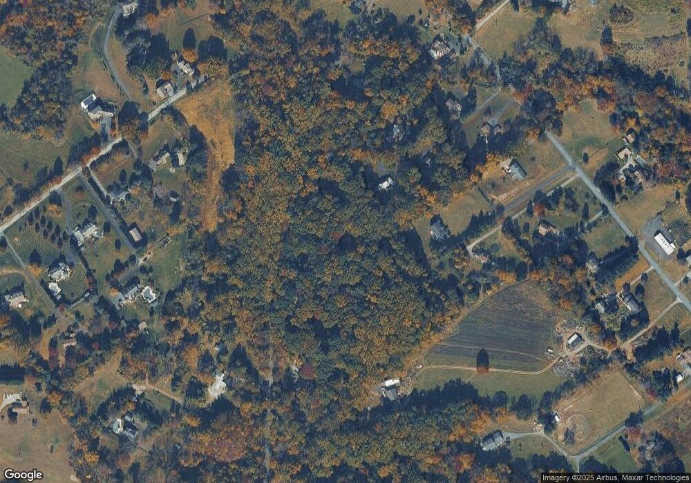
Map
Nearby Homes
- 550 Ebelhare Rd
- 723 Saylors Mill Rd
- 25 Hastings Ln
- 287 Kulp Rd
- 537 Schoolhouse Rd
- 10 Ashwood Dr
- 127 Bishop Rd
- 448 Schoolhouse Rd
- 26 Kolb Rd
- 1112 W Bridge St
- 120 Alackness Rd
- 3 Brower Ln
- 5 N Savanna Dr
- 108 Hartman Rd
- 176 Bucktown Crossing Unit 42C
- 104 Badalamenti Dr
- 818 Graphite Dr
- 826 Graphite Dr
- 1547 Pottstown Pike
- 205 Polaris Dr