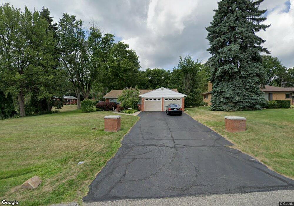
670 Bow Ln Waterford, MI 48328
Waterford Township NeighborhoodEstimated Value: $319,000 - $452,000
3
Beds
4
Baths
1,598
Sq Ft
$228/Sq Ft
Est. Value
About This Home
This home is located at 670 Bow Ln, Waterford, MI 48328 and is currently estimated at $363,790, approximately $227 per square foot. 670 Bow Ln is a home located in Oakland County with nearby schools including Donelson Hills Elementary School, Mason Middle School, and Waterford Mott High School.
Ownership History
Date
Name
Owned For
Owner Type
Purchase Details
Closed on
Dec 7, 2020
Sold by
Carter Howard A and Carter Carin T
Bought by
Corsaut Kirsten and Mastracci Matthew
Current Estimated Value
Home Financials for this Owner
Home Financials are based on the most recent Mortgage that was taken out on this home.
Original Mortgage
$228,000
Outstanding Balance
$203,350
Interest Rate
2.8%
Mortgage Type
New Conventional
Estimated Equity
$160,440
Purchase Details
Closed on
May 28, 1996
Sold by
Braun Scott M
Bought by
Carter Howard A
Home Financials for this Owner
Home Financials are based on the most recent Mortgage that was taken out on this home.
Original Mortgage
$144,000
Interest Rate
7.97%
Create a Home Valuation Report for This Property
The Home Valuation Report is an in-depth analysis detailing your home's value as well as a comparison with similar homes in the area
Home Values in the Area
Average Home Value in this Area
Purchase History
| Date | Buyer | Sale Price | Title Company |
|---|---|---|---|
| Corsaut Kirsten | $240,000 | Abstract Title Agency | |
| Carter Howard A | $160,000 | -- |
Source: Public Records
Mortgage History
| Date | Status | Borrower | Loan Amount |
|---|---|---|---|
| Open | Corsaut Kirsten | $228,000 | |
| Previous Owner | Carter Howard A | $144,000 |
Source: Public Records
Tax History Compared to Growth
Tax History
| Year | Tax Paid | Tax Assessment Tax Assessment Total Assessment is a certain percentage of the fair market value that is determined by local assessors to be the total taxable value of land and additions on the property. | Land | Improvement |
|---|---|---|---|---|
| 2024 | $2,764 | $137,340 | $0 | $0 |
| 2023 | $2,637 | $128,680 | $0 | $0 |
| 2022 | $4,283 | $119,180 | $0 | $0 |
| 2021 | $4,055 | $113,750 | $0 | $0 |
| 2020 | $2,301 | $106,380 | $0 | $0 |
| 2019 | $3,102 | $80,170 | $0 | $0 |
| 2018 | $3,062 | $73,140 | $0 | $0 |
| 2017 | $2,878 | $73,140 | $0 | $0 |
| 2016 | $2,866 | $66,820 | $0 | $0 |
| 2015 | -- | $61,330 | $0 | $0 |
| 2014 | -- | $57,840 | $0 | $0 |
| 2011 | -- | $53,490 | $0 | $0 |
Source: Public Records
Map
Nearby Homes
- 433 Hogarth St
- 425 Hogarth St
- 424 Hogarth St
- The Dover Plan at Hogarth
- The Dawson Plan at Hogarth
- The Concord Plan at Hogarth
- The Everest Plan at Hogarth
- 540 Lake Village Ave
- 603 Woodingham Ave
- 715 Woodingham Ave
- 3313 Harbours Blvd
- 581 S Winding Dr
- 321 Beverly Estates Dr Unit 5
- 345 Beverly Island Dr
- 3860 Lawley Ave
- 3932 Oak Knoll Rd
- 445 Lakeside Dr
- 3553 Port Cove Dr Unit 39
- 1035 Wyman Dr
- 3559 Port Cove Dr Unit 17