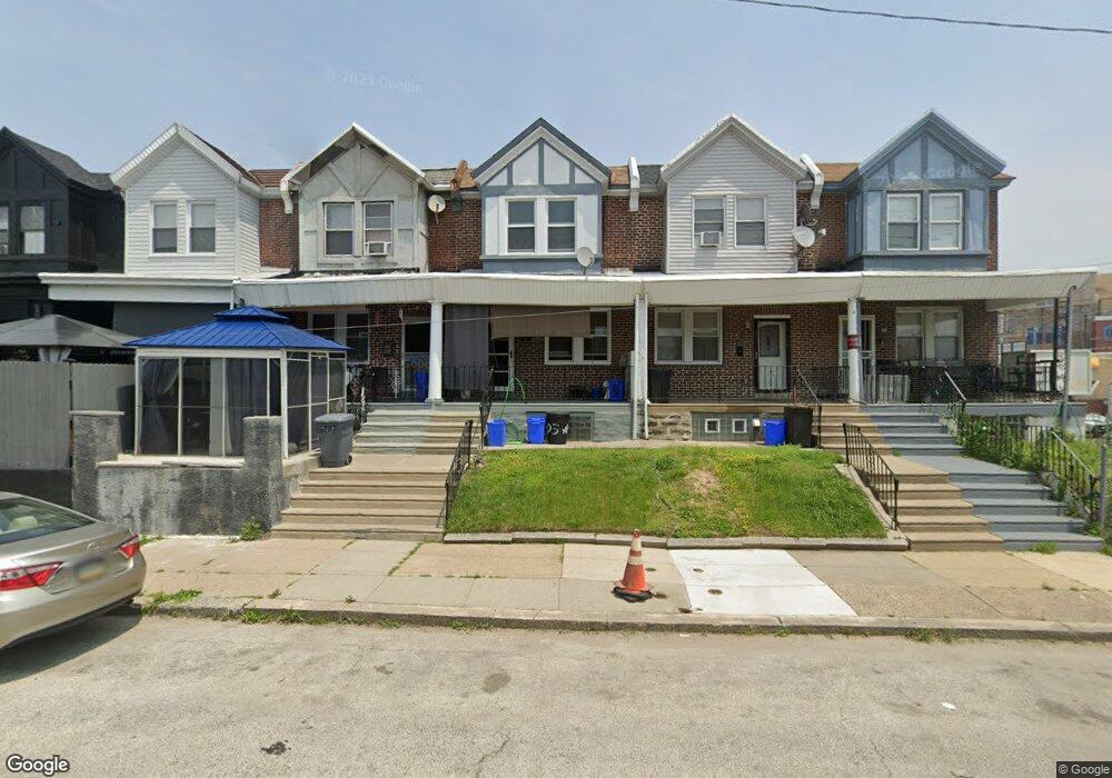
6705 Woolston Ave Philadelphia, PA 19138
West Oak Lane NeighborhoodEstimated Value: $175,000 - $264,000
3
Beds
1
Bath
1,136
Sq Ft
$179/Sq Ft
Est. Value
About This Home
This home is located at 6705 Woolston Ave, Philadelphia, PA 19138 and is currently estimated at $203,743, approximately $179 per square foot. 6705 Woolston Ave is a home located in Philadelphia County with nearby schools including William Rowen School, Gen. Louis Wagner Middle School, and Martin Luther King High School.
Ownership History
Date
Name
Owned For
Owner Type
Purchase Details
Closed on
Dec 16, 1998
Sold by
Abney Mason Broderick and Abney Mason Alice
Bought by
Prescott Deborah
Current Estimated Value
Purchase Details
Closed on
Jul 13, 1998
Sold by
Abney Abney Alice Alice and Abney Mason Alice
Bought by
Abney Mason Broderick and Abney Mason Alice
Purchase Details
Closed on
Mar 2, 1998
Sold by
Fleet Mtg Corp
Bought by
Federal Home Loan Mortgage Corporation
Create a Home Valuation Report for This Property
The Home Valuation Report is an in-depth analysis detailing your home's value as well as a comparison with similar homes in the area
Home Values in the Area
Average Home Value in this Area
Purchase History
| Date | Buyer | Sale Price | Title Company |
|---|---|---|---|
| Prescott Deborah | $52,900 | -- | |
| Abney Mason Broderick | -- | -- | |
| Abney Alice | $24,000 | -- | |
| Federal Home Loan Mortgage Corporation | $3,500 | -- |
Source: Public Records
Tax History Compared to Growth
Tax History
| Year | Tax Paid | Tax Assessment Tax Assessment Total Assessment is a certain percentage of the fair market value that is determined by local assessors to be the total taxable value of land and additions on the property. | Land | Improvement |
|---|---|---|---|---|
| 2025 | $1,961 | $167,900 | $33,580 | $134,320 |
| 2024 | $1,961 | $167,900 | $33,580 | $134,320 |
| 2023 | $1,961 | $140,100 | $28,020 | $112,080 |
| 2022 | $890 | $95,100 | $28,020 | $67,080 |
| 2021 | $1,520 | $0 | $0 | $0 |
| 2020 | $1,520 | $0 | $0 | $0 |
| 2019 | $1,587 | $0 | $0 | $0 |
| 2018 | $1,368 | $0 | $0 | $0 |
| 2017 | $1,368 | $0 | $0 | $0 |
| 2016 | $948 | $0 | $0 | $0 |
| 2015 | $846 | $0 | $0 | $0 |
| 2014 | -- | $93,100 | $7,680 | $85,420 |
| 2012 | -- | $12,928 | $2,105 | $10,823 |
Source: Public Records
Map
Nearby Homes
- 2061 Independence St
- 6731 N Woodstock St
- 6733 N Woodstock St
- 2056 Eastburn Ave
- 6600 N Opal St
- 6603 N 21st St
- 6558 Limekiln Pike
- 2070 E Haines St
- 2022 66th Ave
- 6534 N Lambert St
- 6824 Rodney St
- 2120 66th Ave
- 2105 Stenton Ave
- 2115 Stenton Ave
- 2125 Stenton Ave
- 1914 W 65th Ave
- 6732 Ogontz Ave
- 6531 N Beechwood St
- 6332 E Wister St
- 2152 Stenton Ave
- 6707 Woolston Ave
- 6703 Woolston Ave
- 6709 Woolston Ave
- 6701 Woolston Ave
- 6711 Woolston Ave
- 6713 Woolston Ave
- 6702 N Woodstock St
- 6700 N Woodstock St
- 6704 N Woodstock St
- 6715 Woolston Ave
- 6708 N Woodstock St
- 6706 N Woodstock St
- 6717 Woolston Ave
- 6710 N Woodstock St
- 6719 Woolston Ave
- 6712 N Woodstock St
- 6710 Woolston Ave
- 6721 Woolston Ave
- 6714 N Woodstock St
- 6712 Woolston Ave