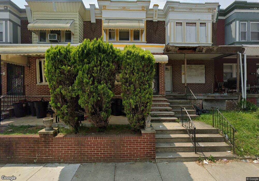
6712 N Woodstock St Philadelphia, PA 19138
West Oak Lane NeighborhoodEstimated Value: $172,000 - $228,000
3
Beds
1
Bath
1,136
Sq Ft
$174/Sq Ft
Est. Value
About This Home
This home is located at 6712 N Woodstock St, Philadelphia, PA 19138 and is currently estimated at $197,964, approximately $174 per square foot. 6712 N Woodstock St is a home located in Philadelphia County with nearby schools including William Rowen School, Gen. Louis Wagner Middle School, and Martin Luther King High School.
Ownership History
Date
Name
Owned For
Owner Type
Purchase Details
Closed on
Jan 27, 2019
Sold by
Lavette Wiley Jenise Marie
Bought by
Wiley Clarence E
Current Estimated Value
Purchase Details
Closed on
Dec 17, 2015
Sold by
Wiley Clarence E
Bought by
Wiley Jenise Marie Lavette
Purchase Details
Closed on
Dec 25, 2011
Sold by
Wiley Jenique L
Bought by
Wiley Clarence E
Purchase Details
Closed on
Oct 5, 2009
Sold by
Peele Jenise Y
Bought by
Wiley Jenique L
Purchase Details
Closed on
Dec 22, 2008
Sold by
Swain Yvonne and Peele Jenise Y
Bought by
Peele Jenise Y
Create a Home Valuation Report for This Property
The Home Valuation Report is an in-depth analysis detailing your home's value as well as a comparison with similar homes in the area
Home Values in the Area
Average Home Value in this Area
Purchase History
| Date | Buyer | Sale Price | Title Company |
|---|---|---|---|
| Wiley Clarence E | -- | None Available | |
| Wiley Jenise Marie Lavette | -- | None Available | |
| Wiley Clarence E | -- | None Available | |
| Wiley Jenique L | -- | None Available | |
| Peele Jenise Y | -- | None Available | |
| Peele Jenise Y | -- | None Available |
Source: Public Records
Tax History Compared to Growth
Tax History
| Year | Tax Paid | Tax Assessment Tax Assessment Total Assessment is a certain percentage of the fair market value that is determined by local assessors to be the total taxable value of land and additions on the property. | Land | Improvement |
|---|---|---|---|---|
| 2025 | $1,939 | $164,500 | $32,900 | $131,600 |
| 2024 | $1,939 | $164,500 | $32,900 | $131,600 |
| 2023 | $1,939 | $138,500 | $27,700 | $110,800 |
| 2022 | $871 | $93,500 | $27,700 | $65,800 |
| 2021 | $1,501 | $0 | $0 | $0 |
| 2020 | $1,501 | $0 | $0 | $0 |
| 2019 | $1,545 | $0 | $0 | $0 |
| 2018 | $1,338 | $0 | $0 | $0 |
| 2017 | $1,338 | $0 | $0 | $0 |
| 2016 | $918 | $0 | $0 | $0 |
| 2015 | $820 | $0 | $0 | $0 |
| 2014 | -- | $91,200 | $6,854 | $84,346 |
| 2012 | -- | $11,104 | $1,444 | $9,660 |
Source: Public Records
Map
Nearby Homes
- 2061 Independence St
- 6731 N Woodstock St
- 6733 N Woodstock St
- 2056 Eastburn Ave
- 6600 N Opal St
- 6603 N 21st St
- 6558 Limekiln Pike
- 2070 E Haines St
- 2022 66th Ave
- 6534 N Lambert St
- 6824 Rodney St
- 2120 66th Ave
- 2105 Stenton Ave
- 2115 Stenton Ave
- 2125 Stenton Ave
- 1914 W 65th Ave
- 6732 Ogontz Ave
- 6531 N Beechwood St
- 6332 E Wister St
- 2152 Stenton Ave
- 6710 N Woodstock St
- 6714 N Woodstock St
- 6708 N Woodstock St
- 6716 N Woodstock St
- 6706 N Woodstock St
- 6718 N Woodstock St
- 6704 N Woodstock St
- 6720 N Woodstock St
- 6702 N Woodstock St
- 6722 N Woodstock St
- 6715 Woolston Ave
- 6717 Woolston Ave
- 6713 Woolston Ave
- 6711 Woolston Ave
- 6719 Woolston Ave
- 6709 Woolston Ave
- 6721 Woolston Ave
- 6724 N Woodstock St
- 6700 N Woodstock St
- 6723 Woolston Ave