6716 Mustang Trail Sanger, TX 76266
Estimated Value: $509,023 - $655,000
4
Beds
2
Baths
2,092
Sq Ft
$264/Sq Ft
Est. Value
About This Home
This home is located at 6716 Mustang Trail, Sanger, TX 76266 and is currently estimated at $552,756, approximately $264 per square foot. 6716 Mustang Trail is a home located in Denton County with nearby schools including Krum Early Education Center, Dyer Elementary School, and Krum Middle School.
Ownership History
Date
Name
Owned For
Owner Type
Purchase Details
Closed on
Sep 1, 2022
Sold by
Lee Pearn Ii Danne
Bought by
Pearn Family Revocable Living Trust
Current Estimated Value
Purchase Details
Closed on
Aug 1, 2003
Sold by
Evan Angel Inc
Bought by
Pearn Danne Lee
Home Financials for this Owner
Home Financials are based on the most recent Mortgage that was taken out on this home.
Original Mortgage
$175,750
Interest Rate
5.24%
Mortgage Type
Purchase Money Mortgage
Purchase Details
Closed on
Apr 7, 2003
Sold by
Fars Investments Lp
Bought by
Evan Angel Inc
Home Financials for this Owner
Home Financials are based on the most recent Mortgage that was taken out on this home.
Original Mortgage
$123,935
Interest Rate
5.64%
Mortgage Type
Purchase Money Mortgage
Create a Home Valuation Report for This Property
The Home Valuation Report is an in-depth analysis detailing your home's value as well as a comparison with similar homes in the area
Home Values in the Area
Average Home Value in this Area
Purchase History
| Date | Buyer | Sale Price | Title Company |
|---|---|---|---|
| Pearn Family Revocable Living Trust | -- | -- | |
| Pearn Danne Lee | -- | Fatco | |
| Evan Angel Inc | -- | Fatco |
Source: Public Records
Mortgage History
| Date | Status | Borrower | Loan Amount |
|---|---|---|---|
| Previous Owner | Pearn Danne Lee | $175,750 | |
| Previous Owner | Evan Angel Inc | $123,935 |
Source: Public Records
Tax History Compared to Growth
Tax History
| Year | Tax Paid | Tax Assessment Tax Assessment Total Assessment is a certain percentage of the fair market value that is determined by local assessors to be the total taxable value of land and additions on the property. | Land | Improvement |
|---|---|---|---|---|
| 2025 | $4,403 | $484,665 | $174,240 | $310,425 |
| 2024 | $6,439 | $446,049 | $0 | $0 |
| 2023 | $4,408 | $405,499 | $100,188 | $321,227 |
| 2022 | $6,140 | $368,635 | $100,188 | $285,483 |
| 2021 | $5,384 | $335,123 | $100,188 | $234,935 |
| 2020 | $5,416 | $327,325 | $100,188 | $227,137 |
| 2019 | $5,503 | $304,968 | $100,188 | $229,341 |
| 2018 | $5,037 | $277,244 | $61,855 | $215,389 |
| 2017 | $5,231 | $286,090 | $61,855 | $234,605 |
| 2016 | $4,813 | $260,082 | $61,855 | $220,537 |
| 2015 | $3,750 | $236,438 | $40,075 | $205,067 |
| 2014 | $3,750 | $214,944 | $40,075 | $174,869 |
| 2013 | -- | $216,582 | $40,075 | $176,507 |
Source: Public Records
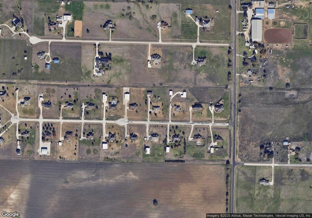
Map
Nearby Homes
- 6713 Mustang Trail
- 6501 Indian Trail
- . Fm 2450 & Indian Trail
- 6869 Borth Rd
- 6033 Mango Dr
- 6400 Ridgerock Dr
- 8167 Houston
- 6048 Mango Dr
- 6044 Mango Dr
- 6691 Hawkeye Rd
- 7196 Hawkeye Rd
- TBD Michael Rd
- 8636 Kassandra Dr
- 6568 Michael Rd
- 8751 Kassandra Dr
- 8774 Kassandra Dr
- 6124 High Meadows Dr
- TBD Hawkeye Rd
- 6552 Private Rd 6601
- 9191 Lamar St
- 6712 Mustang Trail
- 6720 Mustang Trail
- 6717 Mustang Trail
- 6721 Mustang Trail
- 6724 Mustang Trail
- 6421 Lucky Spur Ln
- 6709 Mustang Trail
- 6725 Mustang Trail
- 6704 Mustang Trail
- 6728 Mustang Trail
- 6311 Lucky Spur Ln
- 6551 Lucky Spur Ln
- 6705 Mustang Trail
- 6729 Mustang Trail
- 2450 Farm To Market Road 2450
- 6420 Lucky Spur Ln
- 6732 Mustang Trail
- 6310 Lucky Spur Ln
- 6736 Mustang Trail
- 6739 Mustang Trail