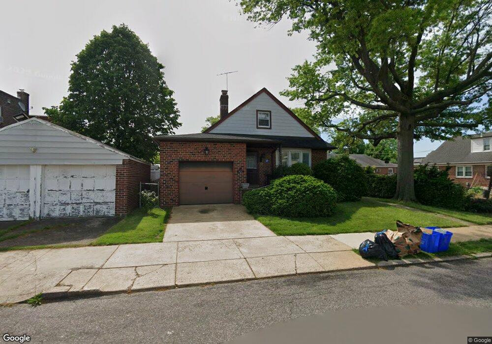
6727 Bingham St Philadelphia, PA 19111
Lawncrest NeighborhoodEstimated Value: $291,000 - $377,000
--
Bed
--
Bath
1,728
Sq Ft
$197/Sq Ft
Est. Value
About This Home
This home is located at 6727 Bingham St, Philadelphia, PA 19111 and is currently estimated at $340,863, approximately $197 per square foot. 6727 Bingham St is a home located in Philadelphia County with nearby schools including J. Hampton Moore School, Castor Gardens Middle School, and Northeast High School.
Ownership History
Date
Name
Owned For
Owner Type
Purchase Details
Closed on
Jun 14, 2000
Sold by
Richmond Anne
Bought by
Bauer Karl G and Bauer Phyllis Ann
Current Estimated Value
Home Financials for this Owner
Home Financials are based on the most recent Mortgage that was taken out on this home.
Original Mortgage
$40,000
Outstanding Balance
$14,122
Interest Rate
8.24%
Estimated Equity
$326,741
Create a Home Valuation Report for This Property
The Home Valuation Report is an in-depth analysis detailing your home's value as well as a comparison with similar homes in the area
Home Values in the Area
Average Home Value in this Area
Purchase History
| Date | Buyer | Sale Price | Title Company |
|---|---|---|---|
| Bauer Karl G | $100,000 | -- |
Source: Public Records
Mortgage History
| Date | Status | Borrower | Loan Amount |
|---|---|---|---|
| Open | Bauer Karl G | $40,000 |
Source: Public Records
Tax History Compared to Growth
Tax History
| Year | Tax Paid | Tax Assessment Tax Assessment Total Assessment is a certain percentage of the fair market value that is determined by local assessors to be the total taxable value of land and additions on the property. | Land | Improvement |
|---|---|---|---|---|
| 2025 | $3,812 | $324,700 | $64,940 | $259,760 |
| 2024 | $3,812 | $324,700 | $64,940 | $259,760 |
| 2023 | $3,812 | $272,300 | $54,460 | $217,840 |
| 2022 | $2,171 | $227,300 | $54,460 | $172,840 |
| 2021 | $2,801 | $0 | $0 | $0 |
| 2020 | $2,801 | $0 | $0 | $0 |
| 2019 | $2,794 | $0 | $0 | $0 |
| 2018 | $2,730 | $0 | $0 | $0 |
| 2017 | $2,730 | $0 | $0 | $0 |
| 2016 | $2,310 | $0 | $0 | $0 |
| 2015 | $2,211 | $0 | $0 | $0 |
| 2014 | -- | $195,000 | $81,500 | $113,500 |
| 2012 | -- | $24,544 | $5,889 | $18,655 |
Source: Public Records
Map
Nearby Homes
- 627 Knorr St
- 629 Fanshawe St
- 524 Longshore Ave
- 720 Kerper St
- 542-48 Magee Ave
- 6704-6708 Martins Rd
- 528 Magee Ave
- 6607 Claridge St
- 811 Knorr St
- 6839 Oakley St
- 7020 Oxford Ave
- 412 Tyson Ave
- 6517 Montour St
- 6424 Bingham St
- 832 Knorr St
- 6835 Martins Mill Rd
- 325 Magee Ave
- 330 Magee Ave
- 6941 Shelbourne St
- 6504 Oxford Ave