6730 Wisconsin Ave Davenport, IA 52806
Outer Davenport/Bettendorf NeighborhoodEstimated Value: $410,000 - $486,000
3
Beds
4
Baths
3,230
Sq Ft
$142/Sq Ft
Est. Value
About This Home
This home is located at 6730 Wisconsin Ave, Davenport, IA 52806 and is currently estimated at $459,174, approximately $142 per square foot. 6730 Wisconsin Ave is a home located in Scott County with nearby schools including Millbrooke Elementary School, South Christian Elementary School, and Walcott Elementary School.
Ownership History
Date
Name
Owned For
Owner Type
Purchase Details
Closed on
Apr 15, 2005
Sold by
Stolenberg Ronald H and Stolenberg Judith
Bought by
Legacy Fields Builders Llc
Current Estimated Value
Purchase Details
Closed on
Mar 11, 2005
Sold by
Trademark Custom Homes Inc
Bought by
T C Homes Inc
Create a Home Valuation Report for This Property
The Home Valuation Report is an in-depth analysis detailing your home's value as well as a comparison with similar homes in the area
Home Values in the Area
Average Home Value in this Area
Purchase History
| Date | Buyer | Sale Price | Title Company |
|---|---|---|---|
| Legacy Fields Builders Llc | $74,000 | None Available | |
| T C Homes Inc | -- | None Available |
Source: Public Records
Tax History Compared to Growth
Tax History
| Year | Tax Paid | Tax Assessment Tax Assessment Total Assessment is a certain percentage of the fair market value that is determined by local assessors to be the total taxable value of land and additions on the property. | Land | Improvement |
|---|---|---|---|---|
| 2025 | $6,348 | $384,710 | $29,000 | $355,710 |
| 2024 | $7,570 | $365,380 | $29,000 | $336,380 |
| 2023 | $7,969 | $365,380 | $29,000 | $336,380 |
| 2022 | $7,918 | $313,850 | $26,500 | $287,350 |
| 2021 | $6,542 | $313,850 | $26,500 | $287,350 |
| 2020 | $7,204 | $287,730 | $26,500 | $261,230 |
| 2019 | $6,944 | $265,960 | $26,500 | $239,460 |
| 2018 | $2,355 | $265,960 | $26,500 | $239,460 |
| 2017 | $1,419 | $255,080 | $26,500 | $228,580 |
| 2016 | $6,457 | $255,080 | $0 | $0 |
| 2015 | $5,396 | $242,550 | $0 | $0 |
| 2014 | $5,194 | $237,450 | $0 | $0 |
| 2013 | $4,988 | $0 | $0 | $0 |
| 2012 | -- | $217,960 | $29,640 | $188,320 |
Source: Public Records
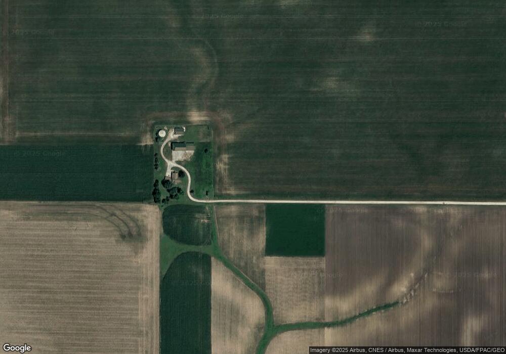
Map
Nearby Homes
- 7171 W 60th St
- 5112 N Fairmount St
- Lot 55 Franklin
- 5311 N Fairmount St
- 4504 N Gayman Ave
- 3705 W 46th St
- 6050 Hillandale Rd
- 000 W 73rd St
- 5904 Hillandale Rd
- 5824 Hillandale Rd
- 2822 High Point Dr
- 5812 Hillandale Rd
- 4849 Oakwood Ct
- 3313 W 48th Place
- 3208 W 47th Place
- 2714 W 66th St
- 4425 N Michigan Ave
- 5312 Hillandale Rd
- 5556 N Thornwood Ave
- 4413 N Michigan Ave
- 6406 W Kimberly Rd
- 6915 N Utah Ave
- 7002 Wisconsin Ave
- 6306 W Kimberly Rd
- 6535 Wisconsin Ave
- 6240 W Kimberly Rd
- 6425 W Kimberly Rd
- W Locust Unit 2
- 6226 W Kimberly Rd
- 6236 W Kimberly Rd
- 6401 W Kimberly Rd
- 6202 W Kimberly Rd
- 6216 W Kimberly Rd
- 6204 W Kimberly Rd
- 6204 W Kimberly Rd Unit 6204 A
- 6204 W Kimberly Rd Unit 6204 B
- 6410 W 60th St
- 6430 W 60th St
- 6138 W Kimberly Rd
- 6130 W Kimberly Rd